Dronas.lt

MicaSense · Sensors and cameras

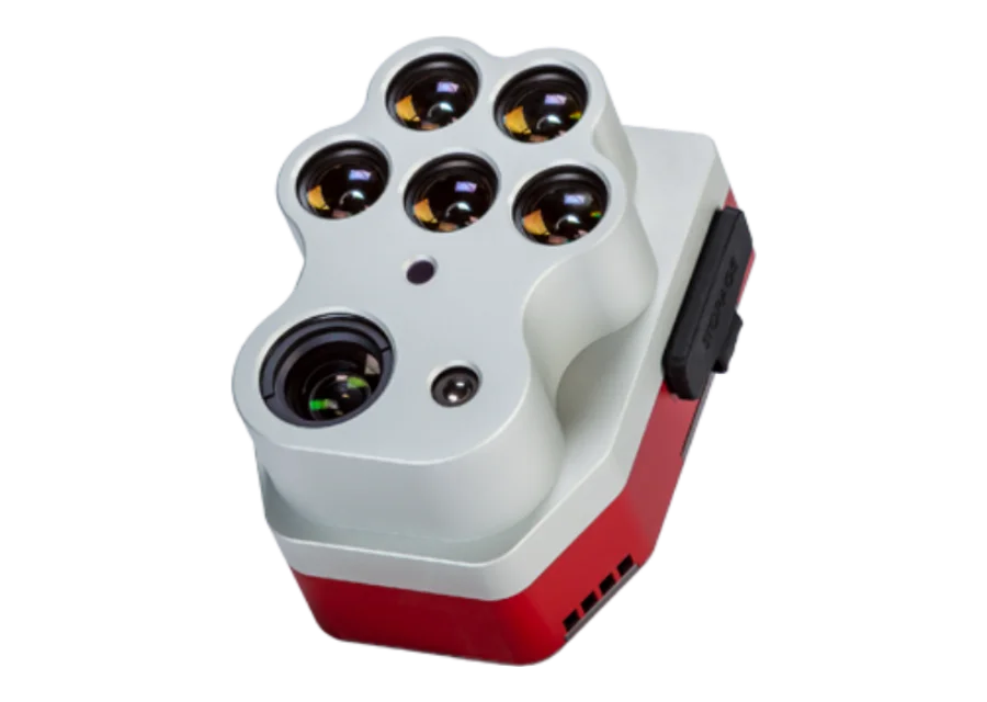
MicaSense RedEdge-P

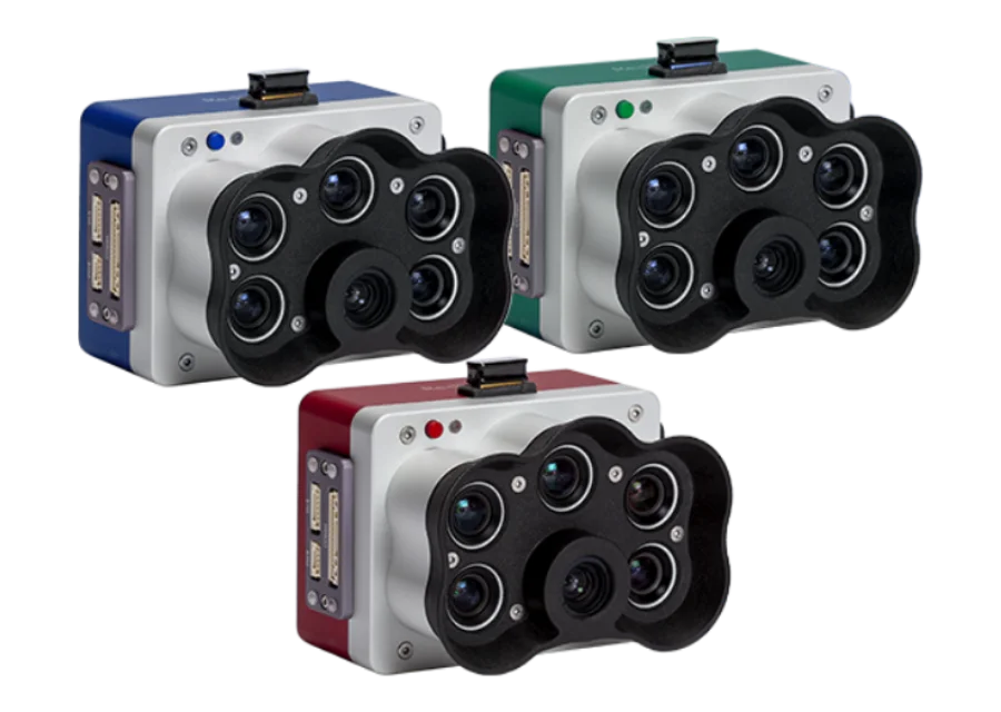
High-resolution multispectral sensor with a panchromatic channel: up to 2 cm/px pan-sharpened resolution from 60 m altitude, five narrow bands with scientific filters, global shutter. NDAA-compliant.
Price on request
Configuration tailored to your needs
Official manufacturer warranty · Training · Service in Lithuania
About the product

Description

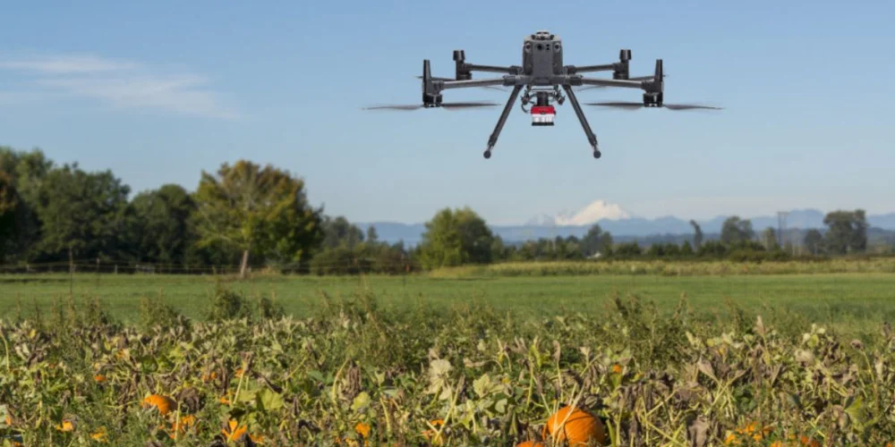
RedEdge-P is a high-resolution multispectral and RGB sensor from MicaSense (EagleNXT). Its panchromatic channel enables higher-resolution RGB and multispectral outputs (2 cm/px when flying at 60 m), and five narrow bands with scientific filters are suitable for calculating many vegetation indices and composites. The manufacturer highlights data quality and repeatability as well as compatibility with a wide range of drones and processing software.
01

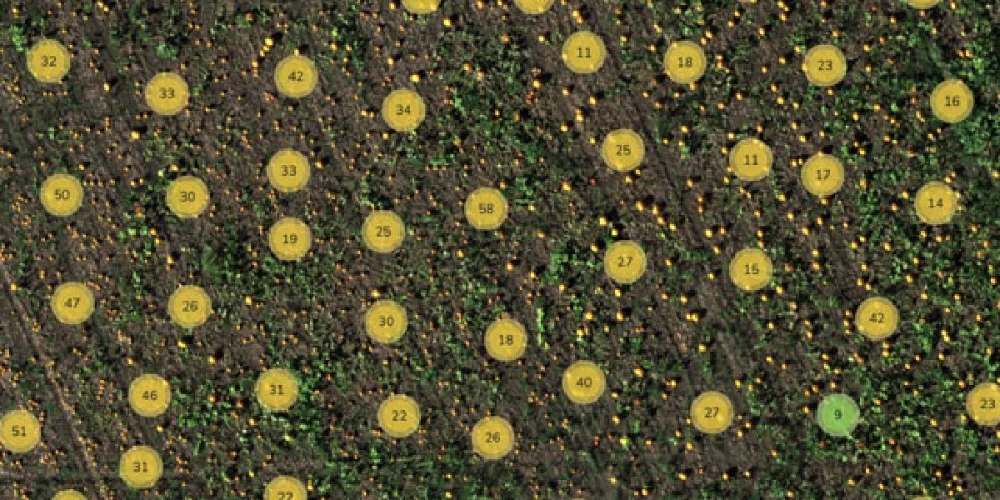
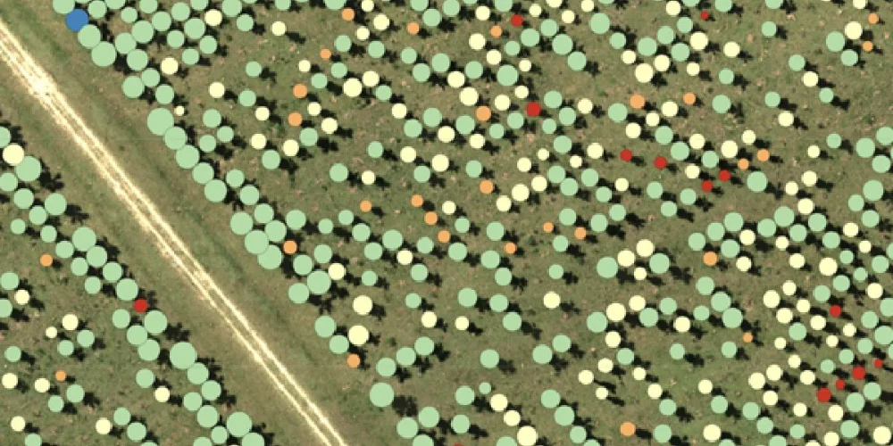
Plant counting from an early growth stage

Plant counting algorithms require high-resolution imagery. RedEdge-P combines a panchromatic lens with five high-resolution multispectral lenses, delivering both high-resolution RGB and multispectral outputs and making it possible to count plants even at an early growth stage.
MicaSense RedEdge-P
MicaSense RedEdge-P
02

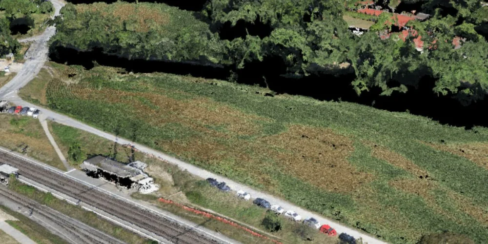
High-resolution 3D point clouds

The manufacturer lists high-resolution 3D point clouds as one of the applications: synchronised high-resolution RGB and multispectral capture reveals finer details and helps spot problems earlier.
03

Calibrated data and AI capabilities

Every RedEdge-P kit includes a ground calibration panel and a DLS 2 light sensor for measuring irradiance and sun angle. These tools account for changing weather and light conditions, making the data suitable for time-series analysis and comparison over time.
MicaSense RedEdge-P
Applications according to the manufacturer: plant counting, phenotyping, plant health mapping, fertiliser management, disease detection, species differentiation, advanced crop assessment and high-resolution 3D point clouds. For thermal analysis there is the Altum-PT. More about applications – Mapping.
Specifications
Type
Multispectral sensor with panchromatic channel
Resolution @60 m altitude
2 cm/px (0.78 in/px) pan-sharpened
Multispectral resolution
1.6 MP per band
RedEdge-P bands
Blue 475(32), green 560(27), red 668(14), Red Edge 717(12), near-IR 842(57) – centre nm (width nm)
RedEdge-P Green bands
Cyan 502(18), green 550(12), yellow 570(14), red 678(14), near-IR 754(10)
RedEdge-P Blue bands
Coastal blue 444(28), green 531(14), red 650(16), Red Edge 705(10), Red Edge 740(18)
Shutter
Global
Kit (RedEdge-P Multispectral Kit)
RedEdge-P camera, DLS 2 light sensor with GPS, CRP2 calibration panel, USB Wi-Fi dongle, lens cap, connection cables, mounting hardware, CFexpress card and reader, hard transport case, quick start guide
Expansion kits
RedEdge-P Green Dual, RedEdge-P Blue Dual and RedEdge-P Triple (additional cameras added to the RedEdge-P)
Compliance
NDAA
Documents and specifications
Documents are provided from official manufacturer sources and open in a new window.
Why Dronas.lt
Warranty terms are stated for each product.

Training included

We will help you get ready to work with the equipment.
Warranty service and repairs at the GeoNovus service centre in Vilnius.
Test the equipment before you decide.
Enquiry

Get a quote

Write to us — we will get in touch, confirm the configuration and send a commercial offer. No advance payment required.
MicaSense rep
Product
MicaSense RedEdge-P
What happens next
1
We will contact you within 1 business day
2
We will discuss and confirm the configuration
3
We will send a commercial offer
Related products

You may also like

MicaSense altum
MicaSense
Three in one: 12.4 MP panchromatic sensor, five-band multispectral sensor and integrated FLIR Boson 320 × 256 thermal camera. Global shutter, up to 2 frames/s, NDAA-compliant.
Price on request
DJI Zenmuse L3
DJI Enterprise
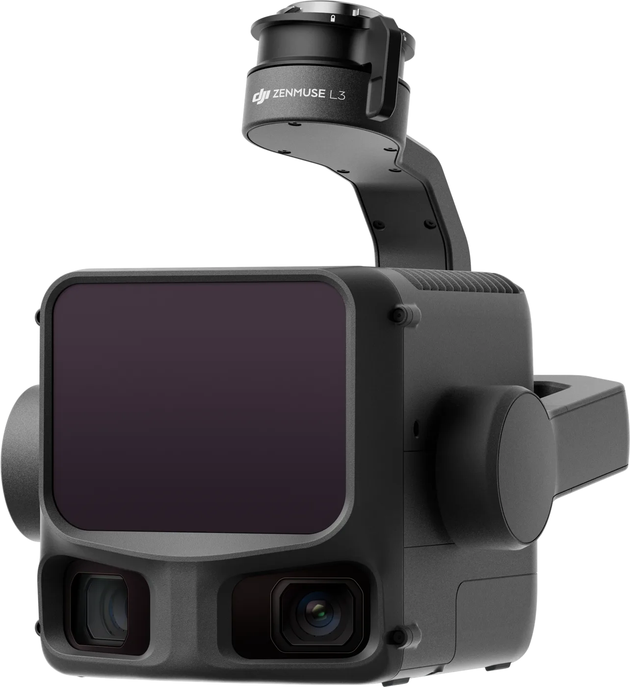
Top-class LiDAR with a 100 MP mapping camera for the Matrice 400: 1535 nm laser, up to 2,000 m range and centimetre accuracy for large areas.
€16,370 incl. VAT
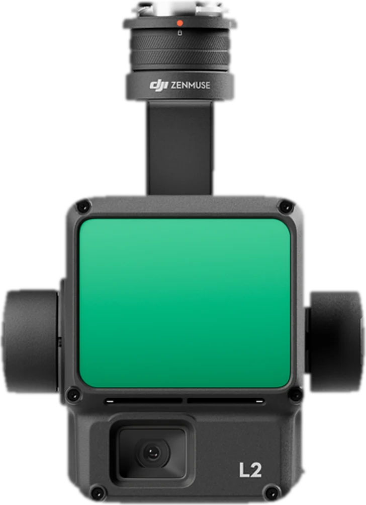
DJI Zenmuse L2
DJI Enterprise
Integrated LiDAR, 4/3 CMOS RGB camera and high-accuracy IMU for Matrice 350 RTK / 300 RTK: up to 5 returns, up to 1.2 million points per second and 4 cm vertical accuracy.
€13,000 incl. VAT
Scroll to Top