- Home
- Products
Product catalogue
Nothing found matching these criteria
Try another word or clear the filters. The catalogue is constantly growing – if you are looking for specific equipment, we will select it for your task.
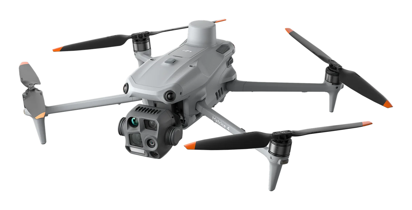
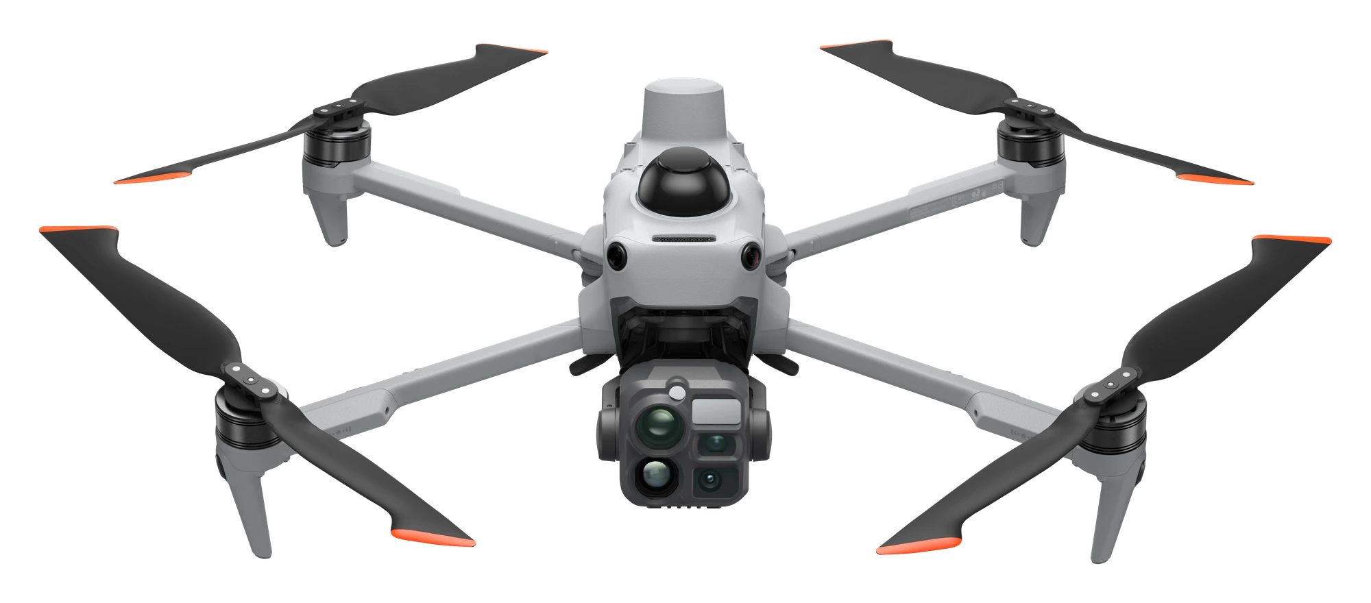
Get a quote →DJI Matrice 4T
Thermal platform for search and rescue, energy, building and solar plant inspections.
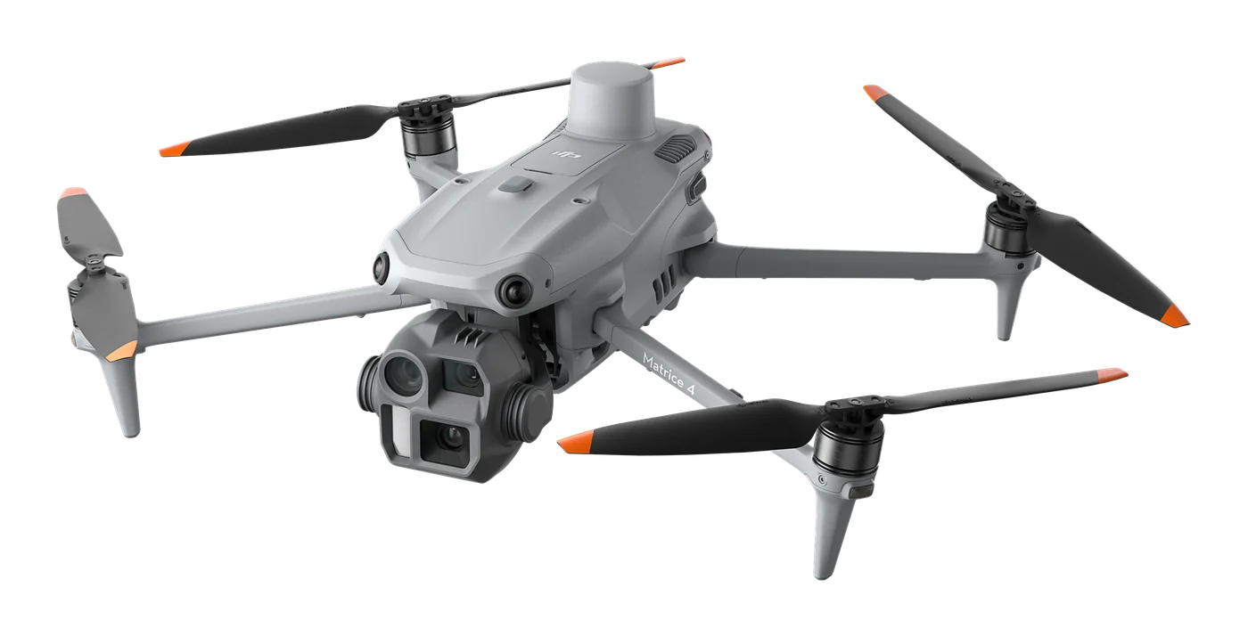
DJI Matrice 4E
Photogrammetry and mapping platform with RTK and 5-direction oblique capture.
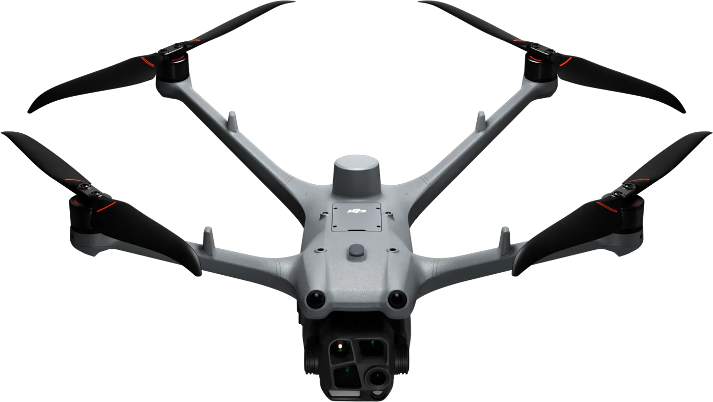
DJI Matrice 4D series
Compact IP55 drone for autonomous missions with DJI Dock 3: up to 54 min flight time and full-colour night vision.
DJI Matrice 400
Long-endurance platform with 6 kg payload capacity and wire-level obstacle detection.
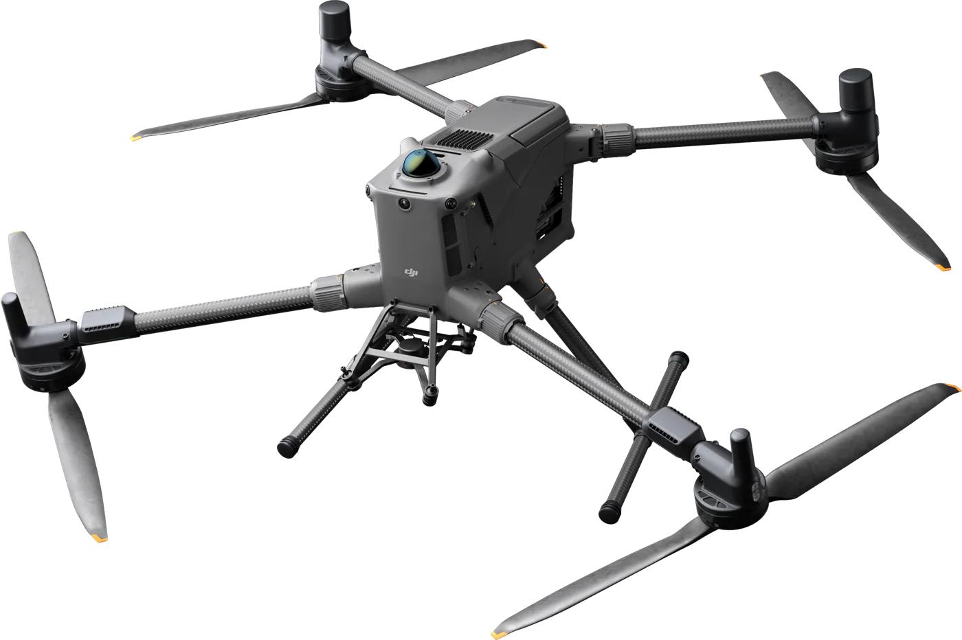
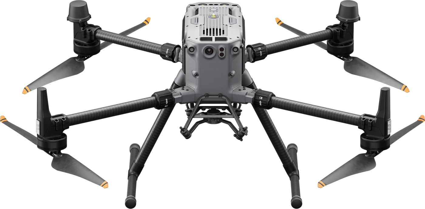
DJI Matrice 350 RTK
Reliable enterprise workhorse: up to 55 min flight time, IP55, up to 2.7 kg payload and a full range of sensors.
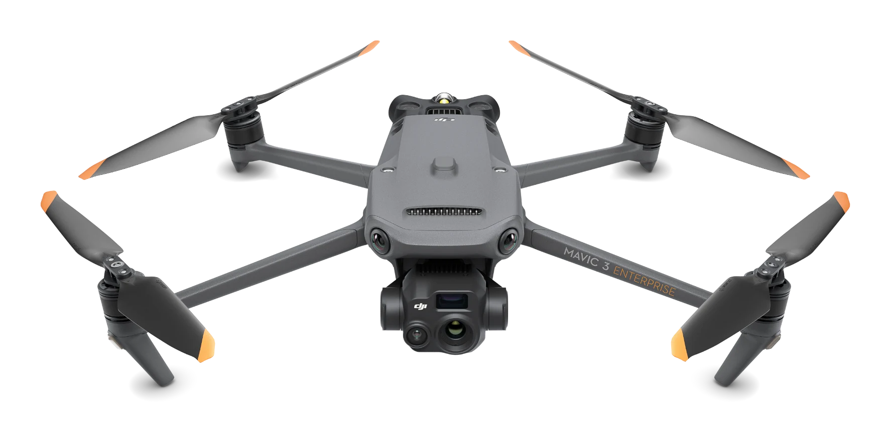
DJI Mavic 3 Thermal
Compact thermal drone: 640×512 thermal imaging, 56× hybrid zoom and up to 45 min flight time for rescue, energy and inspections.
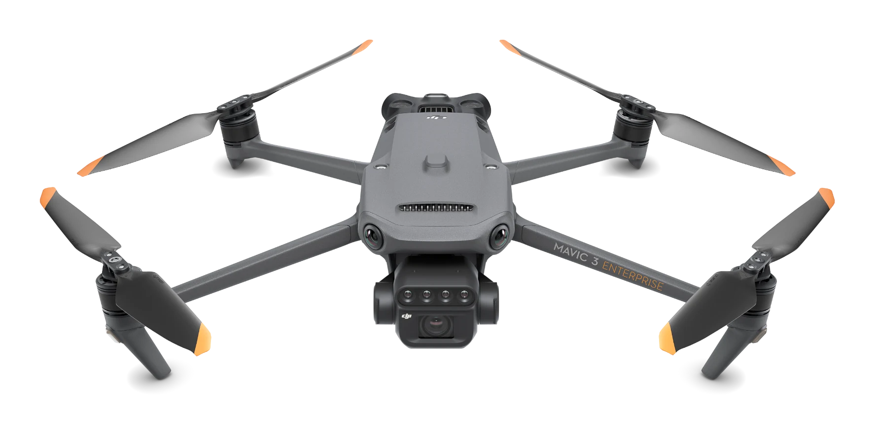
DJI Mavic 3 Multispectral
Precision agriculture drone with a 4-band multispectral camera, sunlight sensor and RTK; up to 43 min flight time.
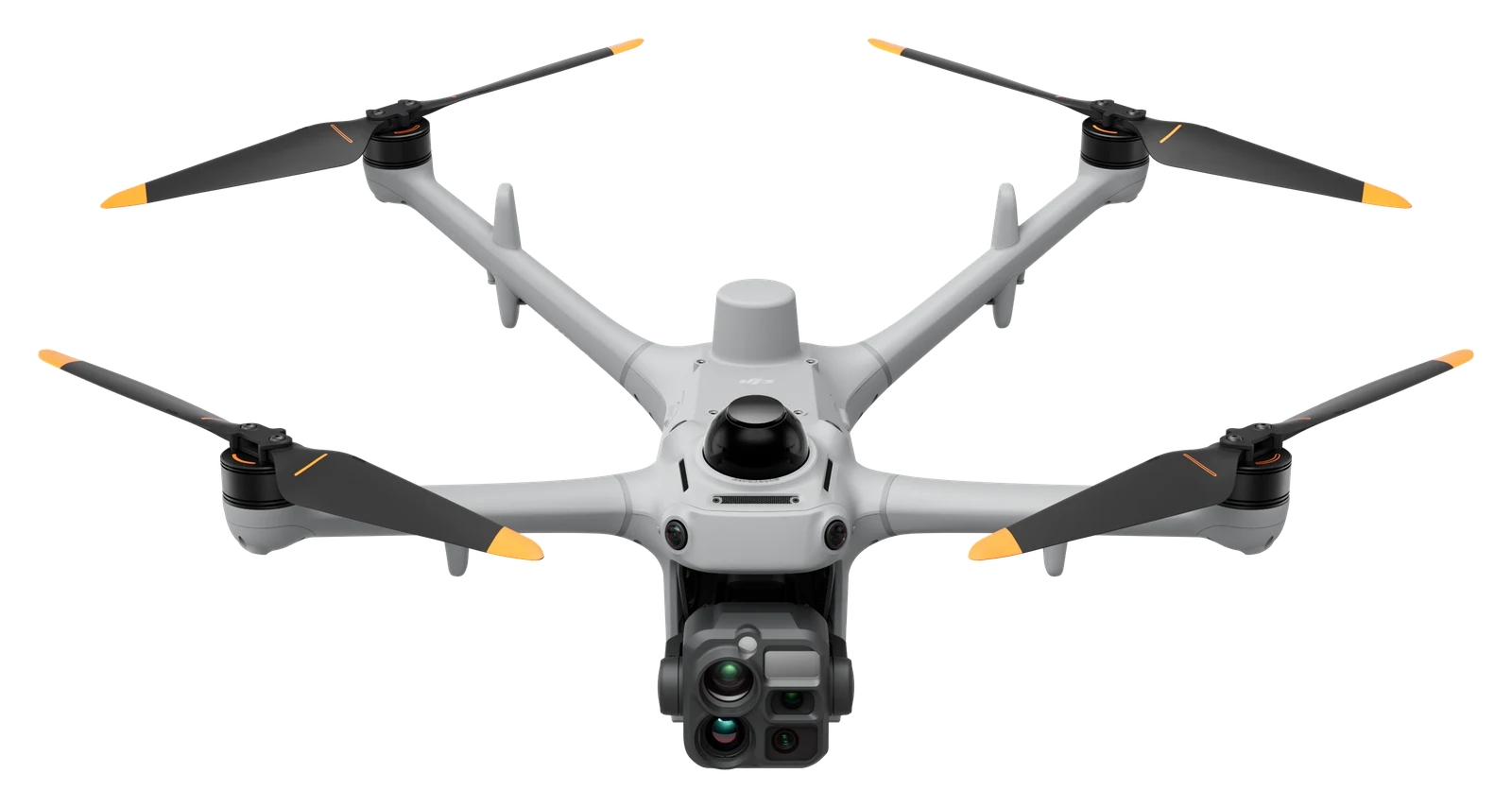
DJI Matrice 5T
Foldable enterprise drone for day and night missions: 1280 × 1024 thermal camera, three 50 MP cameras, laser rangefinder up to 3,000 m and up to 59 min flight time.
DJI Matrice 5TD
Dock drone: three 50 MP cameras, 1280 × 1024 thermal camera, laser rangefinder up to 3,000 m and up to 59 min flight time.
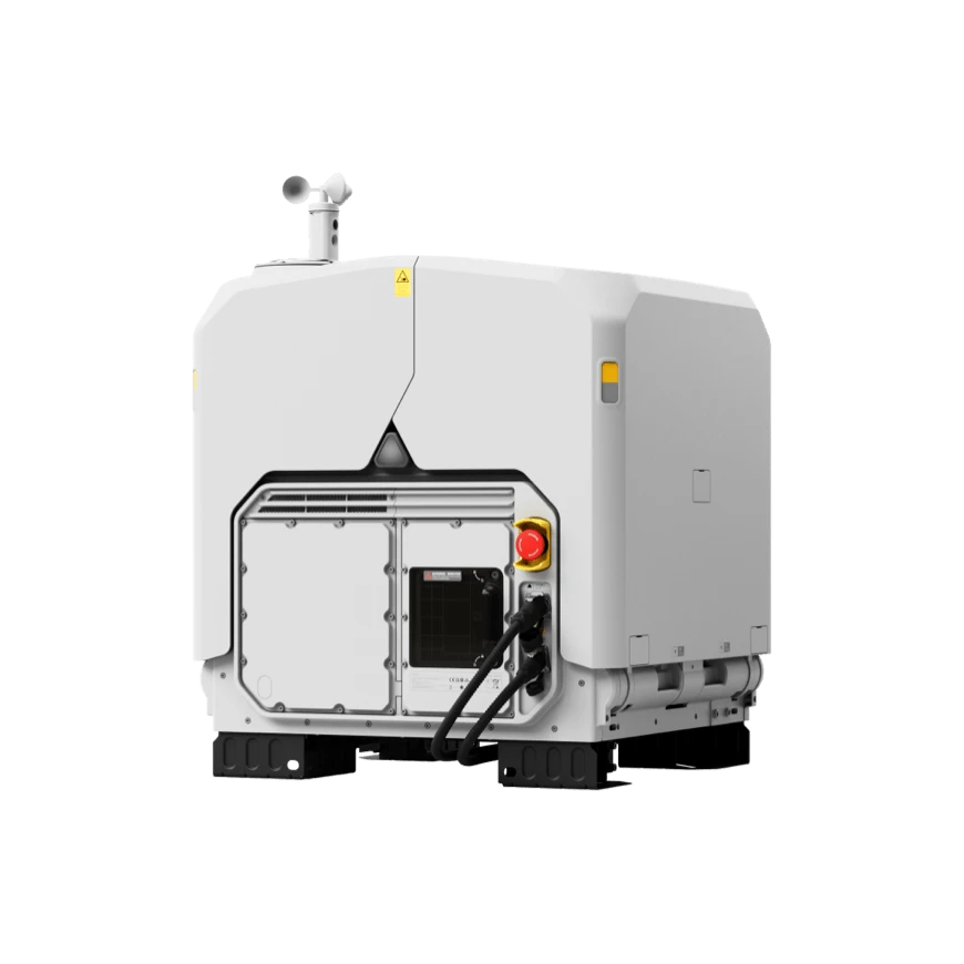
DJI Dock 3
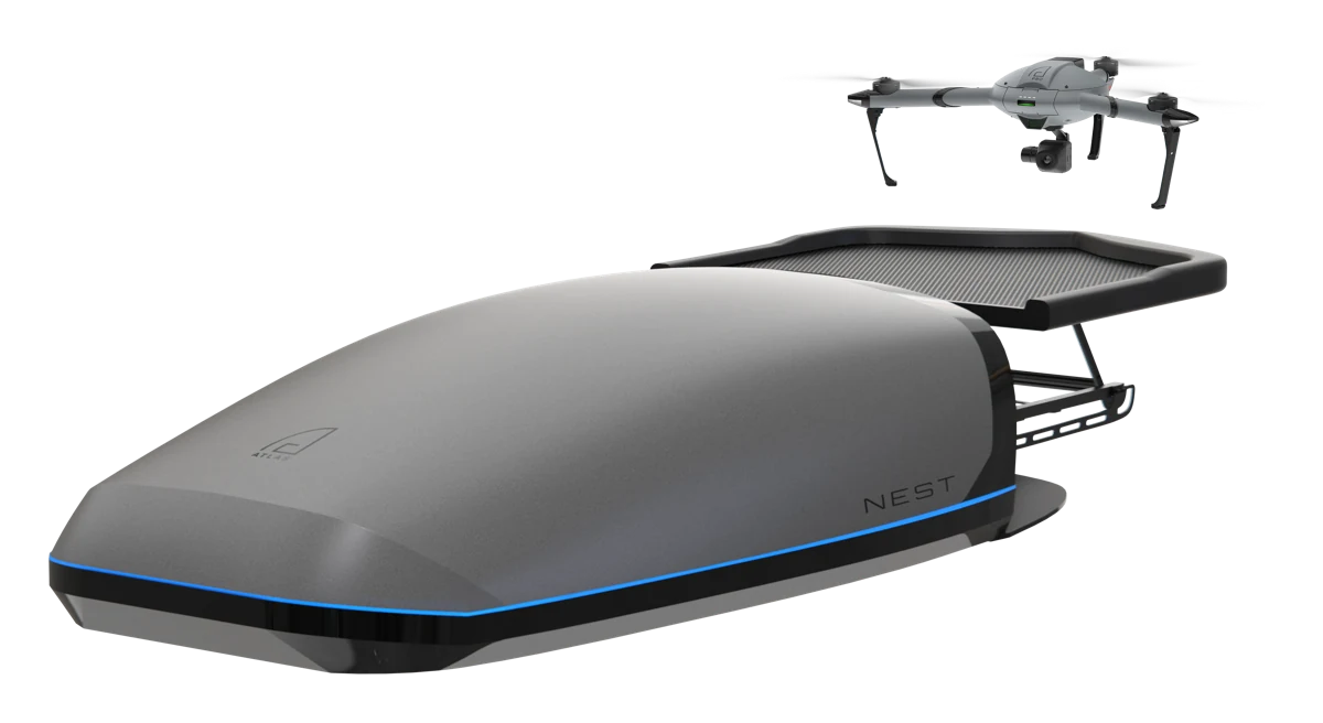
Drone-in-a-box station with Matrice 4D: remote missions 24/7, IP56, vehicle mounting.
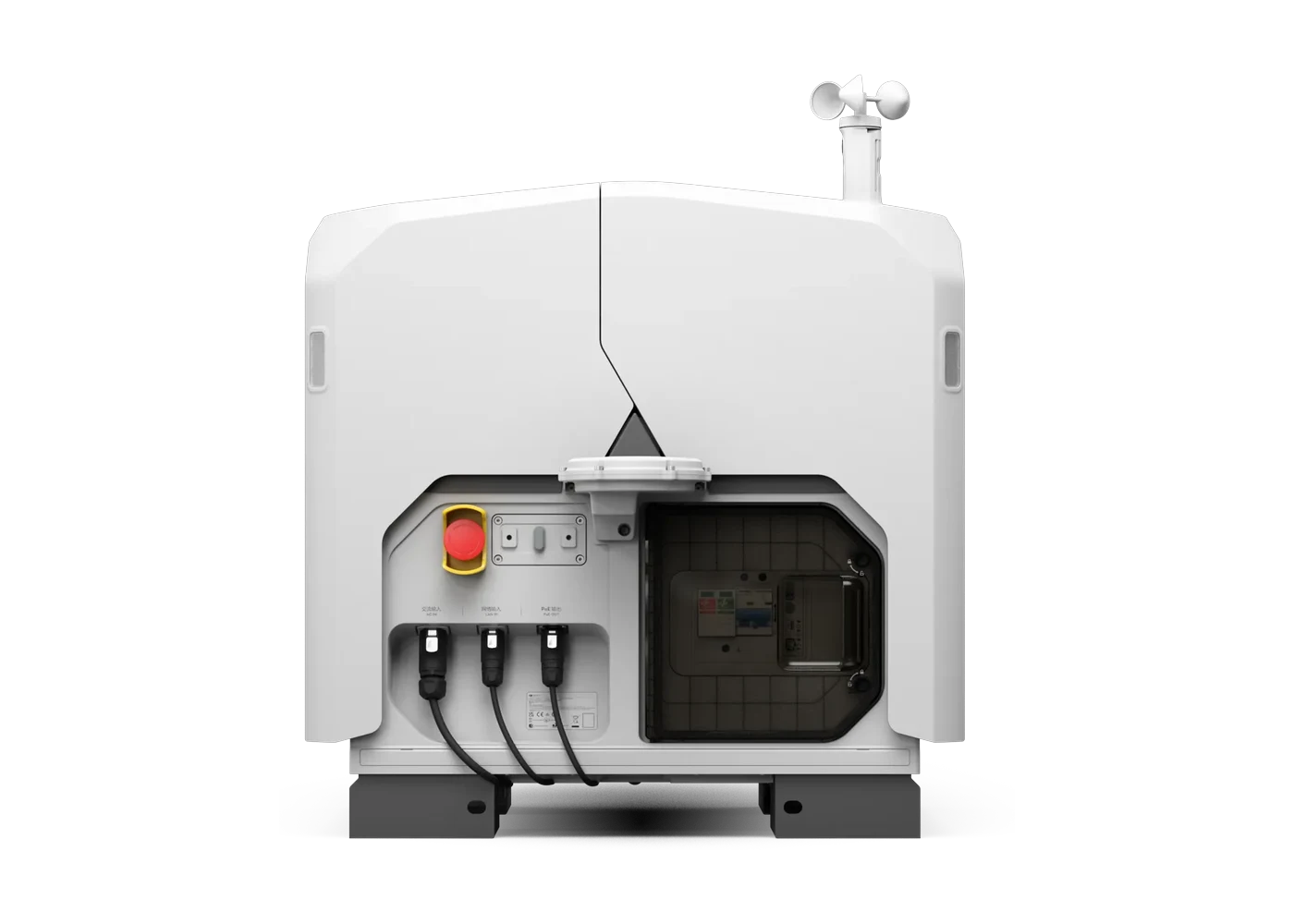
DJI Dock 4
The first DJI dock with automatic battery swap in 25 s and the Matrice 5TD drone: remote missions 24/7.
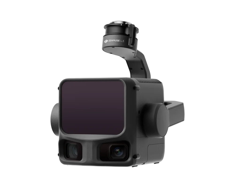
DJI Zenmuse L3
LiDAR with a 100 MP mapping camera for the Matrice 400: up to 2,000 m range and centimetre accuracy.
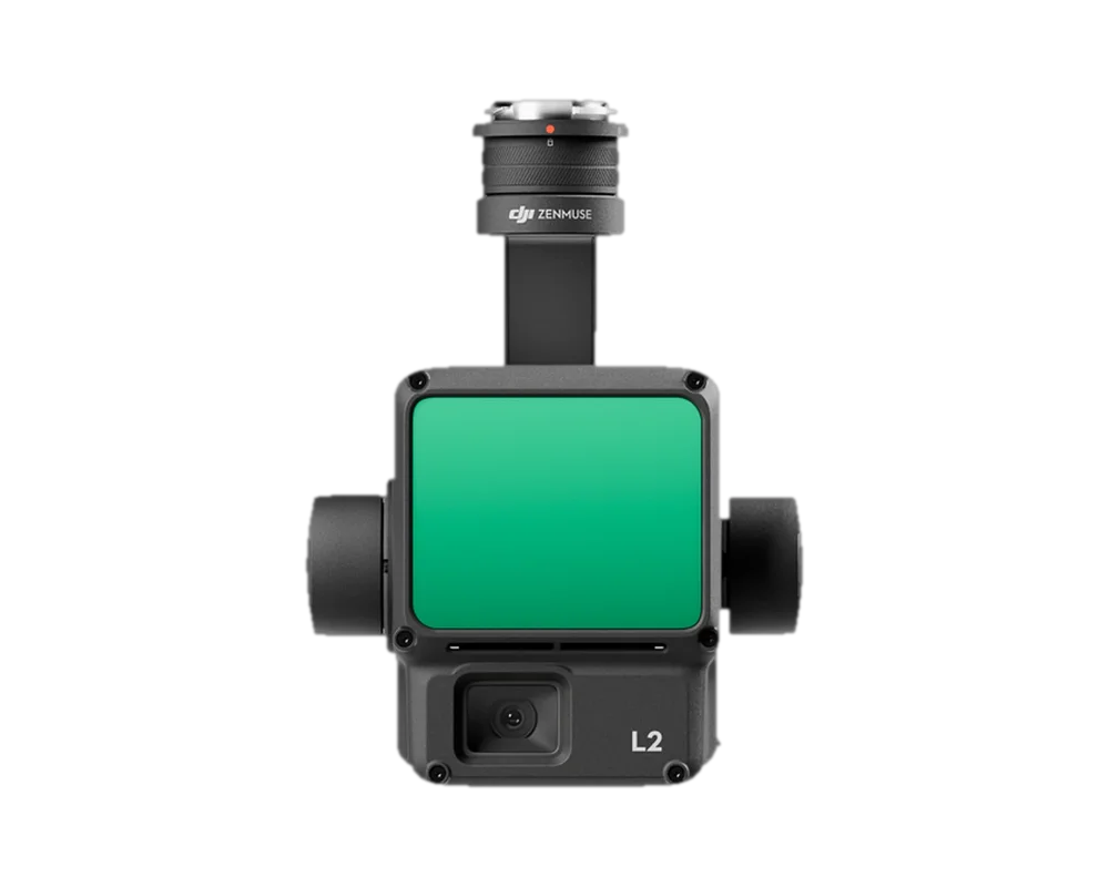
DJI Zenmuse L2
LiDAR, RGB camera and IMU in one sensor: up to 5 returns and 4 cm vertical accuracy.
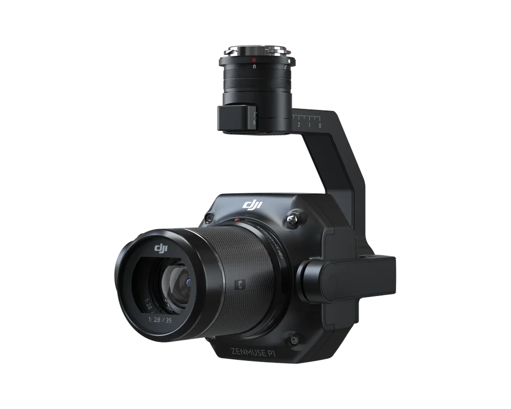
DJI Zenmuse P1
Full-frame 45 MP aerial photogrammetry camera: 3 cm accuracy without ground control points, interchangeable lenses.
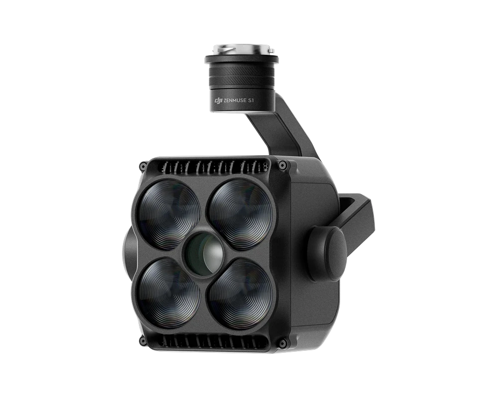
DJI Zenmuse S1
Spotlight for night operations: up to 500 m illumination range, two beams (15° and 4°), for rescue and public safety.
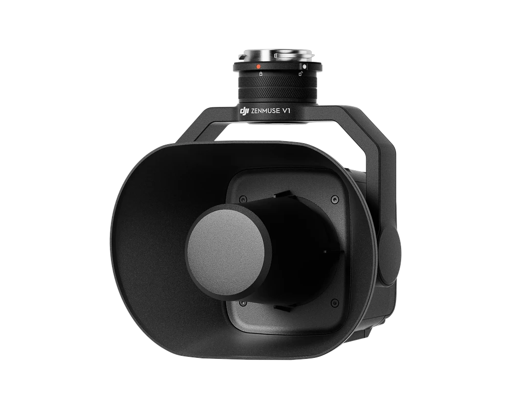
DJI Zenmuse V1
Speaker for warnings and evacuation: up to 127 dB @ 1 m, effective range up to 500 m, text-to-speech.
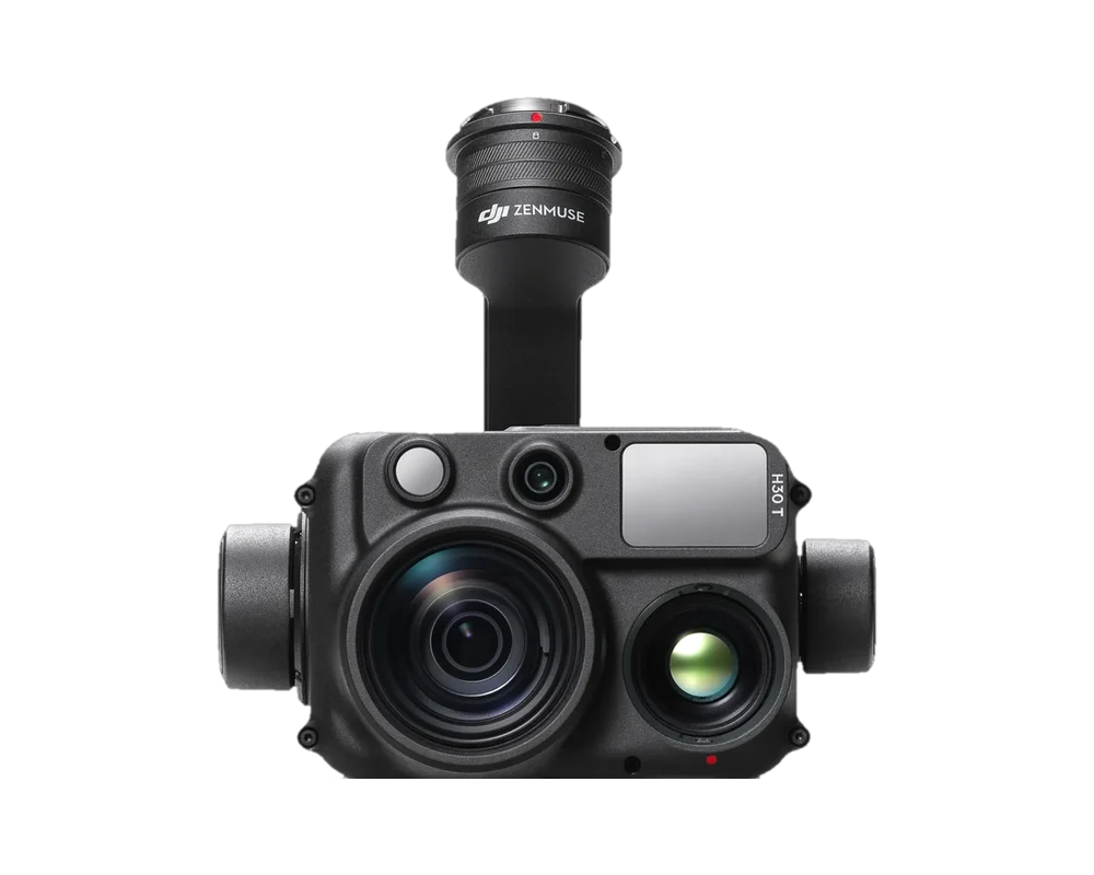
DJI Zenmuse H30 series
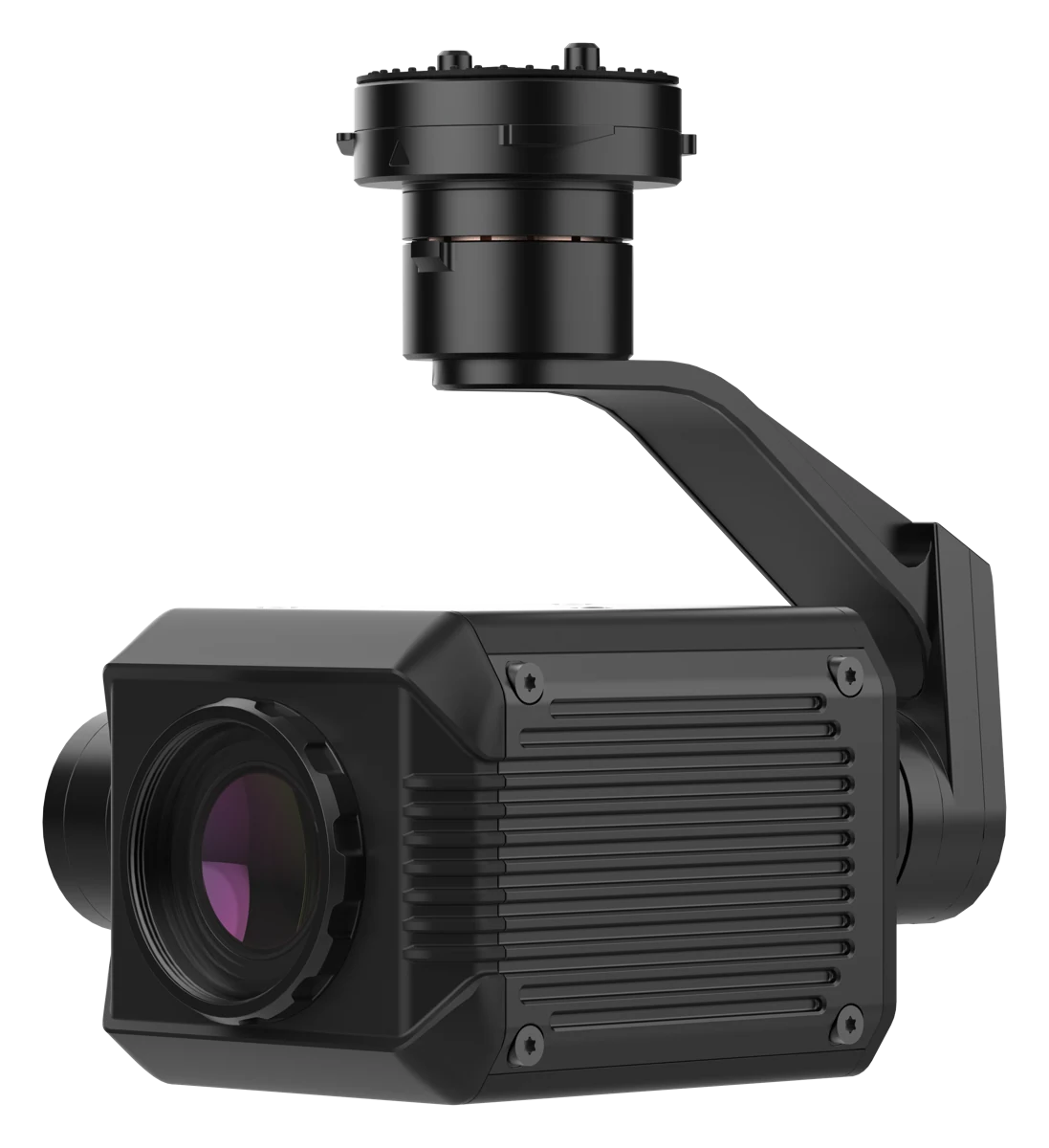
Multi-sensor H30T/H30: 400× zoom, 3 km rangefinder, night vision, H30T – thermal imaging.
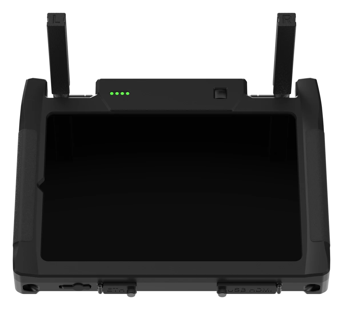
AtlasSTATION and STATION PRO
Ground control stations for the AtlasPRO system: 11″ screen, up to 10 km link, heating.
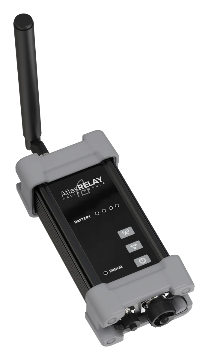
AtlasRELAY
Communication relay for BVLOS flights: up to 10 km LOS, 1 W, WPA3.
AtlasTETHER
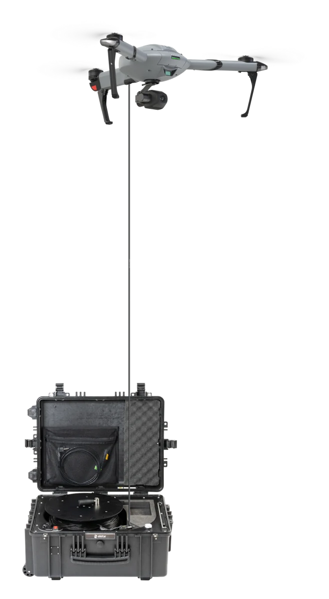
Tether system: ground power and a 100 Mbit/s data link up to 70 m.
AtlasROVER
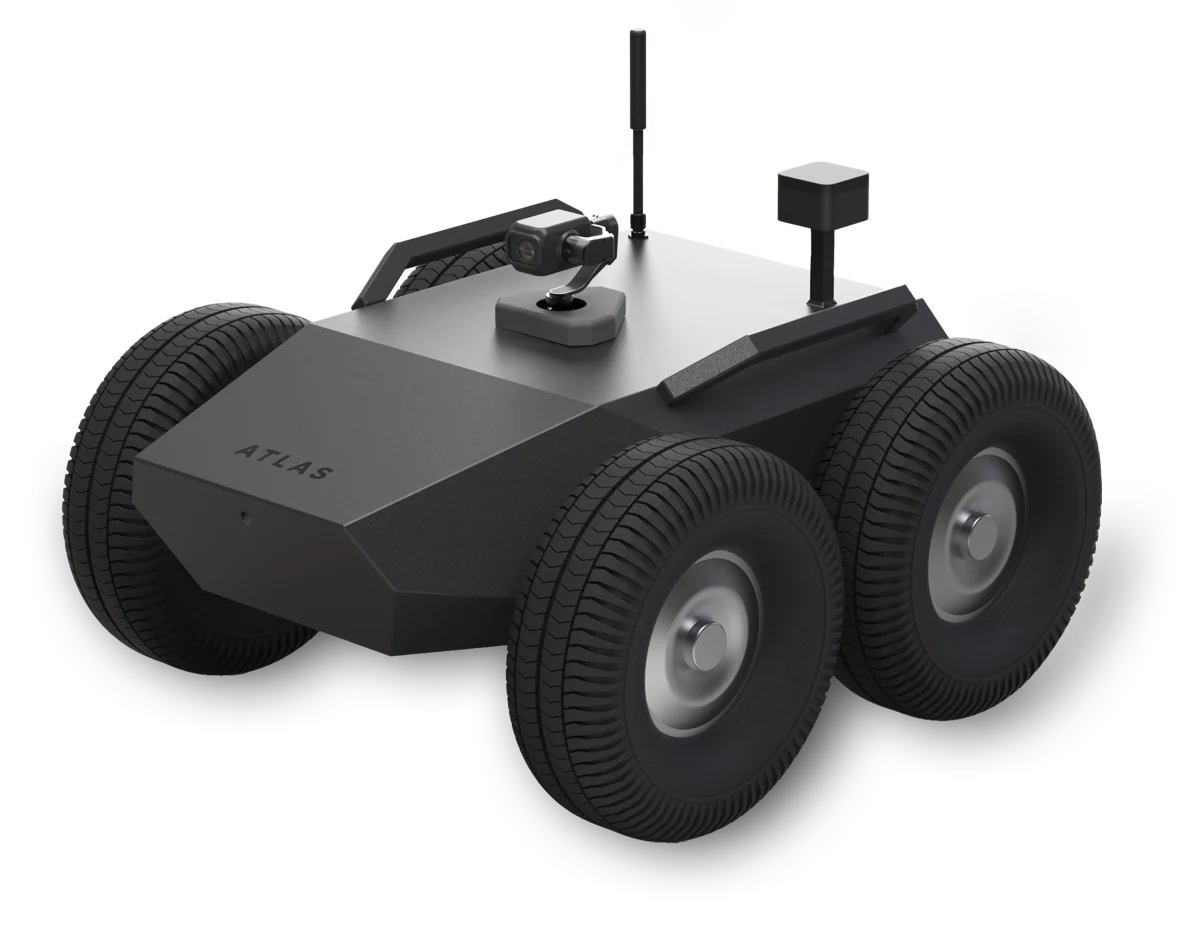
Unmanned ground platform: up to 110 kg payload, 45 km range on battery.
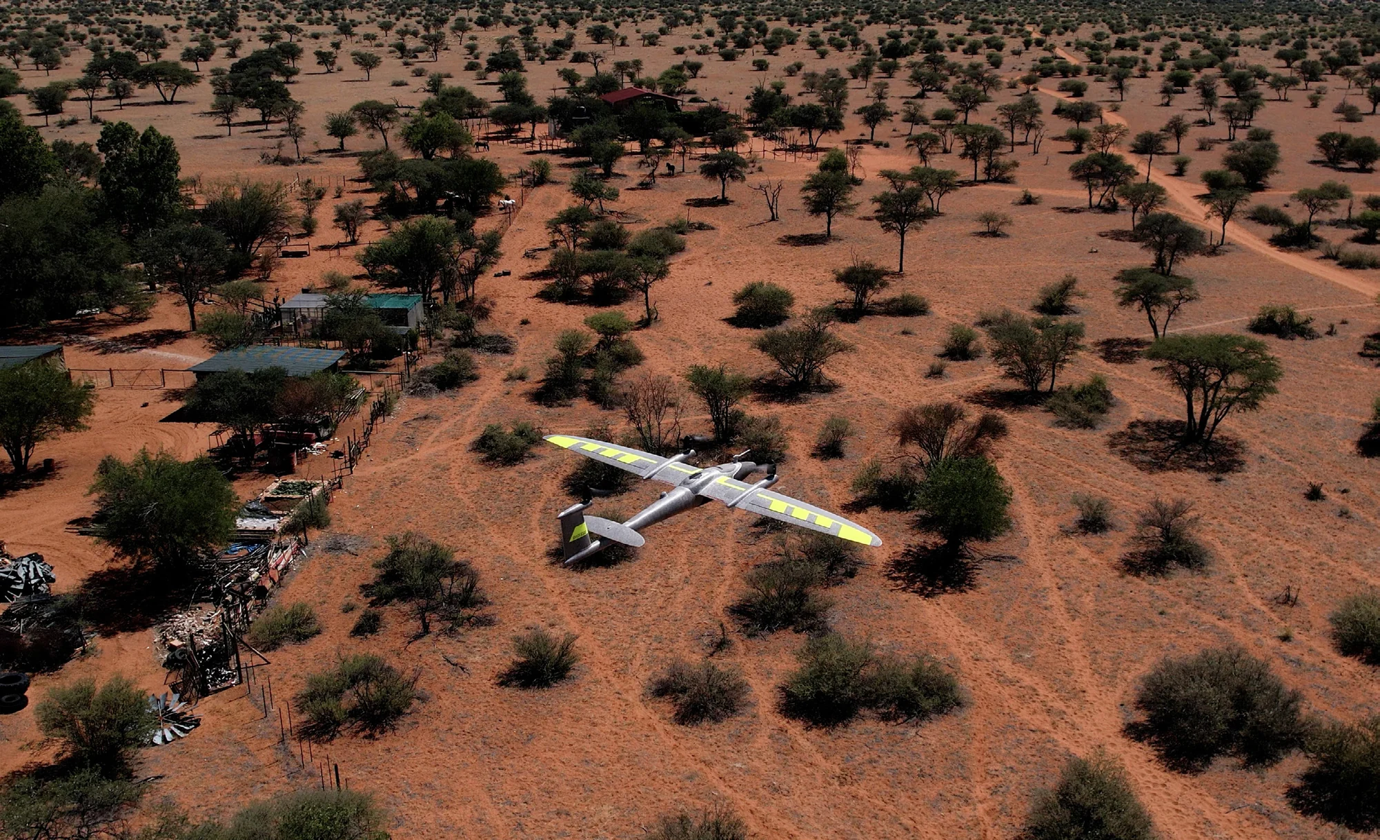
Trinity Pro
Fixed-wing eVTOL platform for large-area mapping: up to 90 min flight time, up to 700 ha per flight, interchangeable sensors.
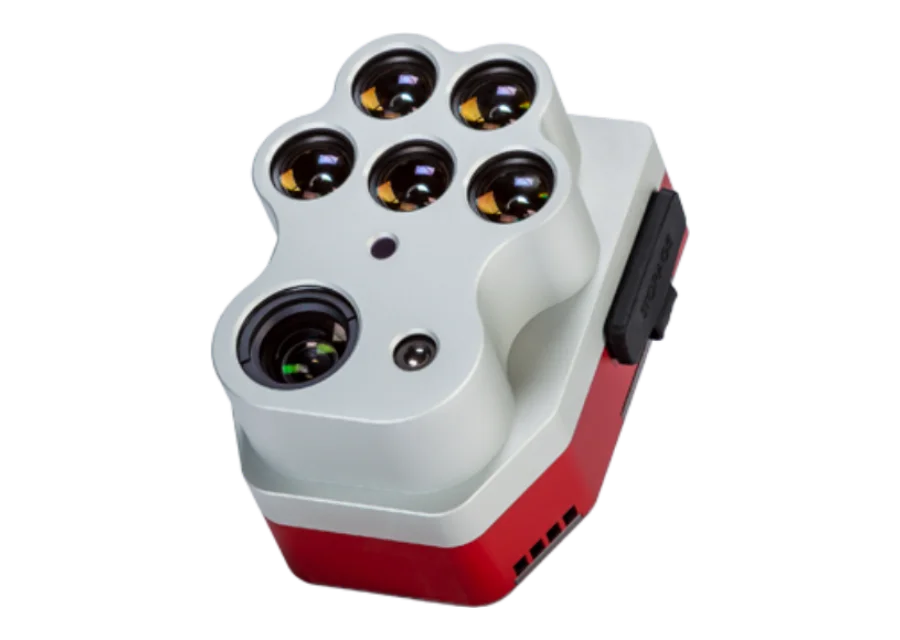
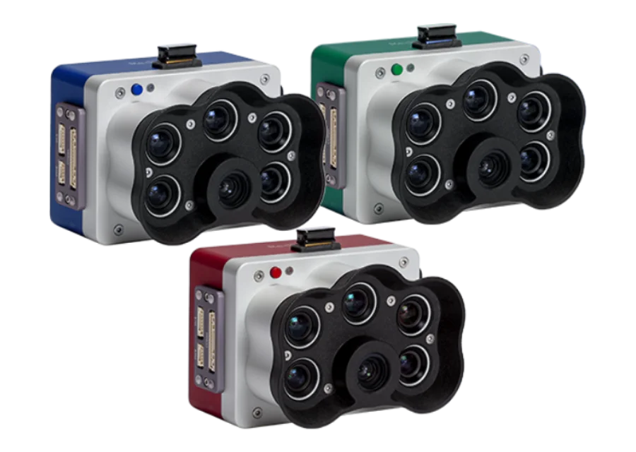
MicaSense Altum-PT
Three in one: 12.4 MP panchromatic, five-band multispectral and thermal sensor; up to 1.25 cm/px after pan-sharpening.
MicaSense RedEdge-P
High-resolution multispectral sensor with a panchromatic channel: up to 2 cm/px from 60 m, five narrow bands.
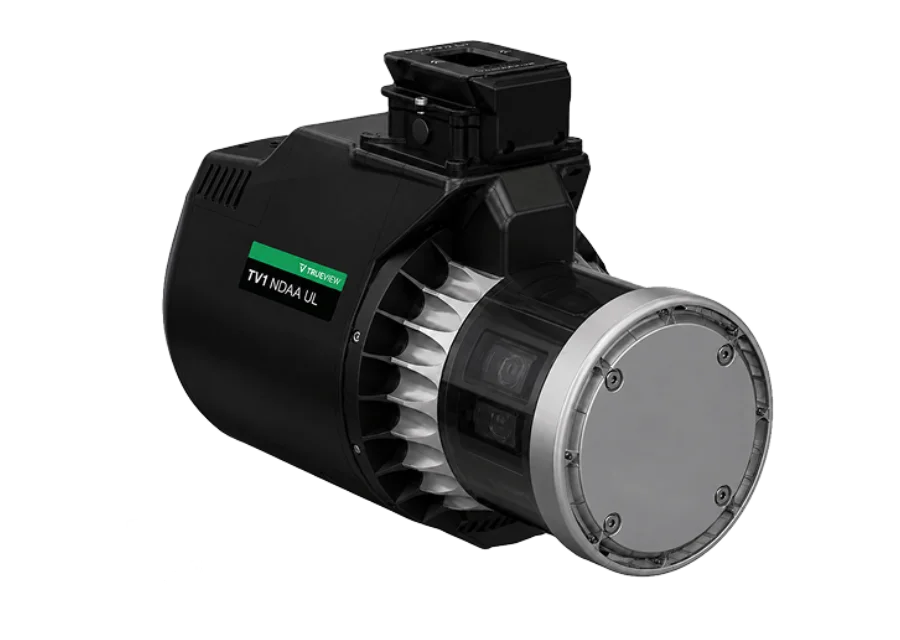
GeoCue TrueView 1 NDAA UL
Lightweight (1.4 kg) NDAA drone LiDAR with Ouster OS1 Max Rev8 and native point colourisation; 10.4 million points/s.
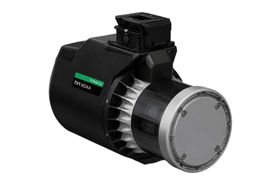
GeoCue TrueView 1 NDAA
NDAA drone LiDAR with integrated 26 MP camera: Ouster OS1 Max Rev8, 10.4 million points/s, 1.8 kg.
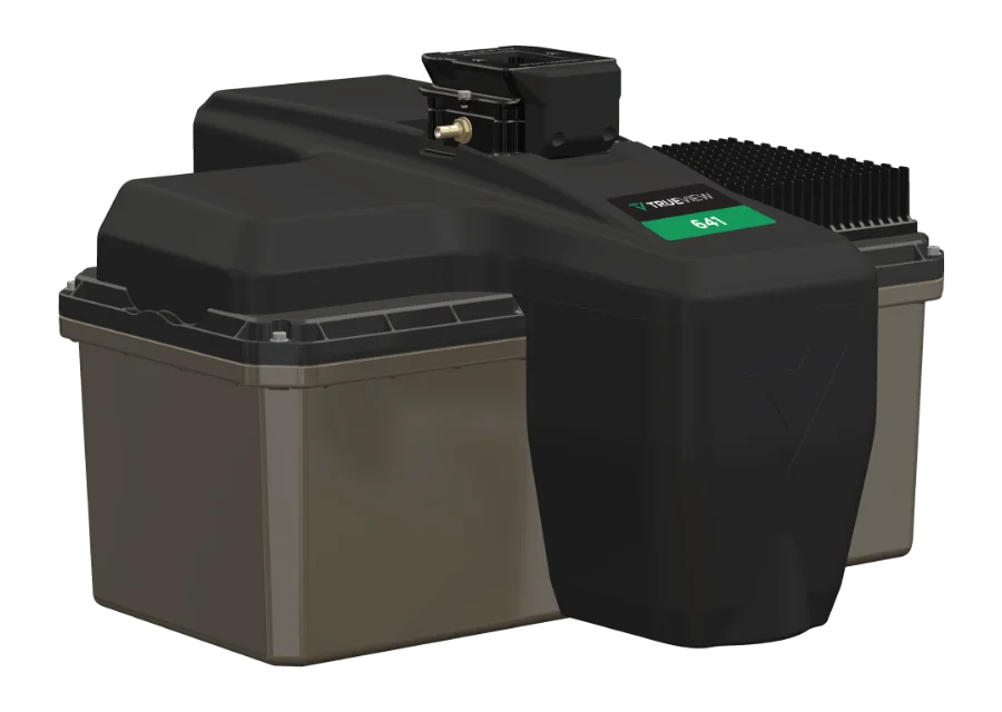
GeoCue TrueView 641
Survey-grade NDAA LiDAR: Triple-IN SLP-LW, up to 170 m, 26 MP camera, typical accuracy 3 cm RMSE.
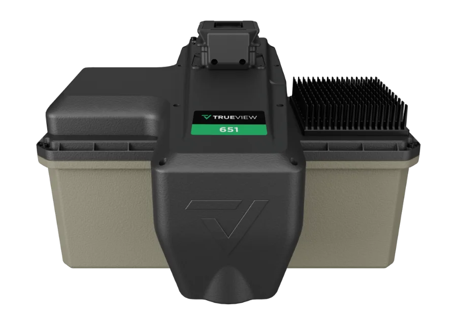
GeoCue TrueView 651
Survey-grade NDAA LiDAR with Applanix APX-20 and unlimited Trimble PP-RTX processing without a base station.
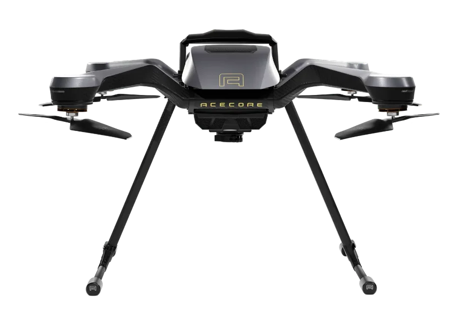
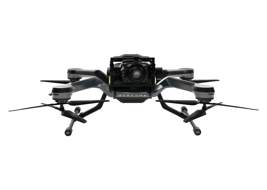
AceCore ZOE
Modular multirotor: up to 47 min flight, up to 5.6 kg payload (X8), multi-band RTK and interchangeable sensors.
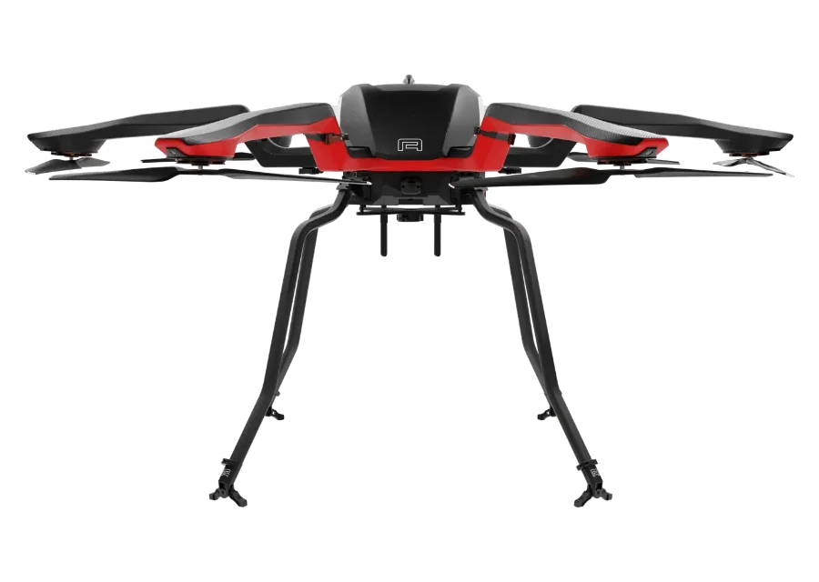
AceCore NOA
Heavy-lift hexacopter: up to 80 min flight, up to 19.8 kg payload, redundant propulsion.
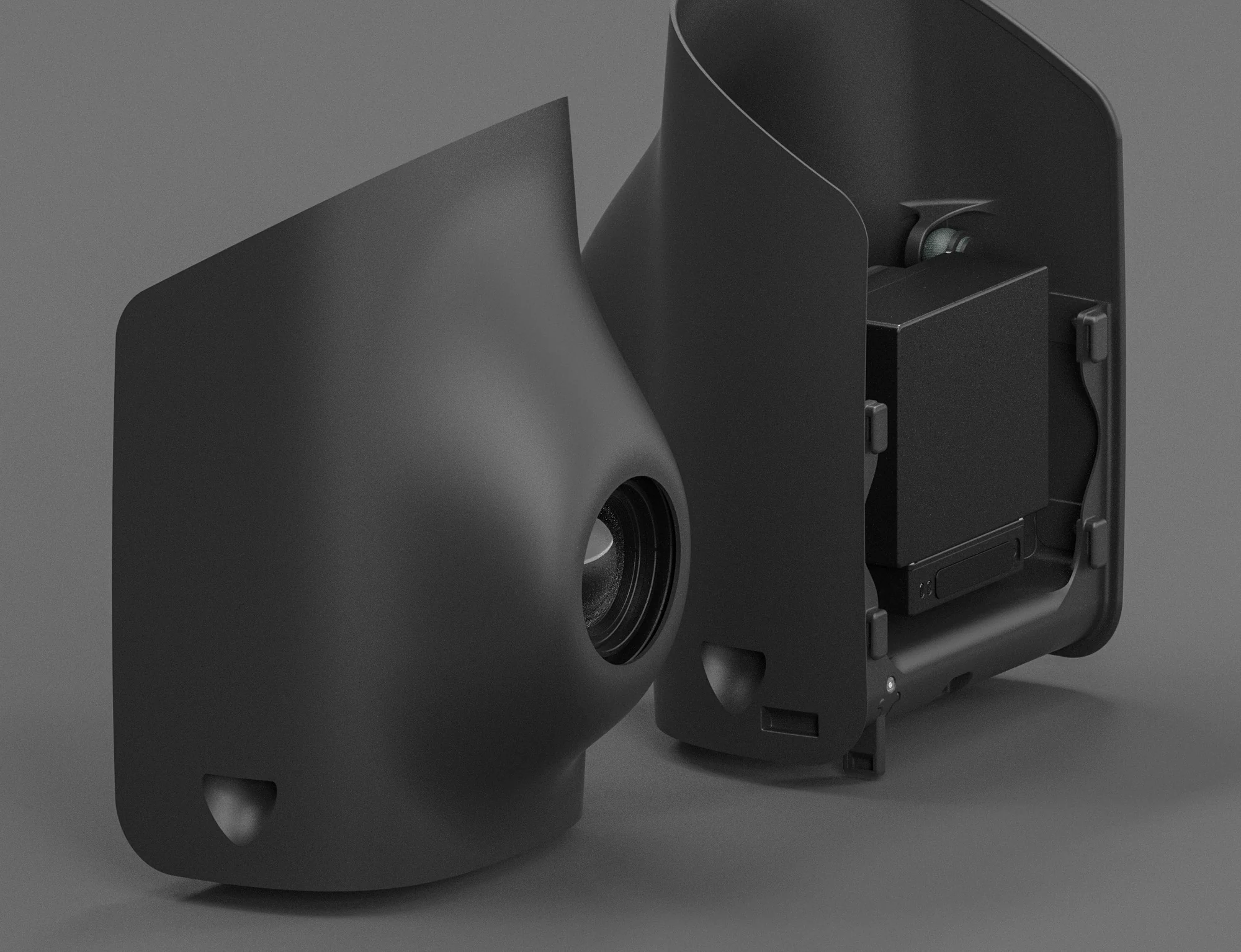
AceCore ZETONA
Inspection drone with a front-mounted 2-axis gimbal and 60 MP Sony ILX-LR1: up to 30 min, F9P RTK.
SENSYS MagDrone R3
Ultra-light drone magnetometer with two triaxial fluxgate sensors, 200 Hz, for drones with 1 kg payload or more.
SENSYS MagDrone R4
Five triaxial fluxgate sensors, 3–4 ha per hour: for detecting UXO, ammunition and underground structures.
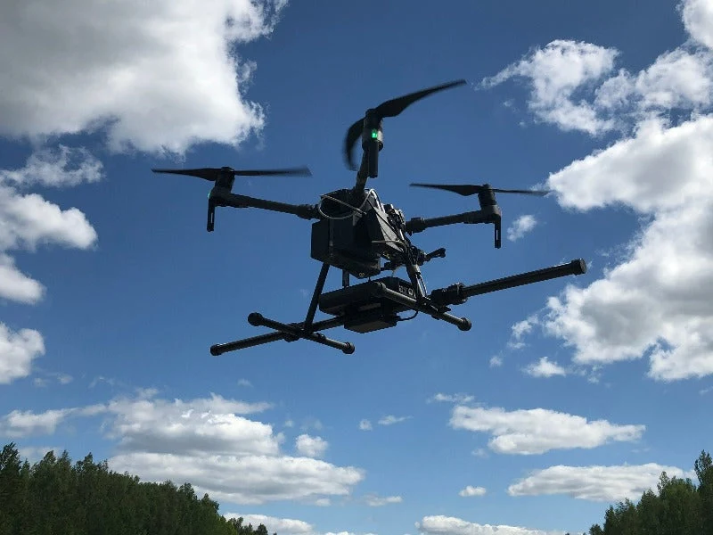
SENSYS MagBase
Reference station for removing magnetic noise, used together with MagDrone R3 and R4.
Phase One P5
128 MP medium-format RGB camera for the Trinity Pro: global shutter, 80 / 35 mm lenses, up to 0.5 cm RMS accuracy.
Sony ILX-LR1
61 MP full-frame RGB camera for the Trinity Pro: up to 491 ha per flight @120 m, 600 g ready to fly.
Qube 640 LiDAR
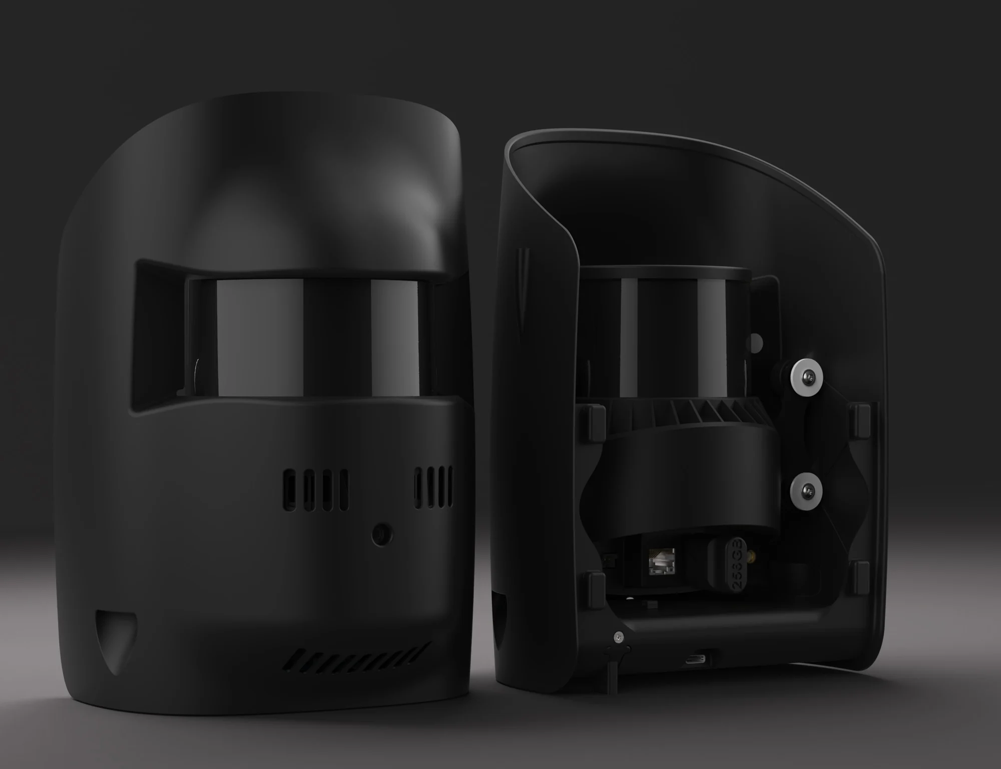
LiDAR with a 176° field of view, 640,000 shots/s and an 8 MP colourisation camera for the Trinity Pro.
Oblique D2M
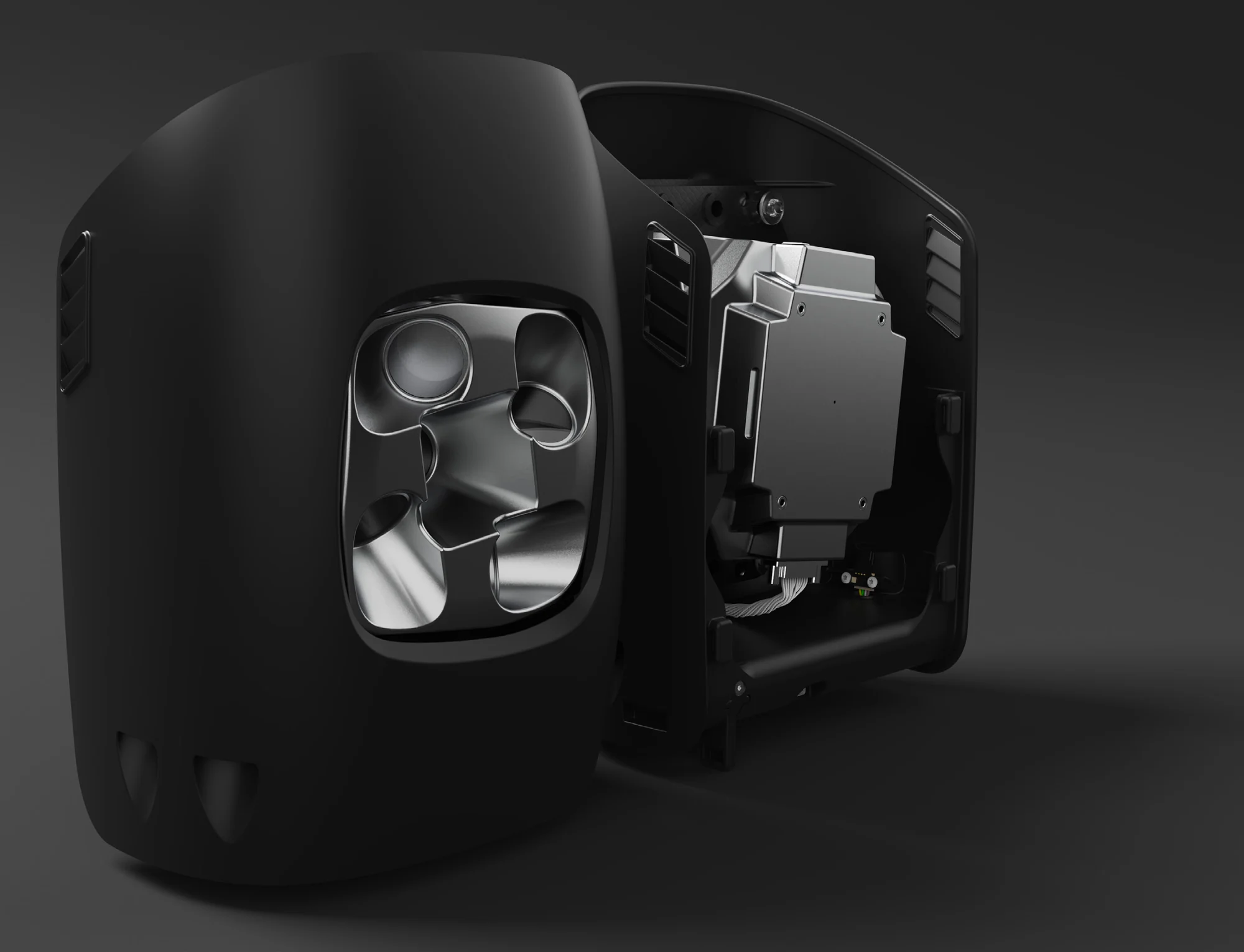
Five-lens (1 nadir + 4 oblique) 130 MP system for 3D photogrammetry on the Trinity Pro.
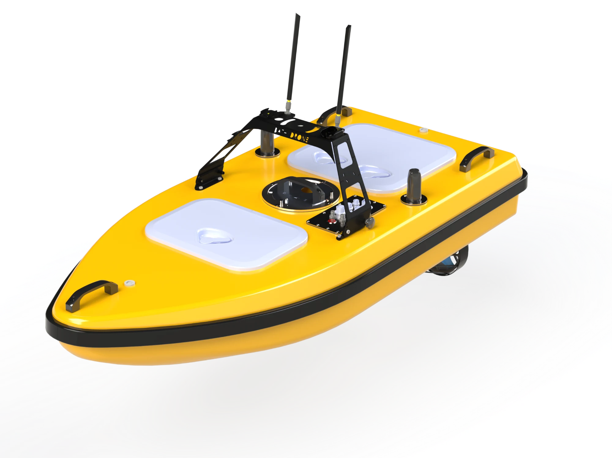
Bathydrone NEXO
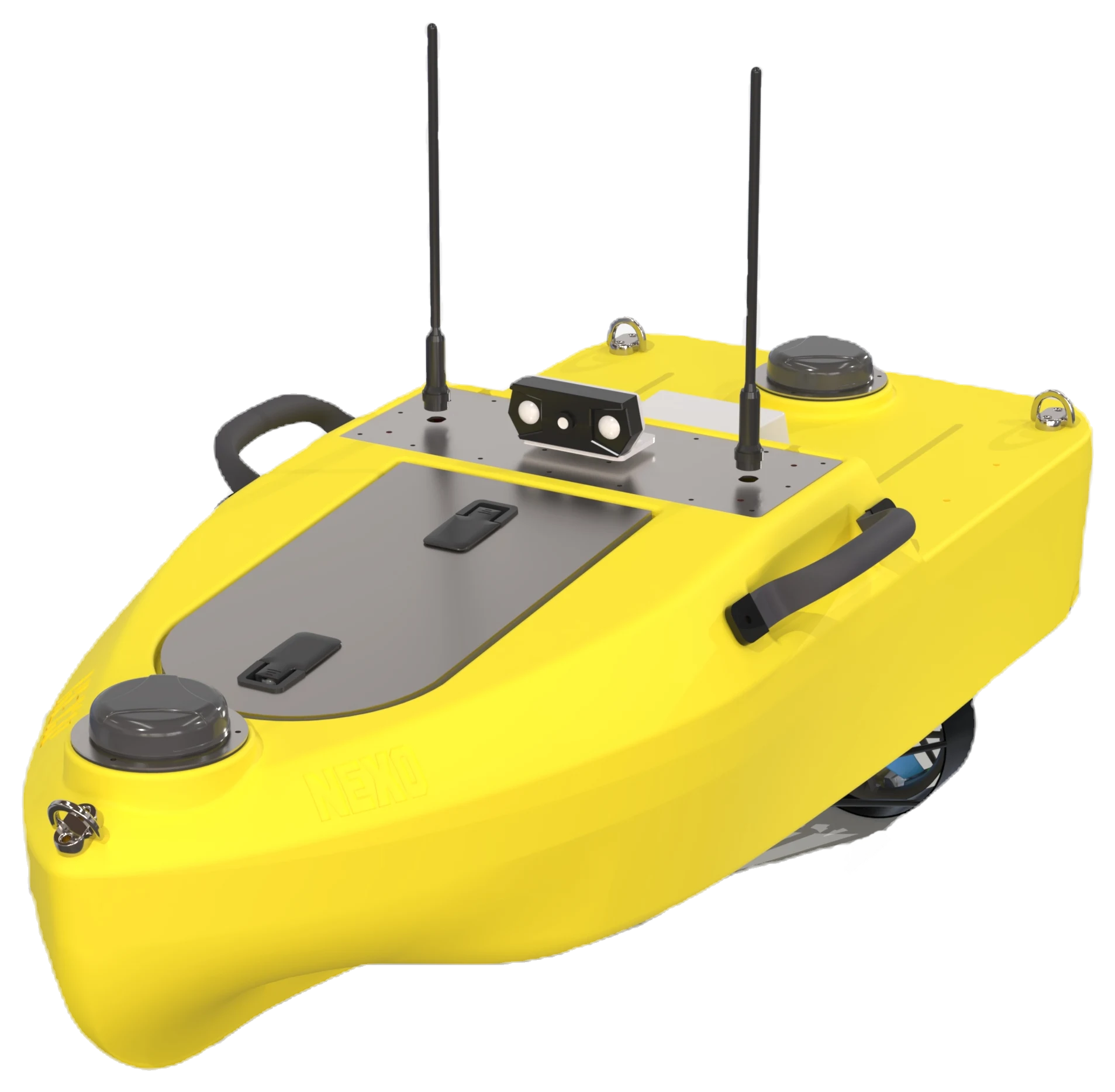
Compact surface drone for bathymetry: 20 kg, dual-antenna RTK, ready in 2 min, operates from 15 cm depth.
Bathydrone VASCO V2
Carbon fibre surface platform: up to 10 kg of equipment, multibeam echosounder, ADCP and side-scan sonar.
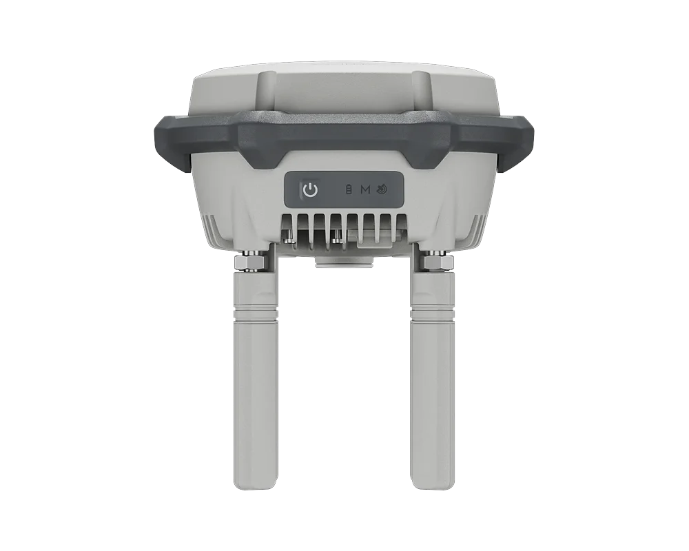
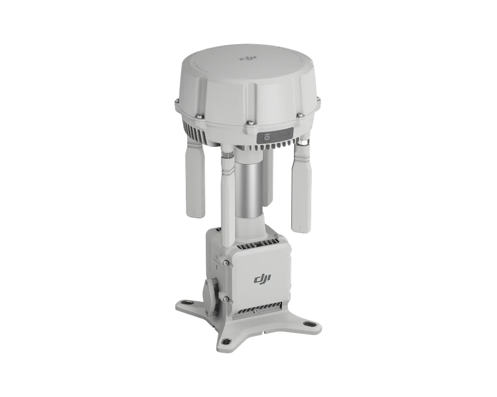
DJI D-RTK 3
Multi-function GNSS station: base station, relay and rover – 0.8 cm + 1 ppm RTK accuracy.
DJI Manifold 3
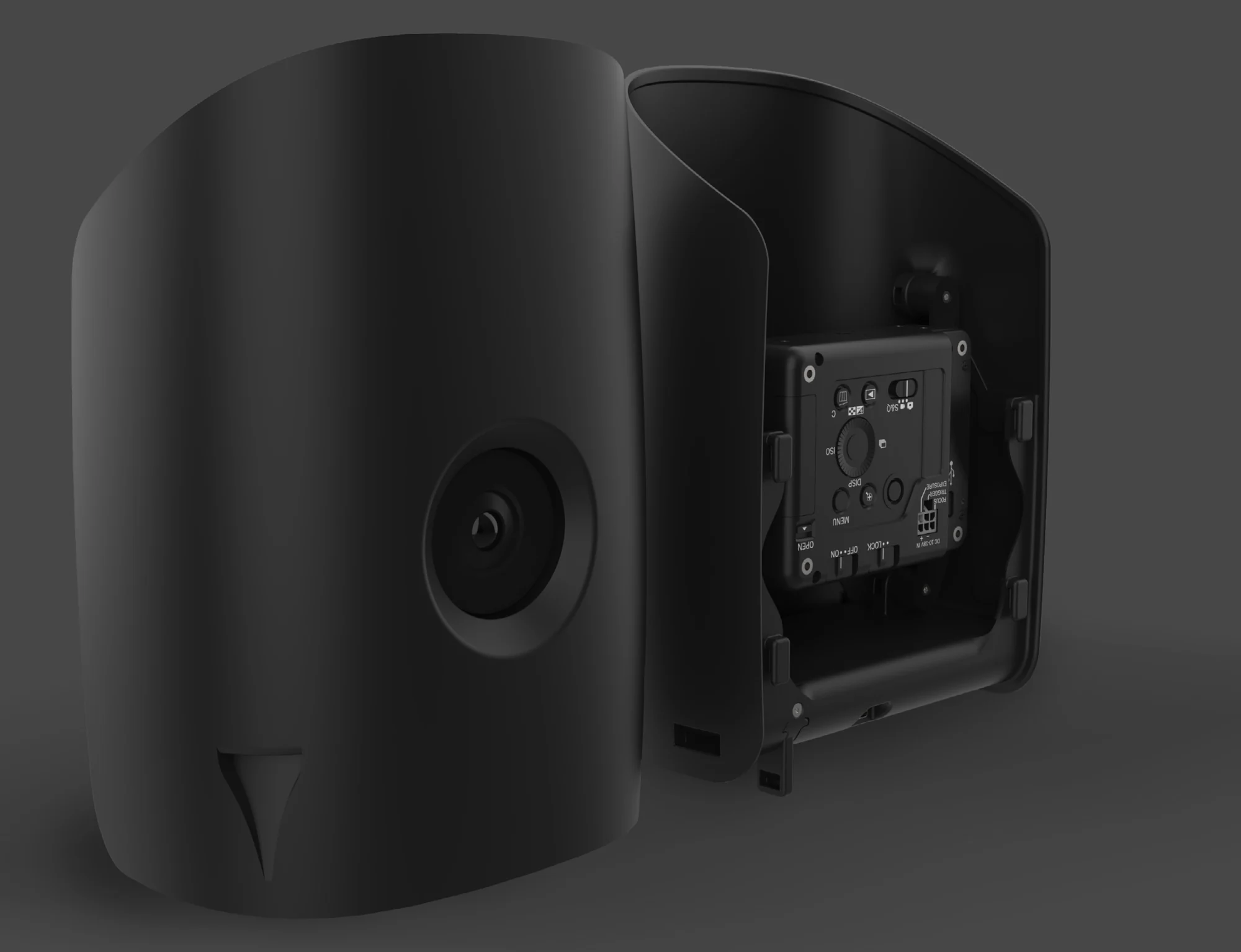
Computing module for the Matrice 400: up to 100 TOPS, 16 GB memory, 256 GB SSD, only ~120 g.
DJI O4 Ground Station
Video transmission station: Gateway and relay modes, up to 40 km with Matrice 400, IP67.
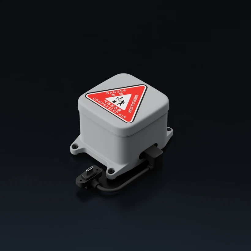
DJI AP100 parachute
Parachute for the Matrice 400: activation ≤ 600 ms, descent ≤ 5 m/s, for C5 / C6 operations.
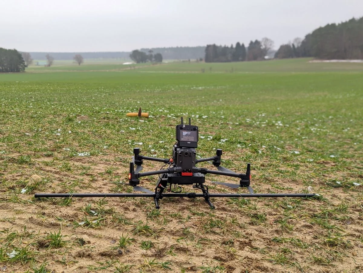
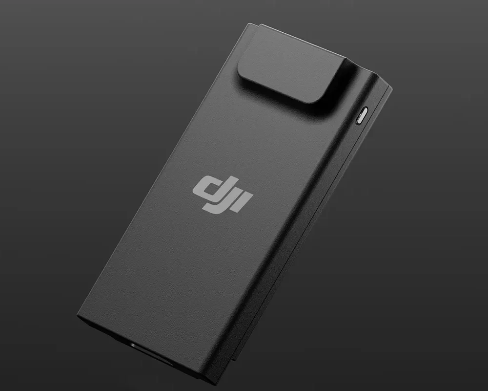
DJI Cellular Dongle 2 (4G)
4G module for Enterprise aircraft and Dock 3 – mobile network connectivity.
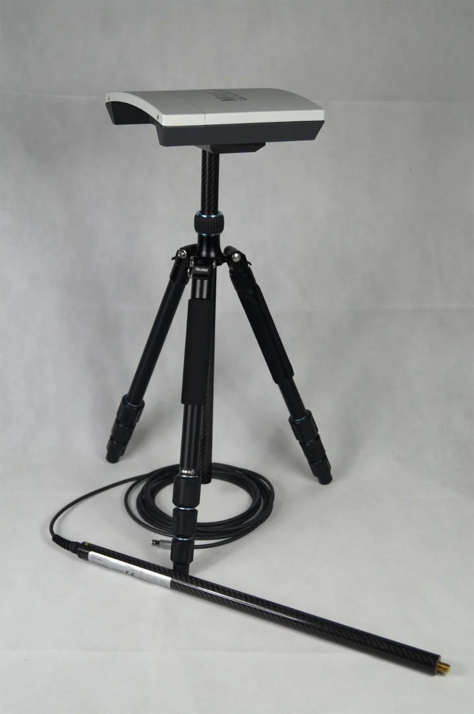
DJI Mavic 3 RTK module
RTK module for the Mavic 3 series: 1 cm + 1 ppm horizontal, 24 g.
DJI Mavic 3 speaker
Speaker for the Mavic 3 Enterprise series: 110 dB, audible up to 100 m, 85 g.
Trimble Business Center (TBC)
Surveying office software: GNSS, total station, scanner and drone data in one project, Aerial Photogrammetry module for orthomosaics and point clouds.
DJI FlightHub 2
Cloud platform for drone management: remote control, flight planning, data analysis and integrations.
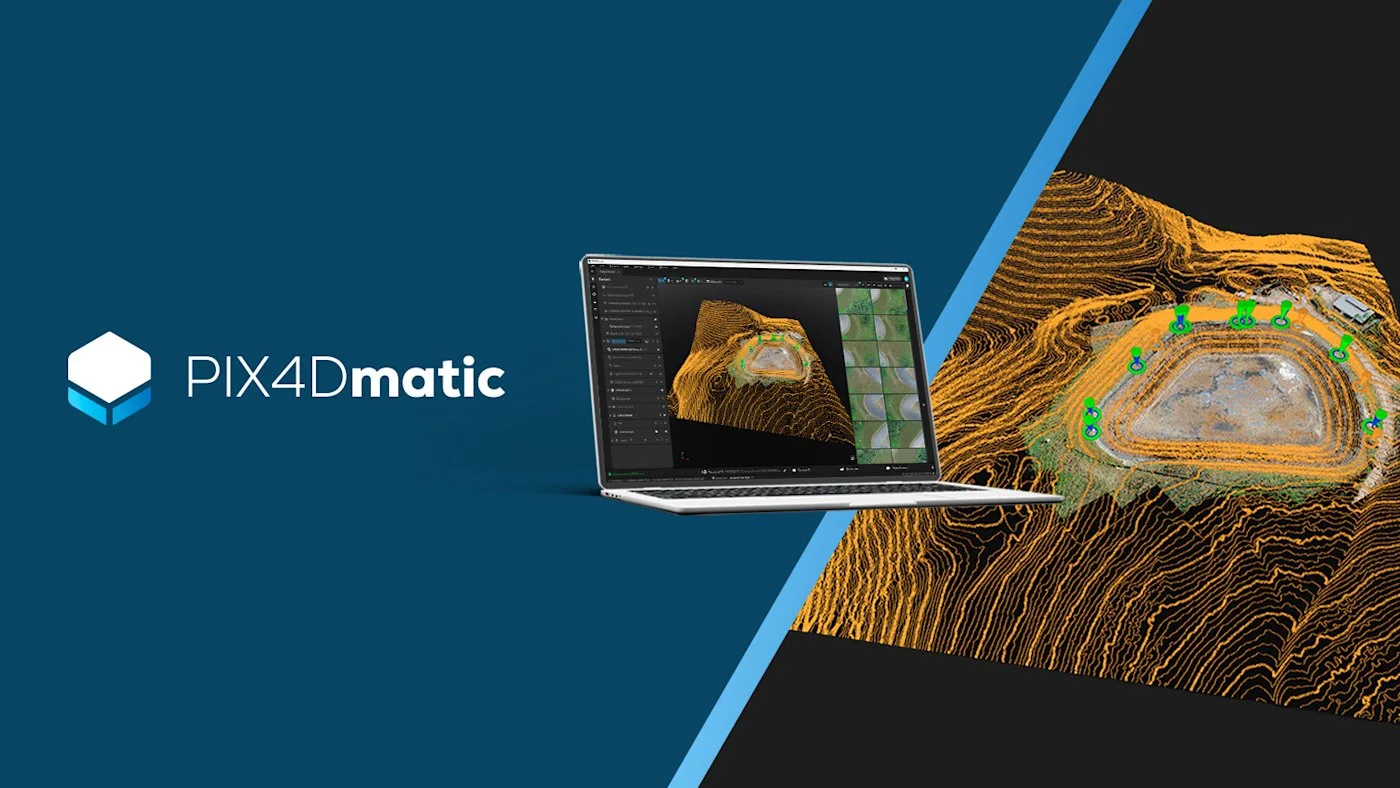
PIX4Dmatic
Desktop photogrammetry and LiDAR software for large projects: point clouds, orthophotos, 3D models.
PIX4Dfields
Agricultural drone and satellite data analysis: vegetation indices, zoning, spray maps.
PIX4Dcloud
Online platform for processing drone data, monitoring sites and sharing results.
PIX4Dreact
A rapid 2D map for rescue services in minutes, processed locally.
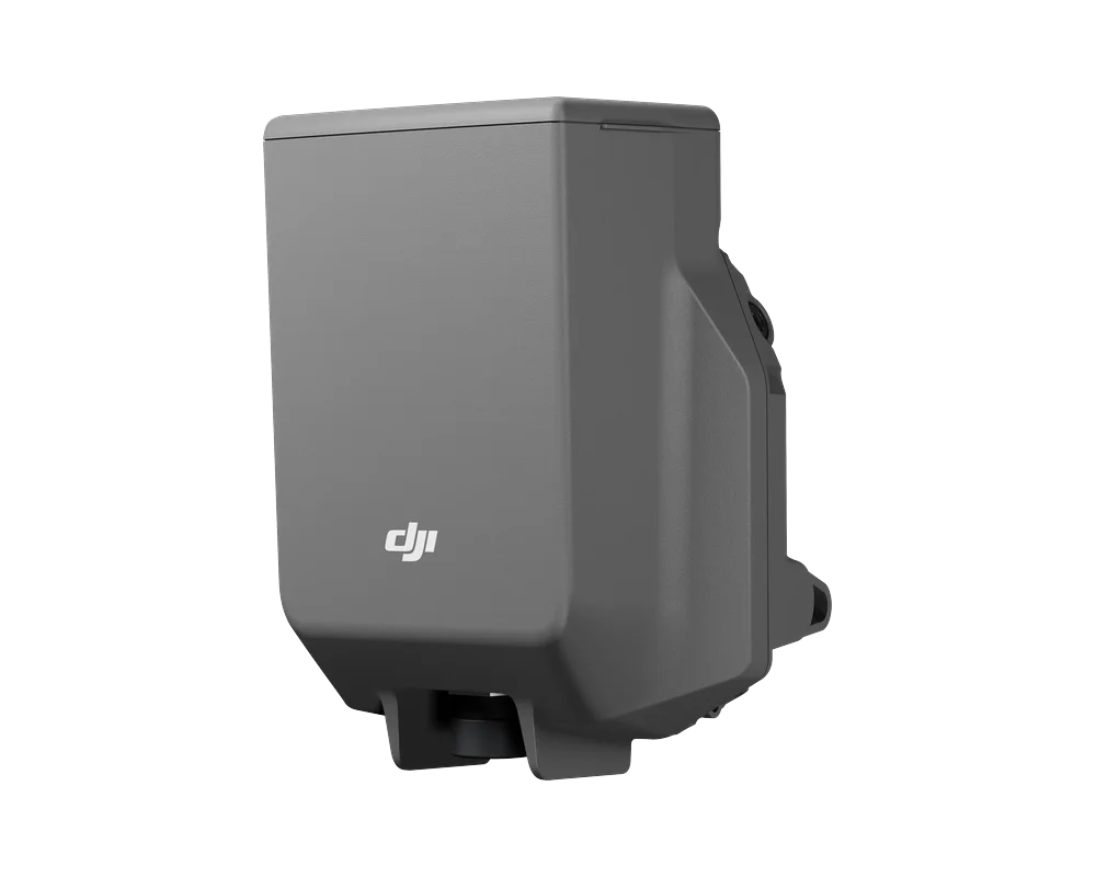
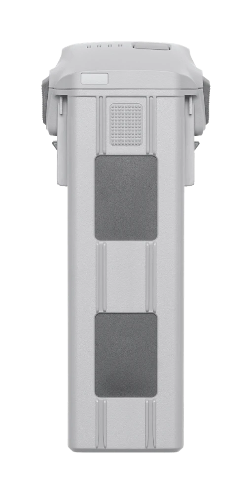
DJI Matrice 4 Series battery
Intelligent Flight Battery for the Matrice 4 Series: 6741 mAh, 99.5 Wh, 401 g.
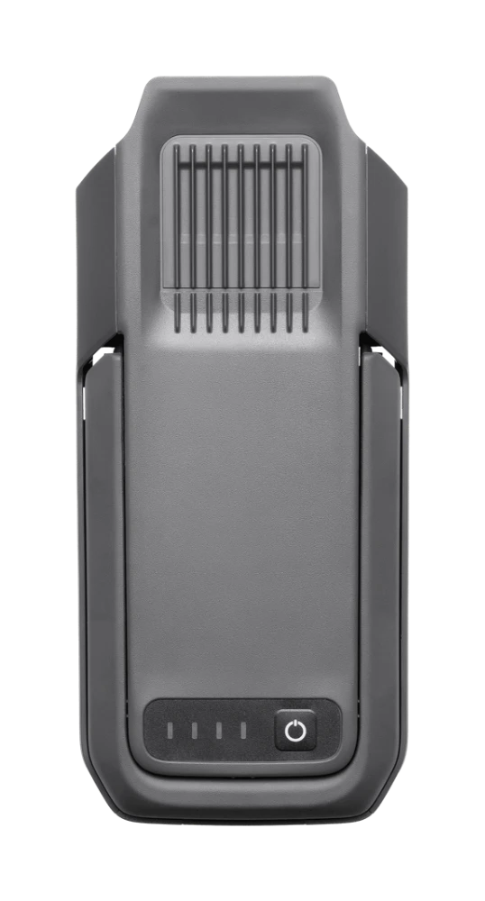
DJI TB65 battery
Matrice 350 RTK battery: 5880 mAh, 263.2 Wh.
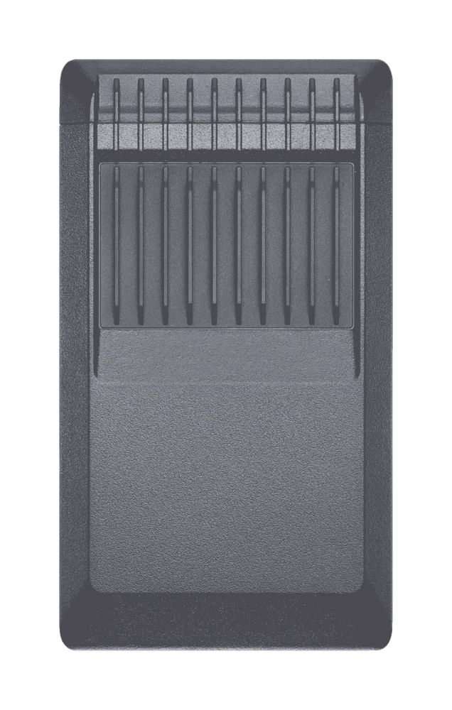
DJI TB100 battery
Matrice 400 battery: 20,254 mAh, 977 Wh, 400 cycles.
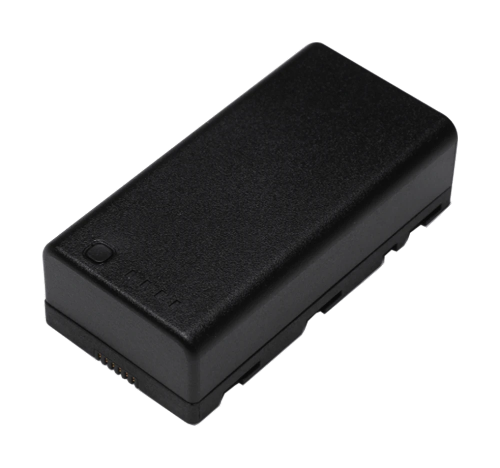
DJI WB37 battery
Battery for controllers and stations: 4920 mAh, 7.6 V, 37.39 Wh.
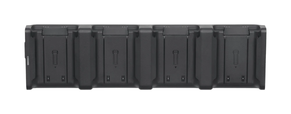
DJI Matrice 4 Charging Hub
USB-C charger for up to 4 Matrice 4 Series batteries, 100 W.
DJI 100 W USB-C power adapter
100 W USB-C adapter for charging the Matrice 4 Series.
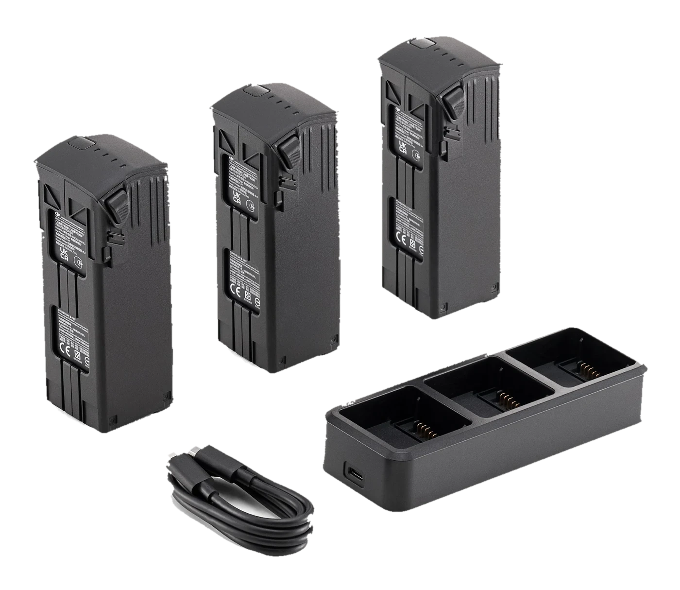
DJI Mavic 3 battery kit
Three 5000 mAh batteries and a charging hub for Mavic 3 series drones.
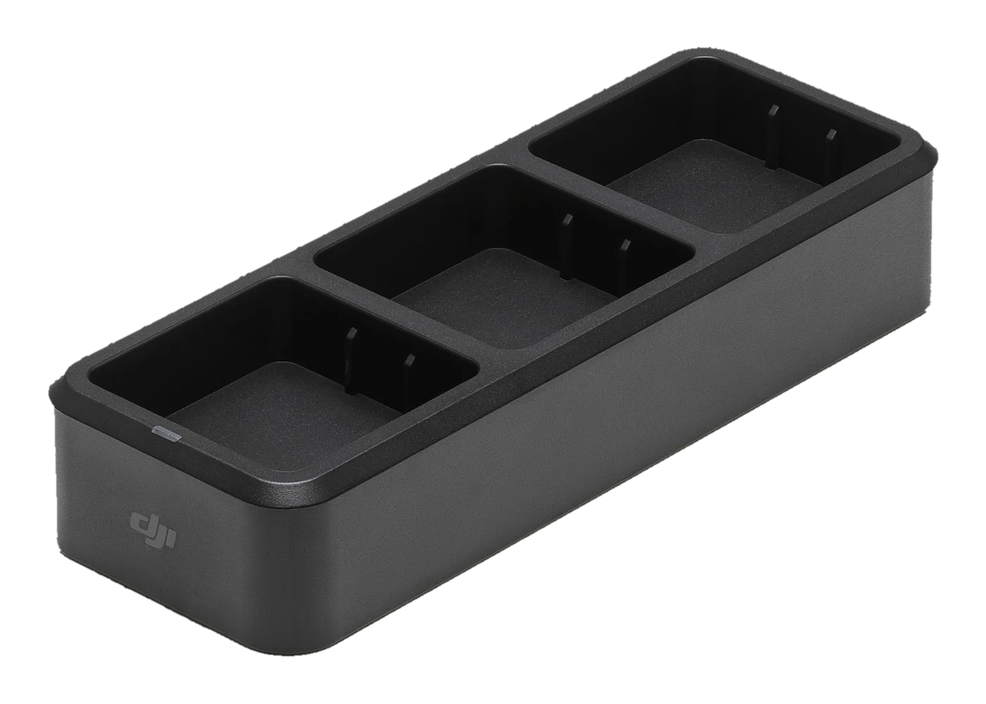
DJI Mavic 3 Charging Hub (100 W)
USB-C hub for three Mavic 3 series batteries: charged in sequence, 100 W.
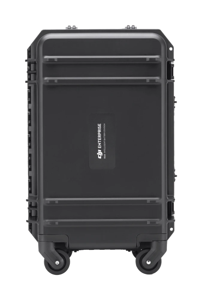
DJI BS65 Intelligent Battery Station
Matrice 350 RTK station: up to 8 TB65 and 4 WB37 batteries.
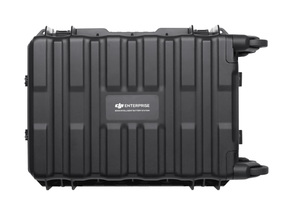
DJI BS100 Intelligent Battery Station
Matrice 400 station: 3 TB100 and 2 WB37, ~45 min (220 V).
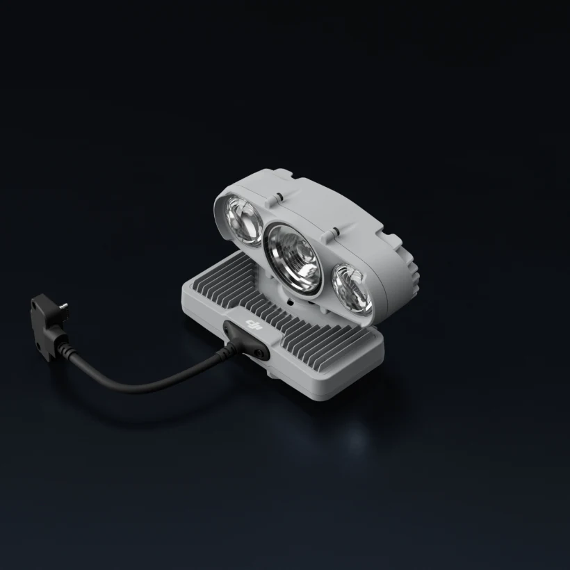
DJI AL2D spotlight
Spot and flood light for the Matrice 5TD: 11.2 lx @ 100 m, strobe mode, controllable tilt, IP55.
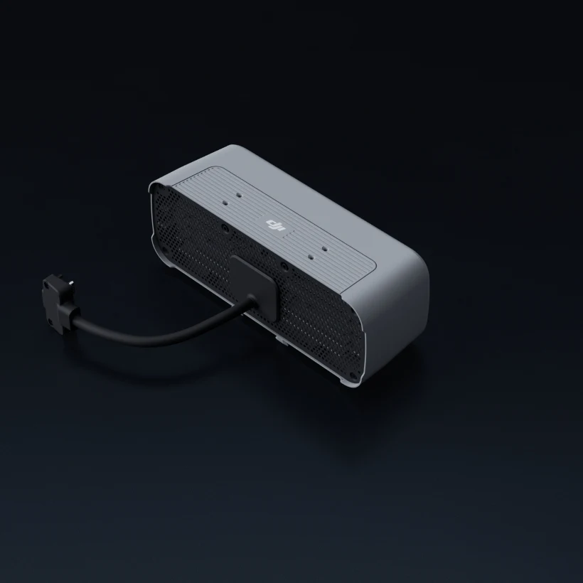
DJI AL2D + AS2D
Spotlight and speaker kit for the Matrice 5TD: illumination up to 100 m, 120.5 dB and broadcast up to 400 m.
DJI AP1 parachute
Parachute for the Matrice 5TD: automatic deployment in 600 ms, descent speed <6 m/s, BVLOS requirements.
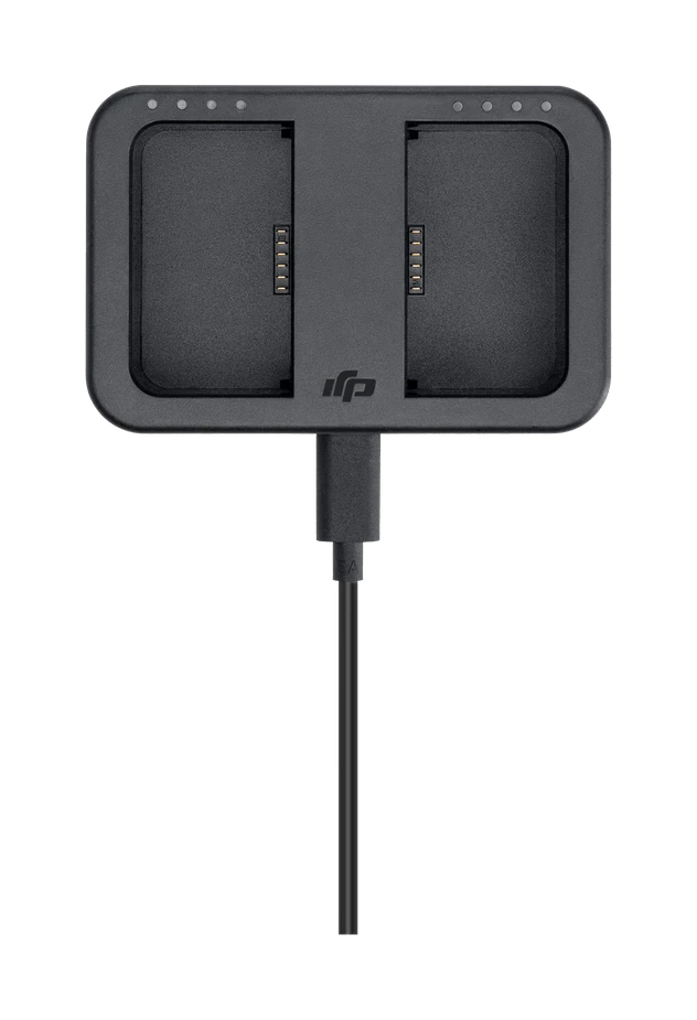
DJI WB37 Charging Hub (USB-C)
USB-C PD charger up to 65 W for WB37 batteries.
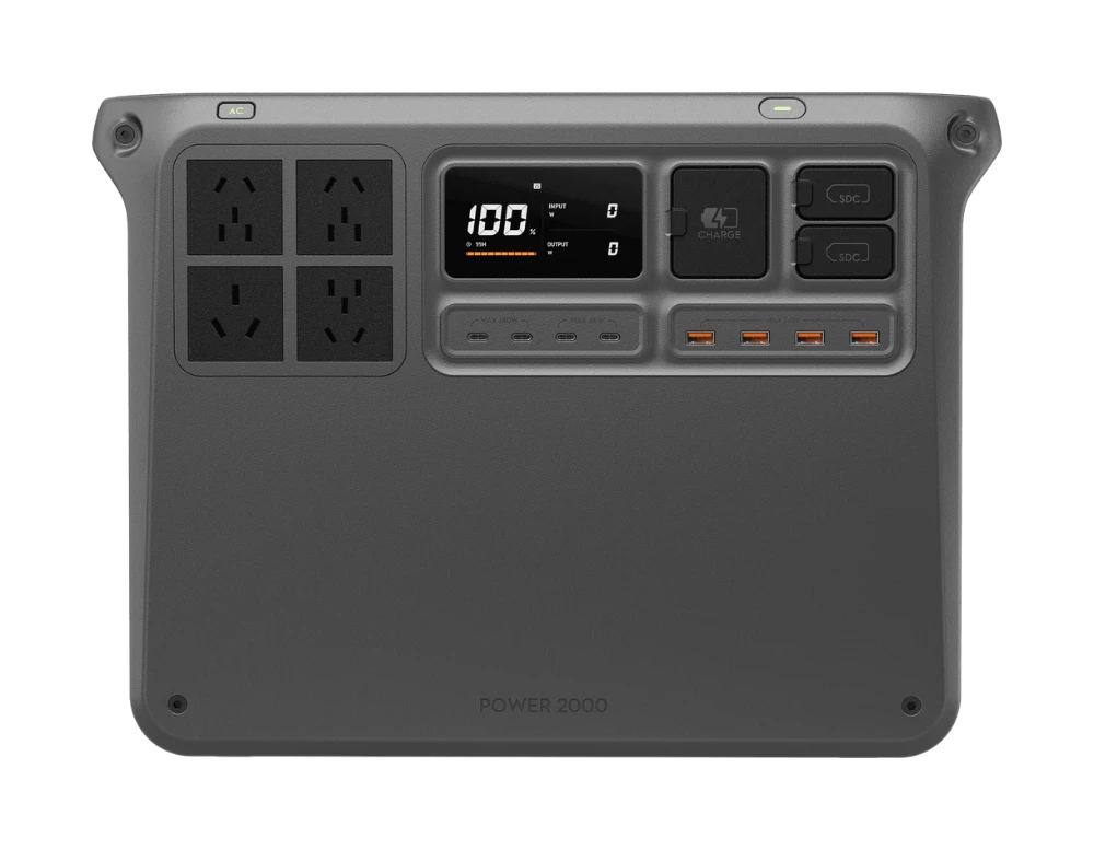
DJI Power 2000
Portable power station: 2048 Wh, up to 3000 W, LFP.