Dronas.lt

GeoCue TV1
GeoCue · Sensors and cameras

GeoCue TrueView 1 NDAA

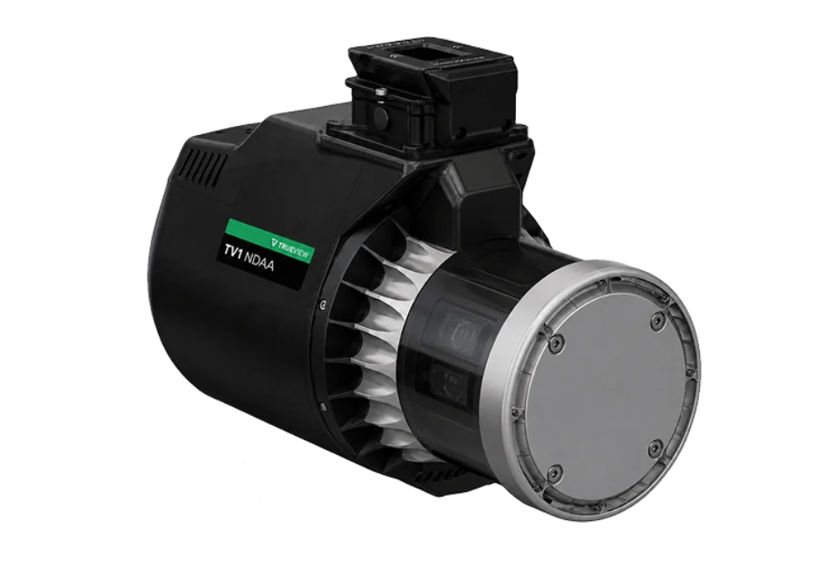
NDAA-compliant drone LiDAR with integrated 26 MP camera: Ouster OS1 Max Rev8, 10.4 million points/s, 1.8 kg. A single flight captures both a detailed point cloud and high-resolution imagery.
Price on request
Configuration tailored to your needs
Official manufacturer warranty · Training · Service in Lithuania
About the product

Description

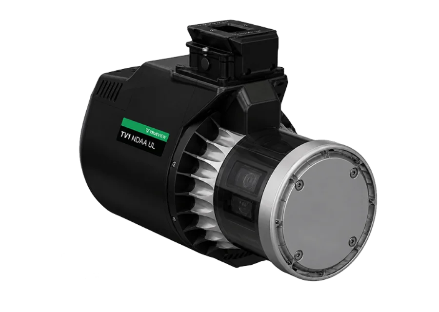
TrueView 1 NDAA extends GeoCue's NDAA-compliant LiDAR portfolio with a cost-effective aerial mapping solution for professional, government and SLED needs. It combines the Ouster OS1 Max Rev8 scanner (longer range, better colour quality and resolution) with an integrated 26 MP camera, so a single flight captures both detailed point clouds and high-resolution imagery. The equipment is designed and assembled at GeoCue's facility in Alabama.
01

Point cloud and imagery in one flight

The integrated 26 MP global shutter camera captures high-resolution photos together with LiDAR data. The Ouster OS1 Max Rev8 scanner reaches 10.4 million points per second (single return), and the whole system weighs 1.8 kg.
GeoCue TrueView 1 NDAA
02

Applications

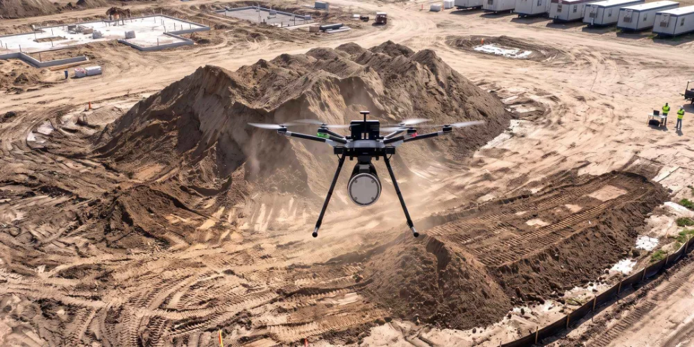
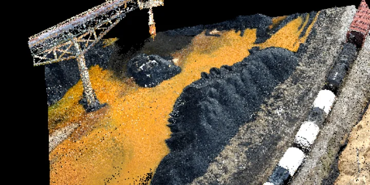
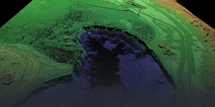
The manufacturer lists these main applications: topography under dense vegetation, coal stockpile inventory, vertical structures and vegetation penetration. The system is designed for professional, government and SLED needs.
03

LP360 Drone and full support

The price includes an annual LP360 Drone subscription: generation of colourised and georeferenced LAS files, processing, QA/QC tools, registration and product generation. Also included are 1 year of hardware and software support and 2-day training at the Huntsville office.
GeoCue TrueView 1 NDAA
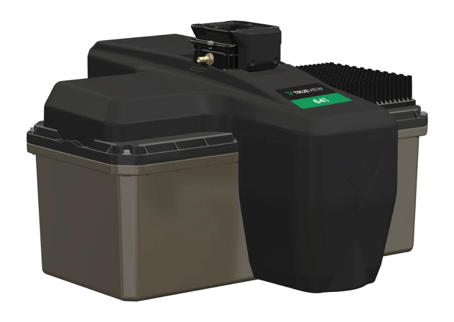
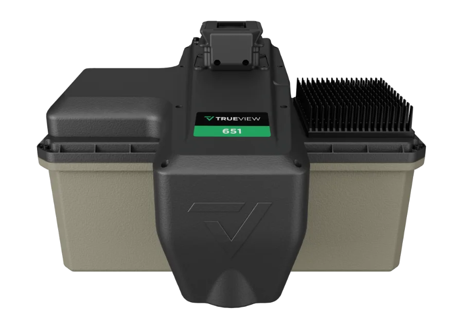
Additional LP360 Drone modules (e.g. Strip Align, 3D Accuracy, AI classification, 3D Photo Engine, Cloud Collaborate, Photogrammetry with Agisoft) are purchased separately. A sensor without an integrated camera but with native colourisation – TrueView 1 NDAA UL. Survey-grade options – TrueView 641 and TrueView 651. More about applications – Mapping.
Specifications
Type
Drone LiDAR with mapping camera
Laser scanner
Ouster OS1 Max Rev8
Point rate
10.4 million points/s (single return)
Camera
26 MP, global shutter, integrated
Weight
1,8 kg
Software
LP360 Drone (1-year subscription included)
Kit contents
TV1 NDAA sensor, USB drive, hard transport case
Support and training
1 year of hardware and software support; 2-day training at the Huntsville (USA) office
Manufacturing
Designed and assembled in Huntsville, Alabama (USA)
Compliance
NDAA
Why Dronas.lt
Warranty terms are stated for each product.

Training included

We will help you get ready to work with the equipment.
Warranty service and repairs at the GeoNovus service centre in Vilnius.
Test the equipment before you decide.
Enquiry

Get a quote

Write to us — we will get in touch, confirm the configuration and send a commercial offer. No advance payment required.
GeoCue TV1
Product
GeoCue TrueView 1 NDAA
What happens next
1
We will contact you within 1 business day
2
We will discuss and confirm the configuration
3
We will send a commercial offer
Related products

You may also like

GeoCue TV1UL
GeoCue
Lightweight (1.4 kg), NDAA-compliant drone LiDAR with Ouster OS1 Max Rev8: 10.4 million points/s and native point colourisation from the LiDAR itself, with no external camera. Designed and assembled in the USA.
Price on request
GeoCue TV641
GeoCue
Survey-grade, NDAA-compliant drone LiDAR: Triple-IN SLP-LW scanner, useful range up to 170 m, up to 6 returns, 26 MP camera. Typical system accuracy 3 cm RMSE.
Price on request
GeoCue TV651
GeoCue
Survey-grade, NDAA-compliant drone LiDAR with Applanix APX-20 UAV INS and unlimited Trimble PP-RTX processing without a base station. Up to 6 returns, range up to 170 m, 26 MP camera.
Price on request
Scroll to Top