SENSYS · Sensors and cameras
SENSYS MagDrone R4
High-resolution drone magnetometer with five triaxial fluxgate sensors: 3–4 ha per hour, for detecting UXO, ammunition and underground structures. Mounts on drones with 1.5 kg payload or more.
- Five triaxial FGM3D/75 fluxgate sensors, sensor spacing 250 or 500 mm
- Productivity 3–4 ha per hour (50 cm sensor spacing, 2.5 m swath width)
- 200 Hz sampling rate, 8 GB memory, control via integrated web server (WiFi)
- Designed to detect bombs, ammunition, metal debris and archaeological objects
Price on request
Base kit. Choose accessories below or we will discuss them in your enquiry
Official manufacturer warranty · Training · Service in Lithuania
About the product
Description
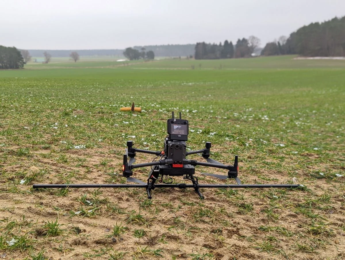
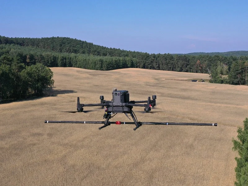
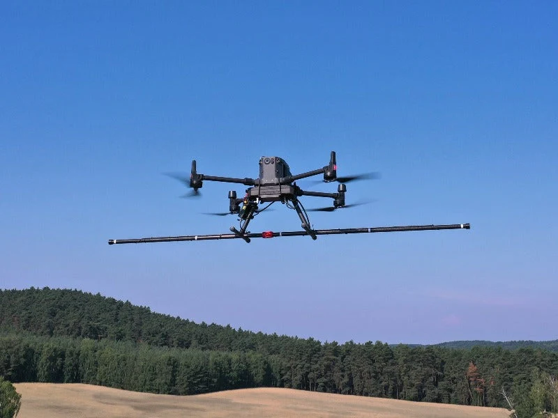
MagDrone R4 by SENSYS (Germany) is a highly versatile magnetometer survey kit with five triaxial fluxgate sensors, mounted on a drone capable of carrying more than 1.5 kg. It is designed for large-area surveys where surveys on foot or by vehicle become very difficult. Unlike the R3, the R4 is used for high-resolution mapping: detecting small, compact metal debris, objects and structures underground, such as bombs, ammunition or remains of old settlements.
01
High-resolution mapping
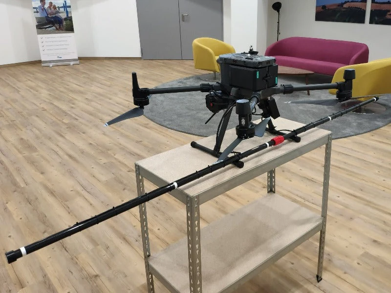
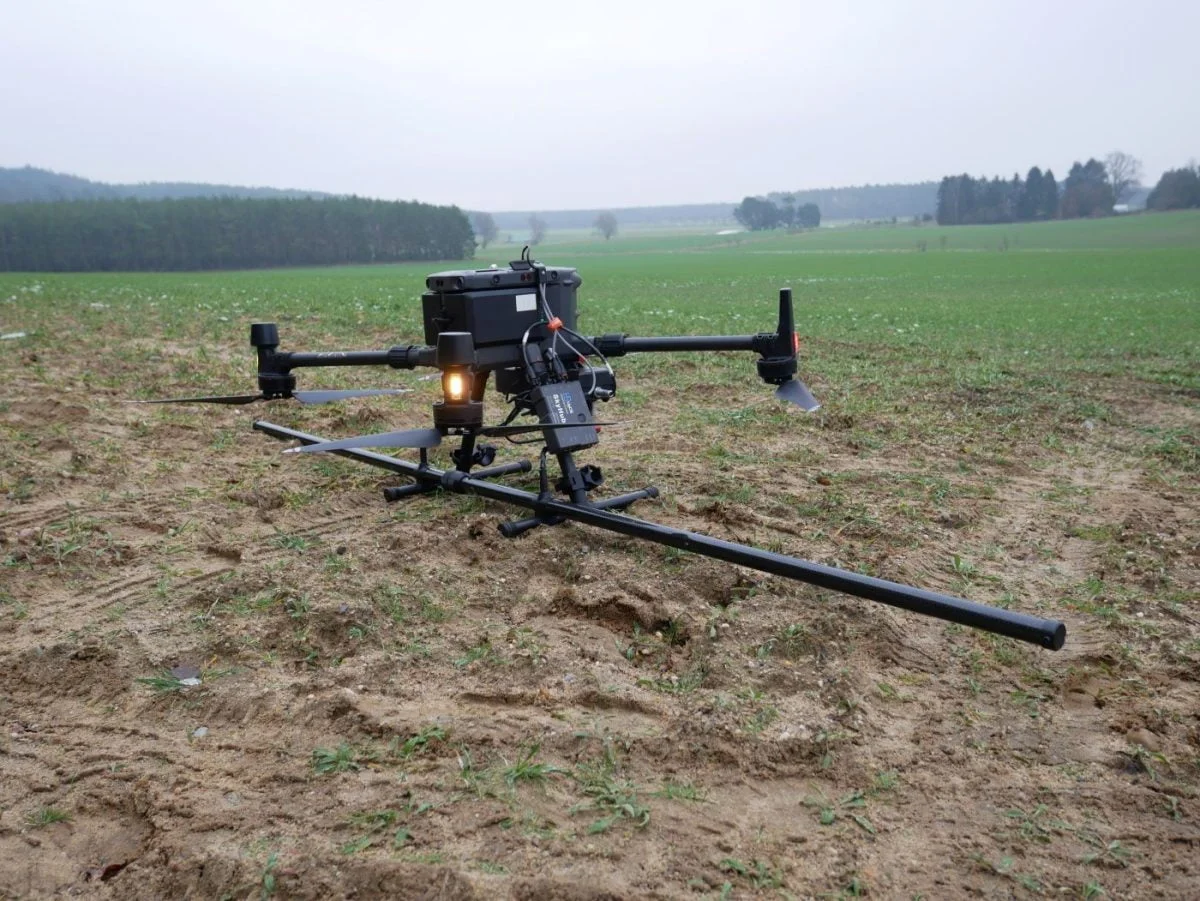
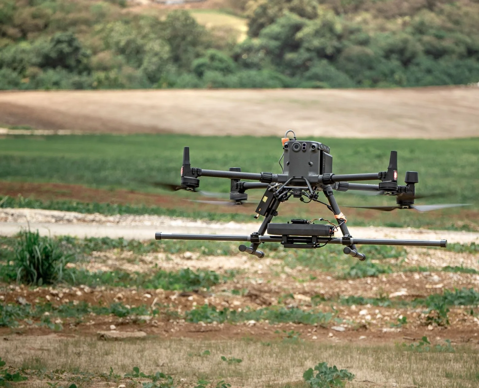
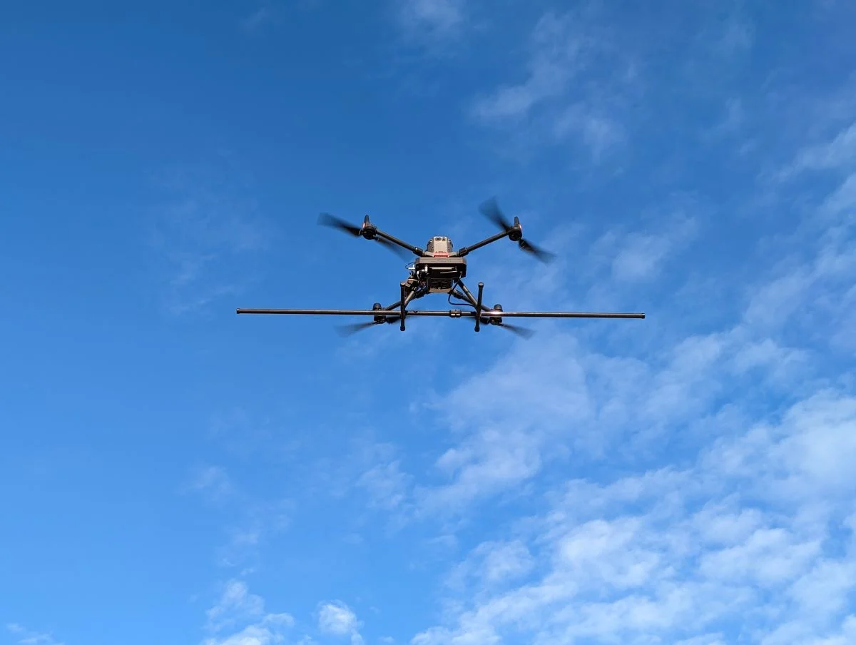
Thanks to a folding mechanism, sensor spacing is 25 or 50 cm, and the carbon fibre boom provides a 2.5 m swath width. For full-coverage scanning the manufacturer states a productivity of 3–4 ha per hour. The smaller the sensor spacing, the smaller the objects that can be resolved.
02
One-button operation
The system is operated with a single button, and the integrated server is accessible from any WiFi device: smartphone, tablet or laptop. It makes it easy to set up and check the system, start or stop recording remotely and download data. MagDrone DataTool detects flown lines, cuts, filters and compensates raw data, creates a preview and exports to other formats.
03
Noise filtering
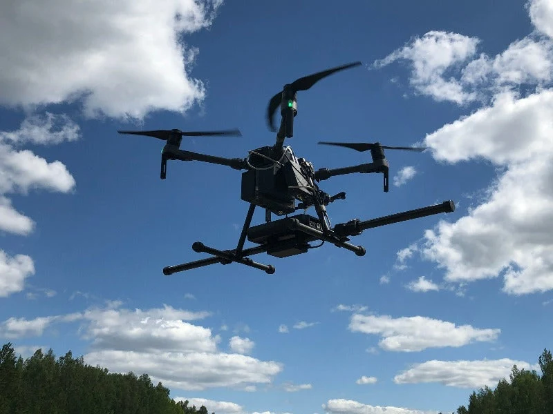
Thanks to the 200 Hz sampling rate, the system filters out noise from mains frequencies, infrastructure and drone propellers, so the sensor boom is mounted directly on the drone's landing legs or gear. Together with the MagBase reference station, temporal disturbances can also be removed.
The R4 is suitable for general-purpose and scientific magnetic mapping, as well as security tasks: bomb and ammunition detection, minefield mapping, preventive inspection and monitoring of areas and camps. The system is ready in a few steps, and data can be exported to MAGNETO®, GIS or MATLAB. For lighter payloads and smaller drones – MagDrone R3. To eliminate noise – the reference station MagBase. Important: a magnetometer detects ferromagnetic objects. It does not detect most modern mines, so the result cannot be taken as proof that an area is free of mines or small munitions.
Specifications
Type
Drone magnetometer (fluxgate), 5 sensors
Sensors
5 × triaxial FGM3D/75, horizontal, parallel
Sensor centre spacing
250 / 500 mm
Swath width
2.5 m (carbon fibre boom)
Productivity
3–4 ha per hour (50 cm sensor spacing, 2.5 m swath width)
Measuring range
±75,000 nT (higher on request)
Sampling rate
200 Hz (higher on request)
Internal memory
8 GB
GPS
External GPS input
Controls
Start/stop button; web interface (WiFi) via phone, tablet or computer
Weight
2,700 g (3,000 g with battery)
Minimum payload
more than 1,500 g
Power supply
18 V, 1,500 mAh Li-ion rechargeable battery; approx. 10 W
Operating temperature
−20 °C … +50 °C
Kit contents
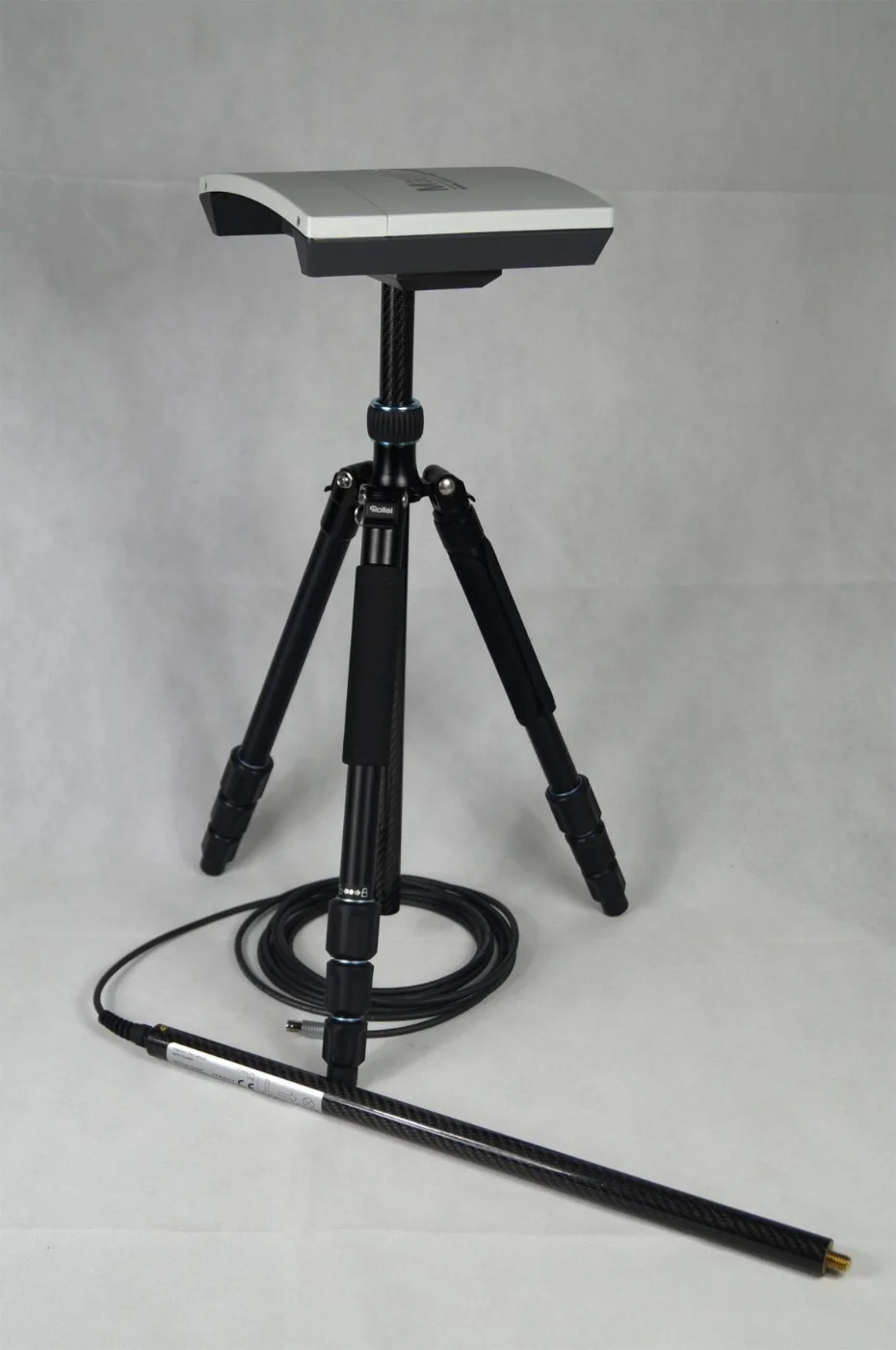
MagDrone R4 (boom frame with 5 sensors, data logger), 2 rechargeable batteries, charger, USB stick with MagDrone DataTool, certificate, manual, hard transport case (820 × 530 × 300 mm)
Documents and specifications
Documents are provided from official manufacturer sources and open in a new window.
In the box
Recommended accessories
The price is for the base kit. You can choose recommended accessories yourself: open their pages or click “Add to enquiry” – we will prepare a combined offer.
Recommended
Carrier drone: DJI Matrice 350 RTK
In the manufacturer's examples the R4 flies on DJI Matrice 300 / 350 RTK class platforms.
Recommended
Carrier drone: DJI Matrice 400
A newer platform with higher payload and longer flight time.
Recommended
MagBase reference station
Fixed station for recording the Earth's magnetic field: helps remove temporal disturbances (vehicles, mains frequencies).
Recommended
MAGNETO® software
Optional SENSYS software for data analysis and interpretation: colour maps, position and size of suspicious objects.
Recommended
Terrain following system
For detection it is recommended to fly about 1 m above the surface, so a terrain following solution is useful.
Why Dronas.lt
Training included
We will help you get ready to work with the equipment.
Enquiry
Get a quote
Write to us — we will get in touch, confirm the configuration and send a commercial offer. No advance payment required.
Product
SENSYS MagDrone R4
What happens next
1
We will contact you within 1 business day
2
We will discuss and confirm the configuration
3
We will send a commercial offer
Related products
You may also like
SENSYS
Ultra-light drone magnetometer for geophysical surveys: two triaxial fluxgate sensors, 200 Hz sampling, integrated GPS. Mounts on any drone with 1 kg payload or more.
Price on request
SENSYS
Reference station for removing magnetic noise: records the Earth's magnetic field at a fixed location and allows MagDrone measurements to be corrected for temporal disturbances.
Price on request
DJI Enterprise
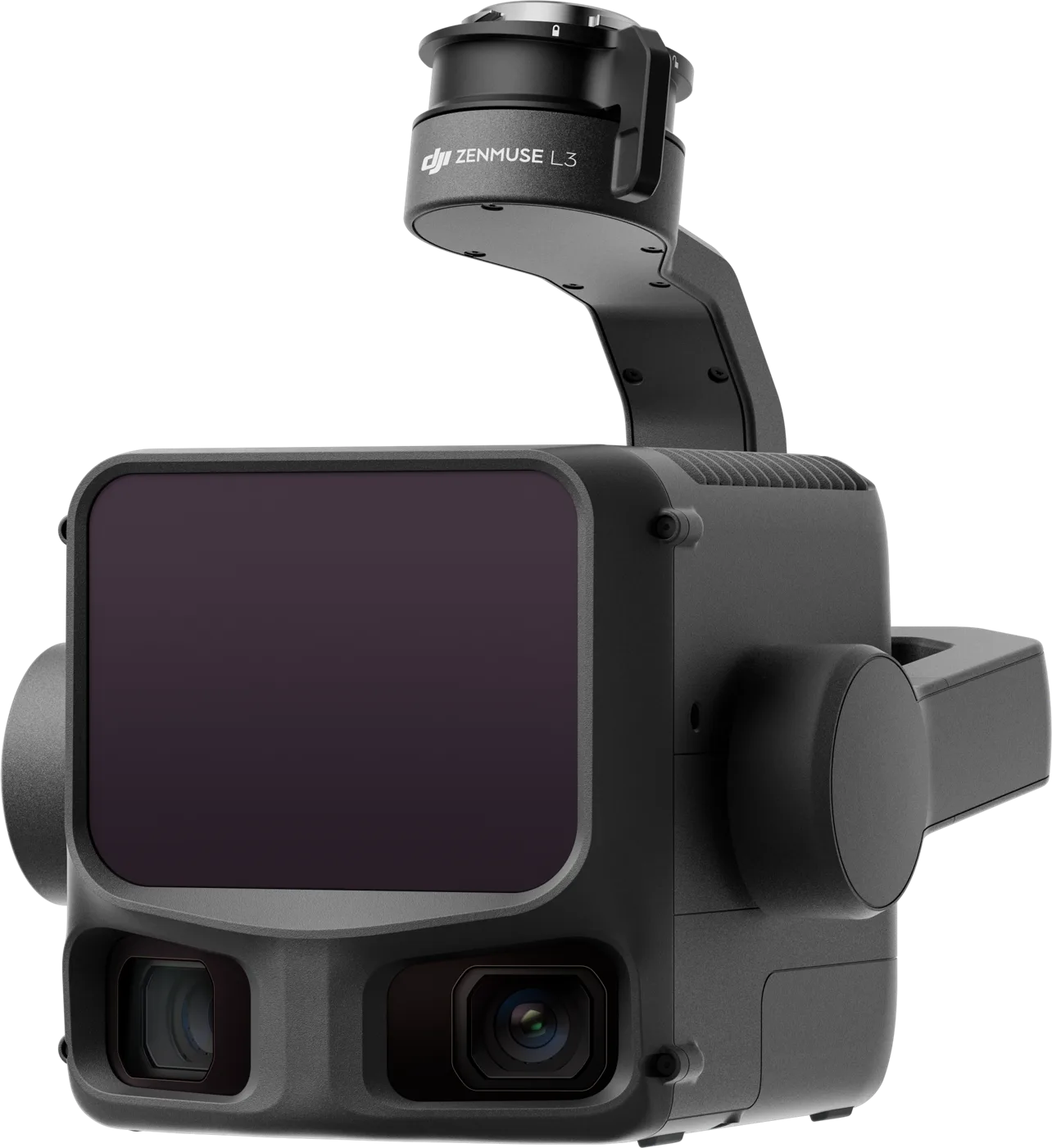
Top-class LiDAR with a 100 MP mapping camera for the Matrice 400: 1535 nm laser, up to 2,000 m range and centimetre accuracy for large areas.
€16,370 incl. VAT