Dronas.lt

DJI Enterprise · Unmanned aircraft

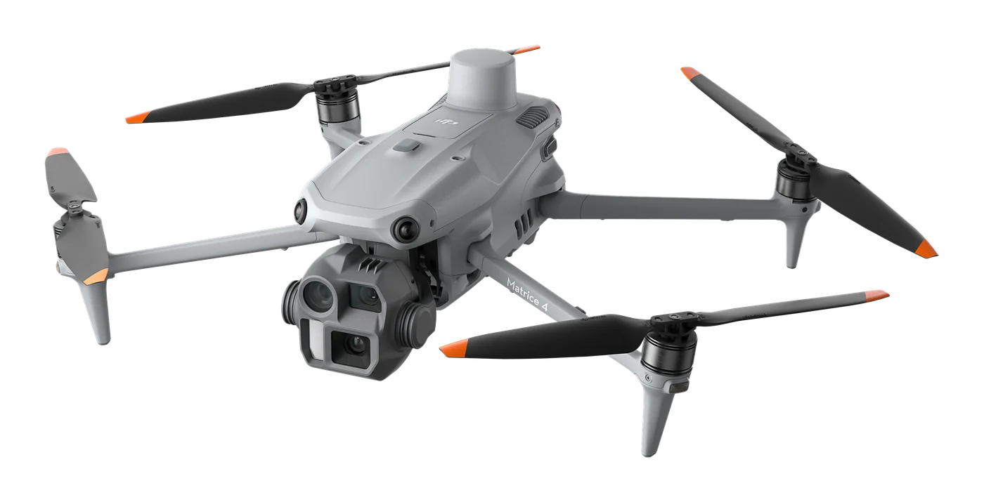
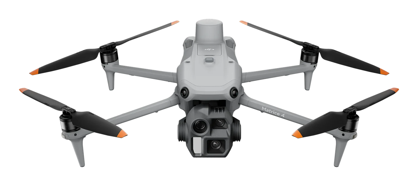
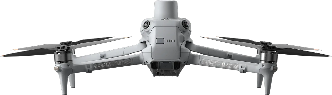
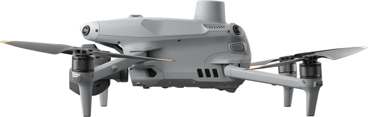
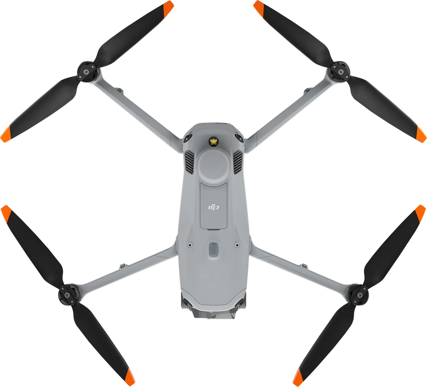
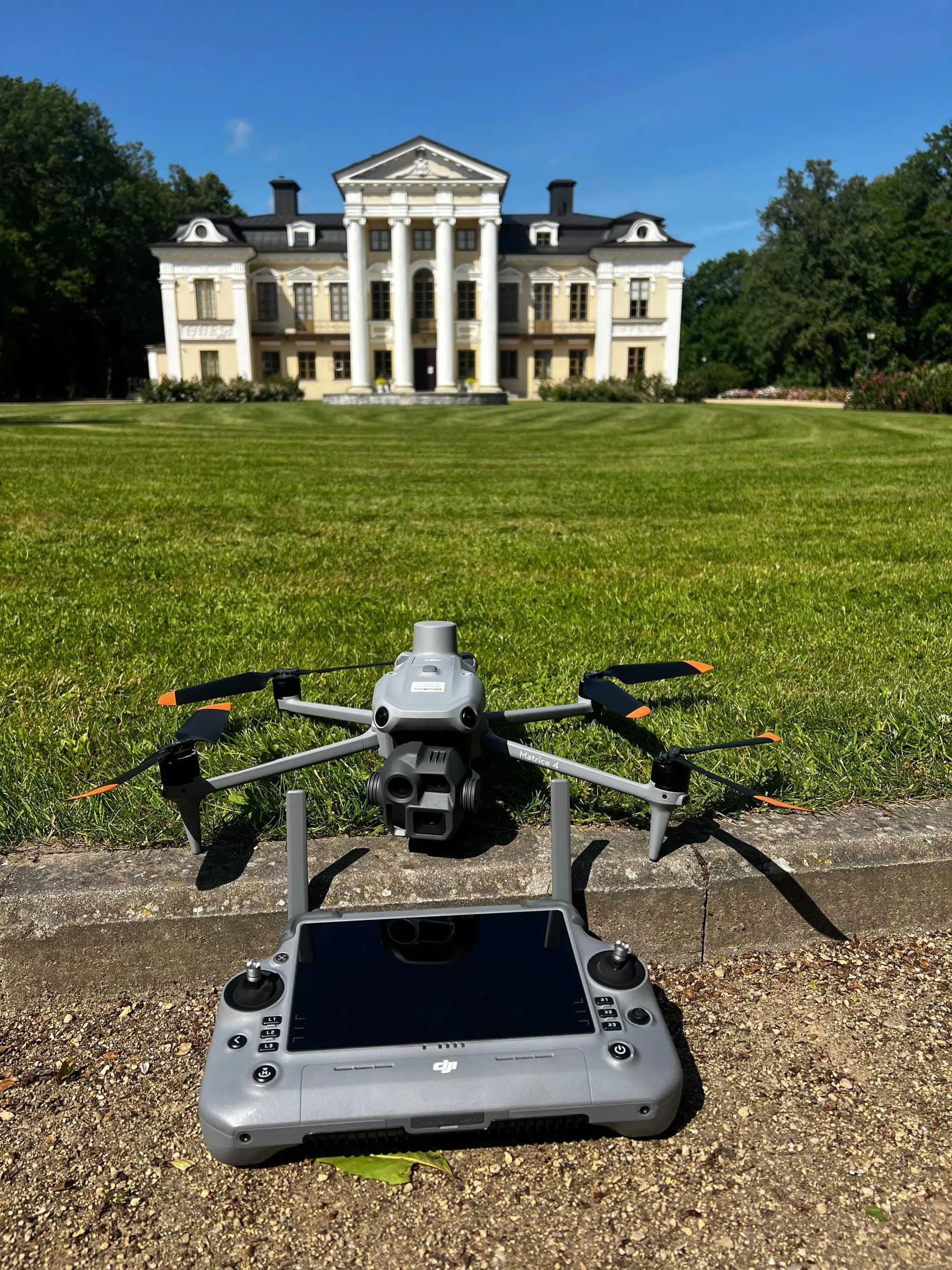
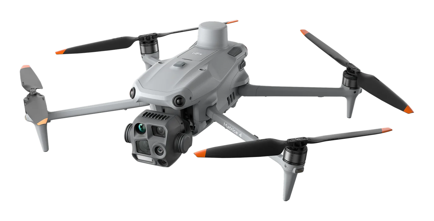
DJI Matrice 4E

Photogrammetry and mapping platform: RTK module, 3-direction orthophoto and 5-direction oblique capture, 0.5 s photo interval and up to 49 min flight time. For topography, construction, mining and 3D models.
Buy online
4 590 € incl. VAT
  • DJI Matrice 4 Enterprise drone x1
  • DJI Matrice 4 Enterprise Intelligent Battery x1
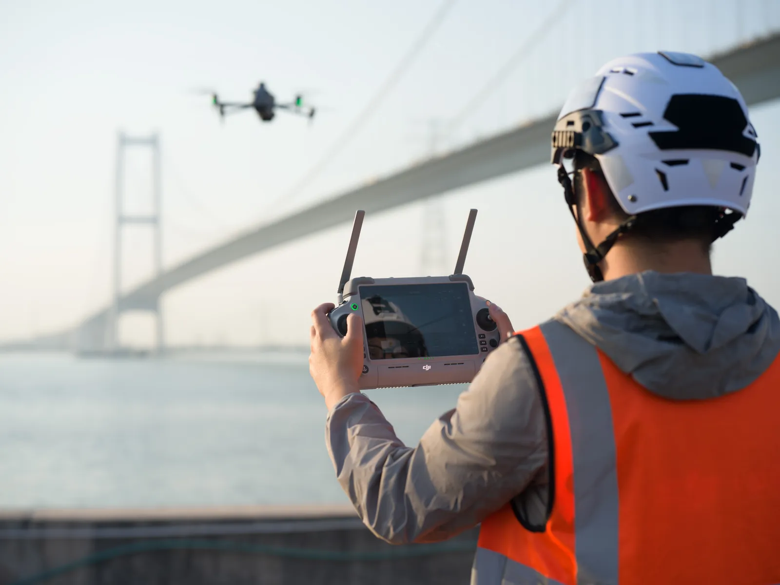
  • DJI RC Plus 2 Enterprise remote controller x1
  • DJI Matrice 4 Enterprise propellers x3
  • MicroSD card 64GB x1
  • Camera protector x1
  • USB-C power adapter (100 W) x1
  • Charging cables x3
  • DJI Matrice 4 Enterprise charging hub
  • Protective case x1
  • DJI Care Enterprise one-year cover x1
Free delivery in Lithuania · Payment by bank transfer · Includes 2-year warranty and 1 year of DJI Care Enterprise
One battery included
Included: drone, 1 battery, RC Plus 2 Enterprise controller, charging hub with 100 W adapter, protective case, microSD card and 1 year of DJI Care Enterprise.
Need more batteries or accessories (D-RTK 3, extra hub)? Click “Build your kit” – you will see the final price.
Official manufacturer warranty · Training · Service in Lithuania
About the product

Description

Matrice 4E is a photogrammetry and mapping platform. Unlike the thermal-focused Matrice 4T, it is designed for data collection: orthophoto plans, topographic maps, 3D models of cities and assets, and volume calculations with fewer ground control points and less time in the field.
01

Mapping and 3D models: up to 40% more efficient work

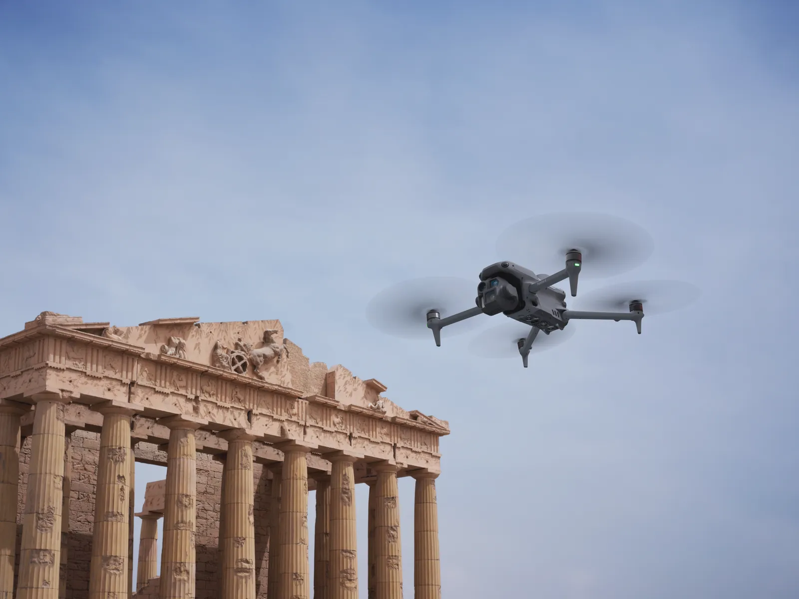
Three orthophoto and five oblique directions, a 0.5 s photo interval and speeds up to 21 m/s let you capture a larger area in less time – efficiency increases by about 40% compared with the Matrice 3E. Suitable for 3D modelling of cultural heritage, buildings and cities, cadastre and topographic surveys.
DJI Matrice 4E
DJI Matrice 4E
02

Accuracy without lots of ground control points

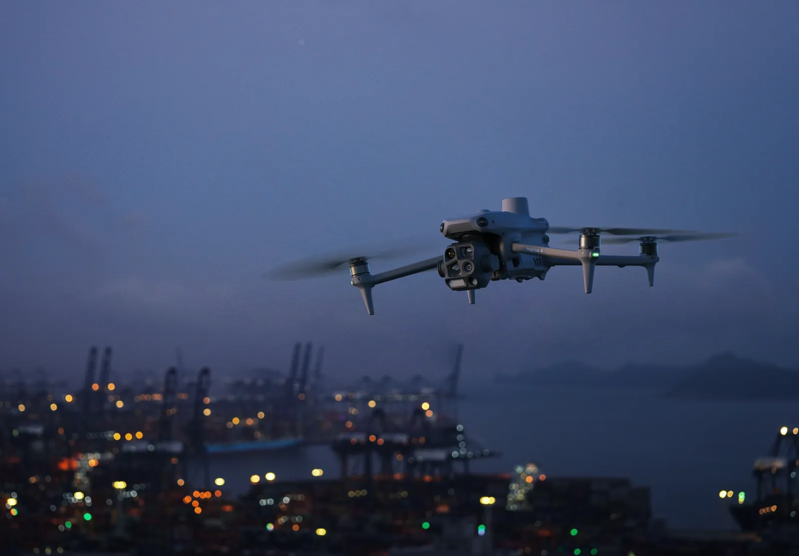
The wide-angle camera is factory-calibrated, and with DJI Terra the improved Distortion Correction 2.0 reduces residual error to less than 2 pixels. The RTK module ensures centimetre positioning – suitable for volume calculations at ports, mines and quarries, construction progress monitoring and site topography.
03

From flight to 3D model

Smart 3D Capture lets you start building a 3D model right on the remote controller with DJI Terra, while improved obstacle sensing and vision-based positioning help capture complex structures safely – bridges, cranes, power towers and building façades – and obtain data ready for processing in Pix4D or DJI Terra.
DJI Matrice 4E
Specifications
Max. flight time
up to 49 min
Wide-angle camera
4/3 CMOS, 20 MP
Capture modes
3-direction orthophoto, 5-direction oblique
Minimum photo interval
0,5 s
Max. flight speed
21 m/s
Distortion correction
Distortion Correction 2.0, residual error <2 px
Positioning
RTK module
Transmission range
up to 25 km (FCC)
Remote controller
DJI RC Plus 2, 7.02″, 1,400 nits
Documents and specifications
Documents are provided from official manufacturer sources and open in a new window.
Video

Matrice 4 Series – launch video

Source: official DJI Enterprise YouTube channel. The video loads only after you press “Play”.

Our webinars and reviews

Unboxing the DJI Matrice 4

DJI Matrice 4 – the future of aerial mapping? (webinar)

Source: our YouTube channel “GeoNovus – Trimble Lietuvoje”. The video loads only after you press “Play”.
Why Dronas.lt
Warranty terms are stated for each product.

Training included

We will help you get ready to work with the equipment.
Warranty service and repairs at the GeoNovus service centre in Vilnius.
Test the equipment before you decide.
Enquiry

Get a quote

Write to us — we will get in touch, confirm the configuration and send a commercial offer. No advance payment required.
DJI matrice 4E – vaizdas iš šono
Product
DJI Matrice 4E
What happens next
1
We will contact you within 1 business day
2
We will discuss and confirm the configuration
3
We will send a commercial offer
Related products

You may also like

DJI matrice 4T – vaizdas iš šono
DJI Enterprise
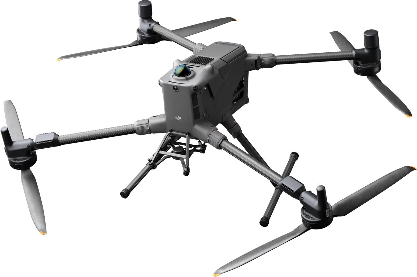
A thermal platform for when seeing heat matters: night-time search and rescue, thermal inspections of power lines and substations, solar plants and buildings. Six sensors, AI object recognition and up to 49 min flight time.
€6,890 incl. VAT
DJI matrice 400 – vaizdas iš šono
DJI Enterprise
Long-endurance flagship platform: up to 59 min flight with payload, 6 kg payload capacity, up to 7 sensors at once and obstacle detection that recognises even high-voltage wires. For power grid and infrastructure inspections, LiDAR mapping, search and rescue.
€9,559 incl. VAT
DJI matrice 350 rtk – vaizdas iš priekio
DJI Enterprise
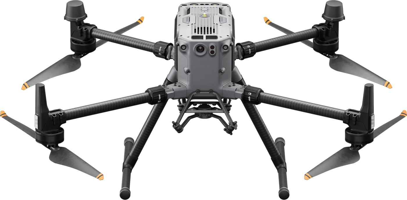
The most reliable enterprise workhorse: up to 55 min flight time, IP55, up to 2.7 kg payload and a full range of sensors – from thermal and LiDAR to photogrammetry cameras. For quarries, ports, energy and other demanding sites.
from €9,800
Scroll to Top