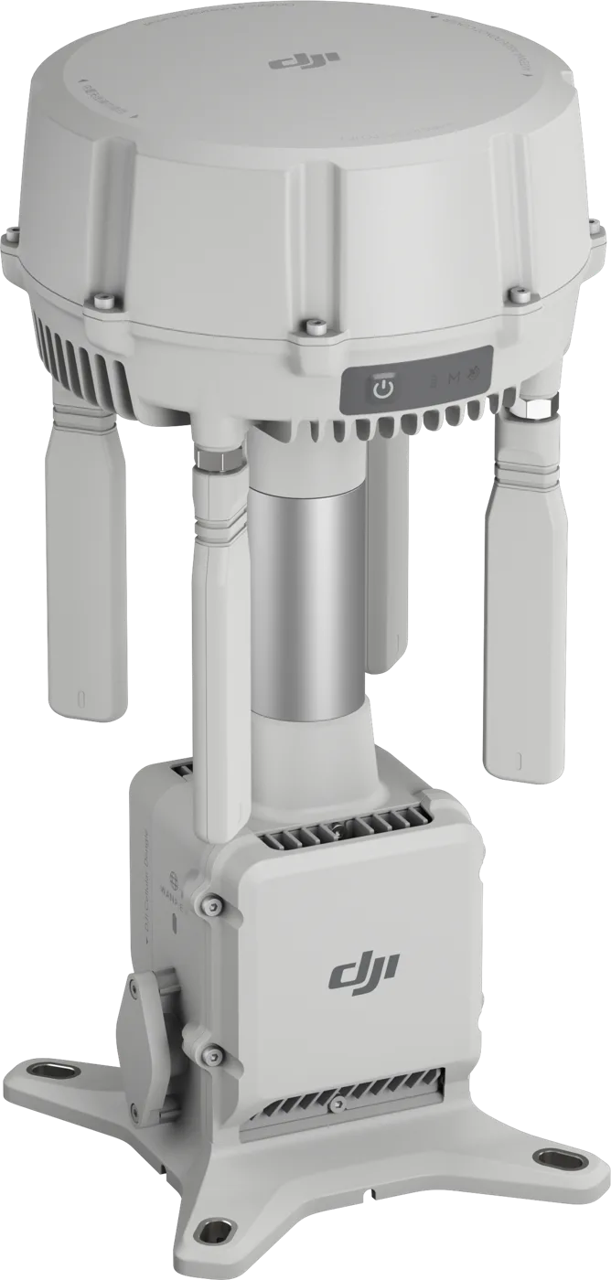
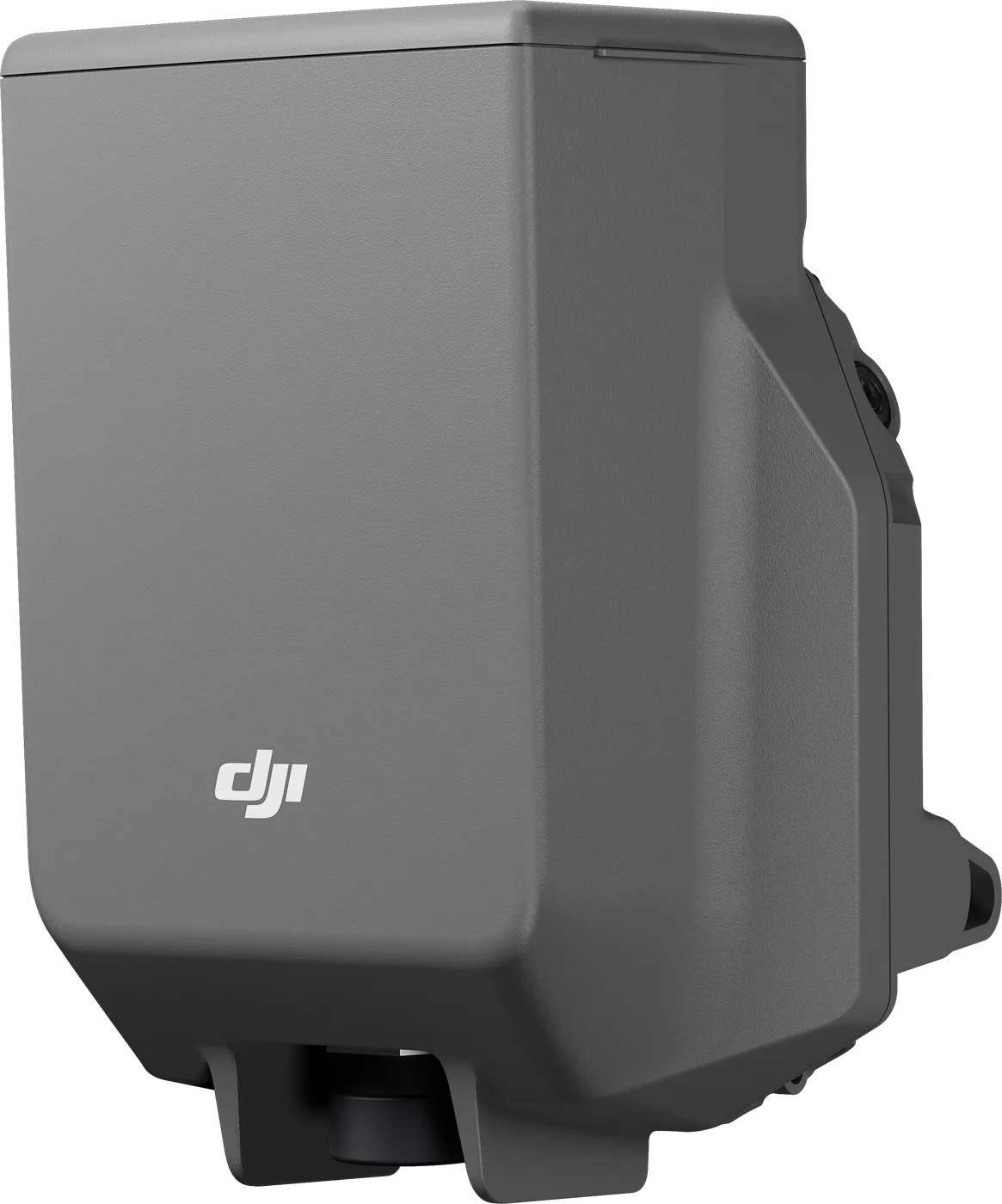
GNSS
GPS L1C/A, L2C, L5; BDS B1I, B2I, B3I, B1C, B2a, B2b; Galileo E1, E5a, E5b, E6; GLONASS L1, L2; QZSS L1C/A, L2C, L5; L-Band (5 GNSS systems, 19 frequency points)
RTK accuracy (rover, fixed point, RMS)
horizontal 0.8 cm + 1 ppm; vertical 1.5 cm + 1 ppm
Tilt measurement
0°–60°; horizontal 8 mm + 0.7 mm/° tilt (below 2 cm up to 30°)
Base station and relay (RMS)
single point without calibration 1.5 m / 3.0 m; satellite correction (20 min) 30 cm / 40 cm; network RTK calibration 1.0 cm + 1 ppm / 3.0 cm + 1 ppm
Base station → aircraft (line of sight)
up to 15 km (FCC), 12 km (SRRC), 8 km (CE / JP)
Relay: aircraft → relay
up to 25 km (FCC), 12 km (SRRC), 10 km (CE)
Relay → remote controller
up to 1 km (FCC / SRRC), 300 m (CE)
Rover → mobile device
up to 30 m
Video transmission
DJI O4 Enterprise; relay 2.4 / 5.2 / 5.8 GHz, broadcast 2.4 / 5.8 GHz
Battery
LiPo 6500 mAh, 46.8 Wh
Operating time
relay 4 h, base station 7 h, rover 10 h
Power
relay 14.5 W (up to 36.5 W with heating), base station 7 W, rover 6.2 W
Charging
USB PD 3.0, 9–15 V
Protection and conditions
IP67; -20 °C…55 °C; up to 6,000 m altitude; withstands a 2 m drop on a pole
Dimensions and weight
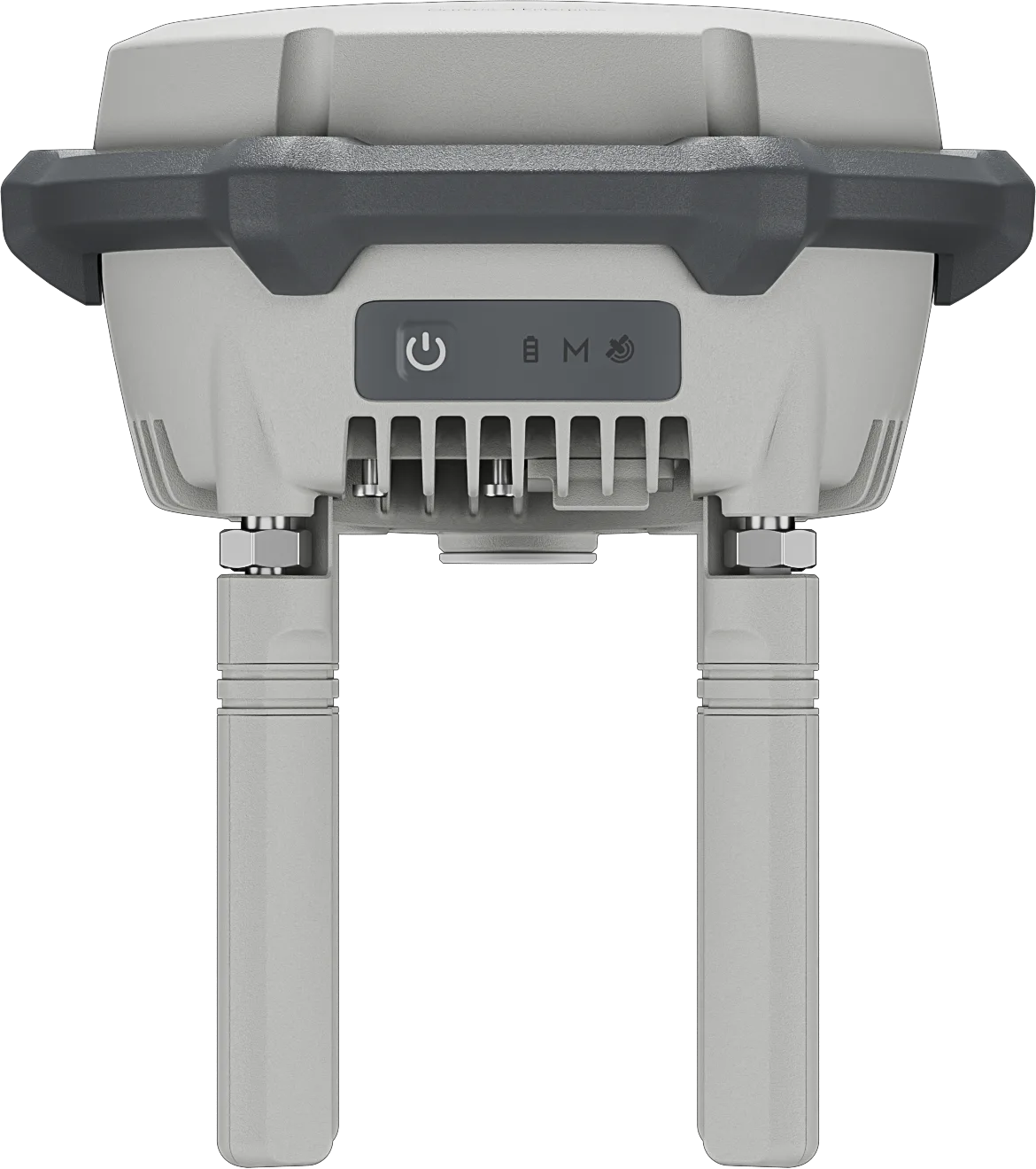
163 × 89 mm (without directional antennas); approx. 1.26 kg
Compatibility
Base station: Matrice 4 / 4D, Matrice 3D / 3TD, Matrice 300 / 350 RTK, Matrice 30, Mavic 3 Enterprise. Relay: Matrice 4E and 4T. Rover: Bluetooth 5.1, Android 10+