Dronas.lt

ODAS Solutions · Unmanned surface vessels (USV)

Bathydrone VASCO V2

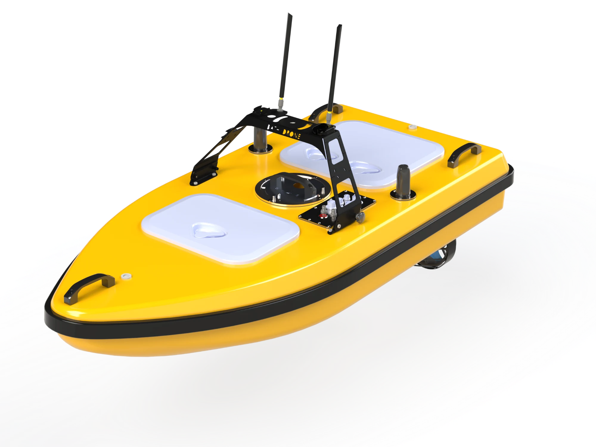
Versatile carbon fibre surface platform for hydrographic surveys: up to 10 kg of equipment, single-beam, dual-frequency and multibeam echosounders, ADCP and side-scan sonar.
Price on request
Sensors and accessories are selected to suit the task
Official manufacturer warranty · Training · Service in Lithuania
About the product

Description

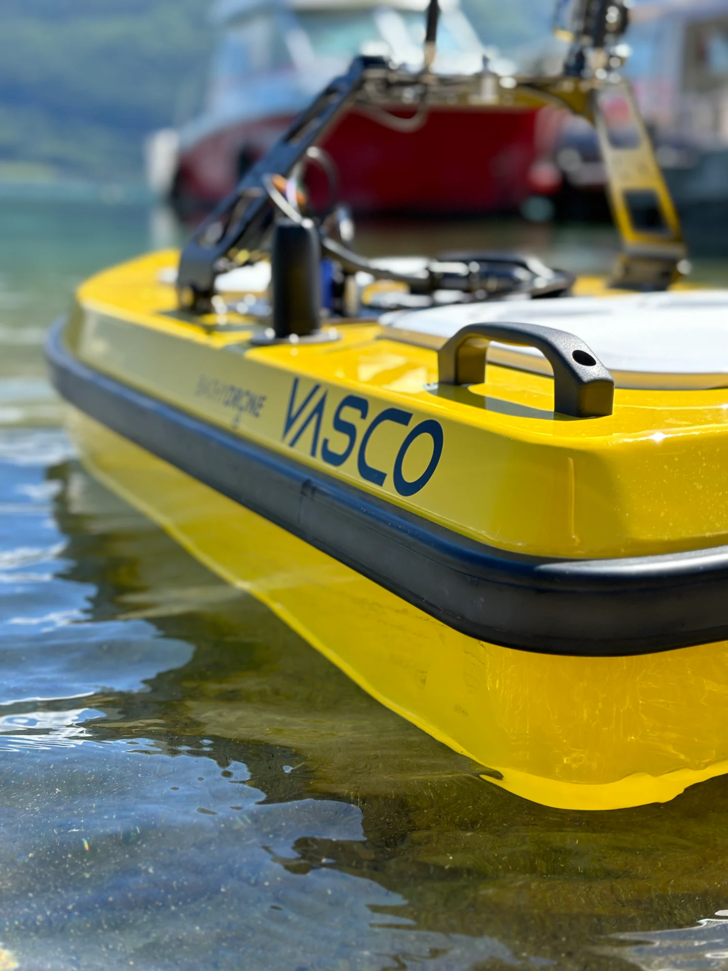
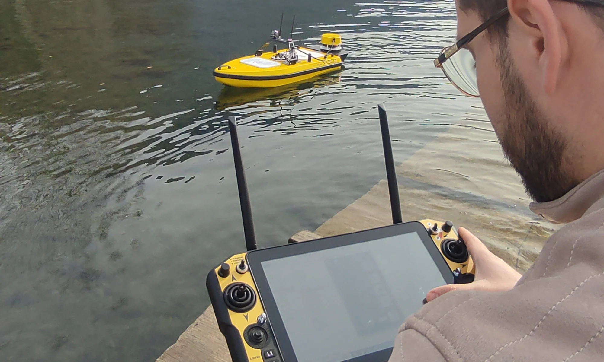
VASCO V2 is a surface drone compatible with a wide range of sensors: single-beam, dual-frequency and multibeam echosounders as well as ADCP probes. Sensors are easy to swap thanks to a pre-configured architecture. V2 is the natural evolution of the original VASCO: a new dual-antenna RTK GNSS system and a new radio module for better navigation, while missions can still be programmed from the shore. The design ensures stability on coastlines, in harbours, lakes and rivers; one operator can carry it and get it ready in under five minutes.
01

Modular sensor platform

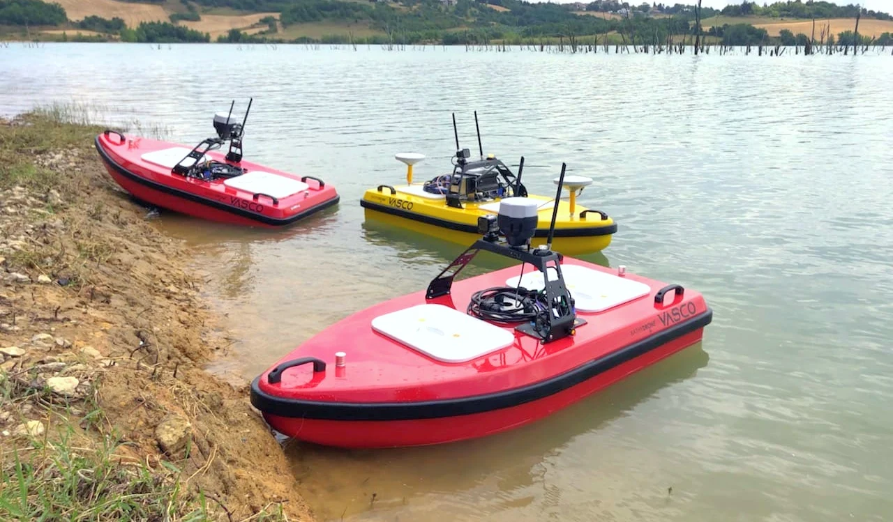
Carrying up to 10 kg of equipment, VASCO V2 can work with single-frequency (500 kHz or 200 kHz), dual-frequency (10–30 kHz and 200 kHz) and 256-beam multibeam echosounders with PICO MB-133 and inertial navigation, as well as a Starfish side-scan sonar. Complex equipment is mounted on an anodised aluminium frame, and the carbon fibre hull is light and strong.
Bathydrone VASCO V2
Bathydrone VASCO V2
02

Missions from the shore and extended navigation

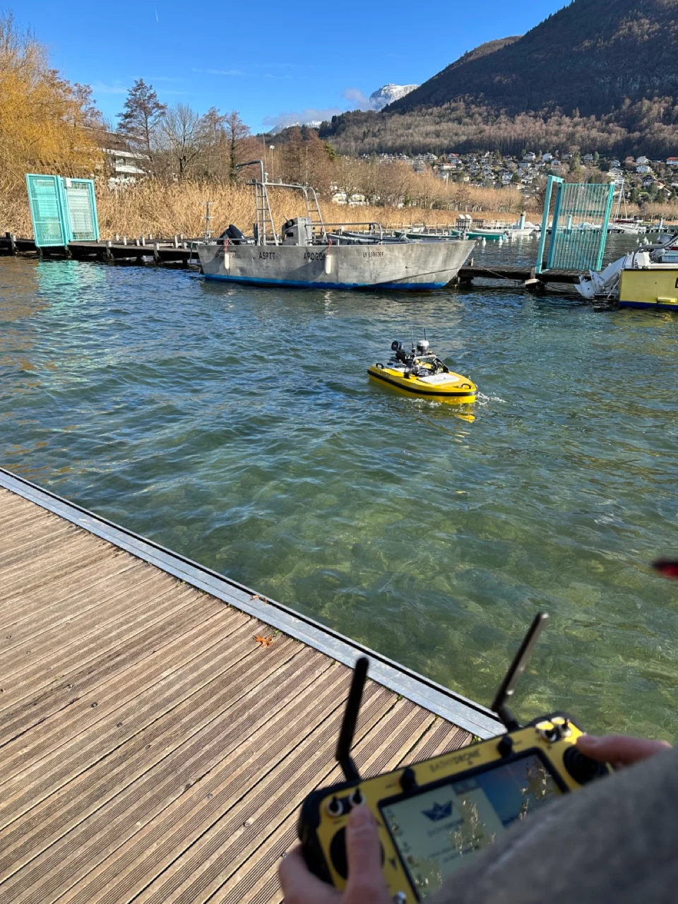
The Android remote controller works up to 2 km in open areas; an on-board Windows computer, 4G modem and a new Hydromagic version allow missions to be programmed directly. Two hot-swap LiPo 22 Ah batteries, a current and voltage probe with readings on the controller, a waterproof camera with GoPro mount and a light improve fieldwork.
03

Accessories for each mission

Options include: water sampler (20 samples of 14 ml), Xylem EXO 3S probe (temperature, conductivity, salinity, turbidity, pH, dissolved oxygen), Hovermap LiDAR (300 m range, over a million points/s), remotely controlled winch for instruments down to 30 m (e.g. Swift SVP), BathyLink for connecting a GNSS base or total station, an extra 6S 22 Ah battery and a custom hull colour.
Bathydrone VASCO V2
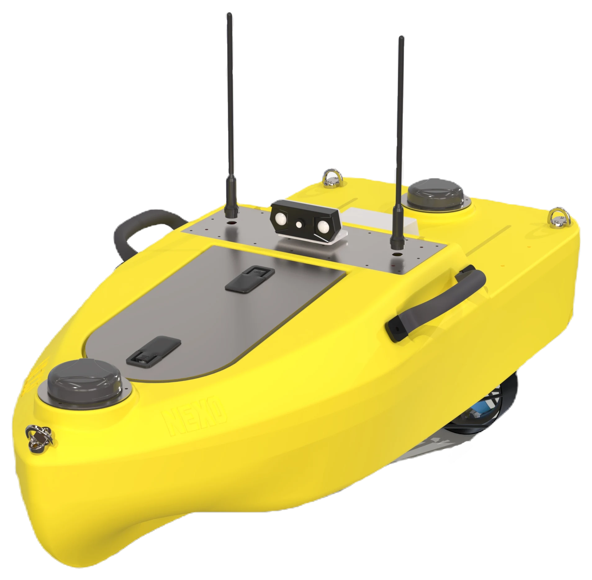
A more compact alternative for bathymetry in shallow waters – Bathydrone NEXO.
Specifications
Type
Autonomous surface vessel (ASV), Bathydrone range
Dimensions
150 × 69 × 42 cm (L × W × H, frame folded)
Weight
28 kg without batteries
Max. speed
3,6 m/s
Minimum water depth
20 cm (with single-beam echosounder)
Payload
10 kg
Hull
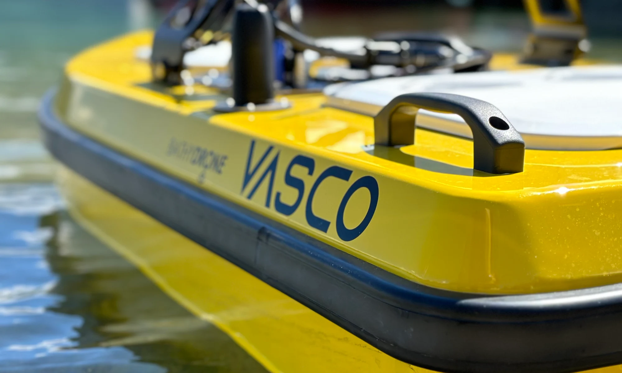
Carbon fibre, lacquered; anodised aluminium frame
Motors
2 brushless motors, redesigned propulsion
Control and navigation
Latest-generation autopilot, dual-antenna RTK GNSS; Android controller up to 2 km in open areas
On-board equipment
Windows computer, 4G modem, Hydromagic, current and voltage probe, waterproof camera with GoPro mount, light
Batteries
2 × LiPo 22 Ah, hot-swappable
Echosounders (optional)
Single-frequency 500 kHz or 200 kHz; dual-frequency 10–30 kHz + 200 kHz; 256-beam multibeam PICO MB-133
Side-scan
Starfish (Tritech)
Additional options
Extra 6S 22 Ah battery, BathyLink, winch (e.g. Swift SVP), Hovermap LiDAR, EXO 3S probe, water sampler, hull colour
In the box
3-wheel trolley, transport cover, carrying handles, charger
Documents and specifications
Documents are provided from official manufacturer sources and open in a new window.
Why Dronas.lt
Warranty terms are stated for each product.

Training included

We will help you get ready to work with the equipment.
Warranty service and repairs at the GeoNovus service centre in Vilnius.
Test the equipment before you decide.
Enquiry

Get a quote

Write to us — we will get in touch, confirm the configuration and send a commercial offer. No advance payment required.
Bathydrone VASCO V2
Product
Bathydrone VASCO V2
What happens next
1
We will contact you within 1 business day
2
We will discuss and confirm the configuration
3
We will send a commercial offer
Related products

You may also like

Bathydrone NEXO
ODAS Solutions
Compact autonomous surface drone for hydrographic surveys in rivers, lakes and coastal areas: single operator, ready in 2 min, dual-antenna RTK and operation from 15 cm water depth.
Price on request
DJI matrice 4T – vaizdas iš šono
DJI Enterprise
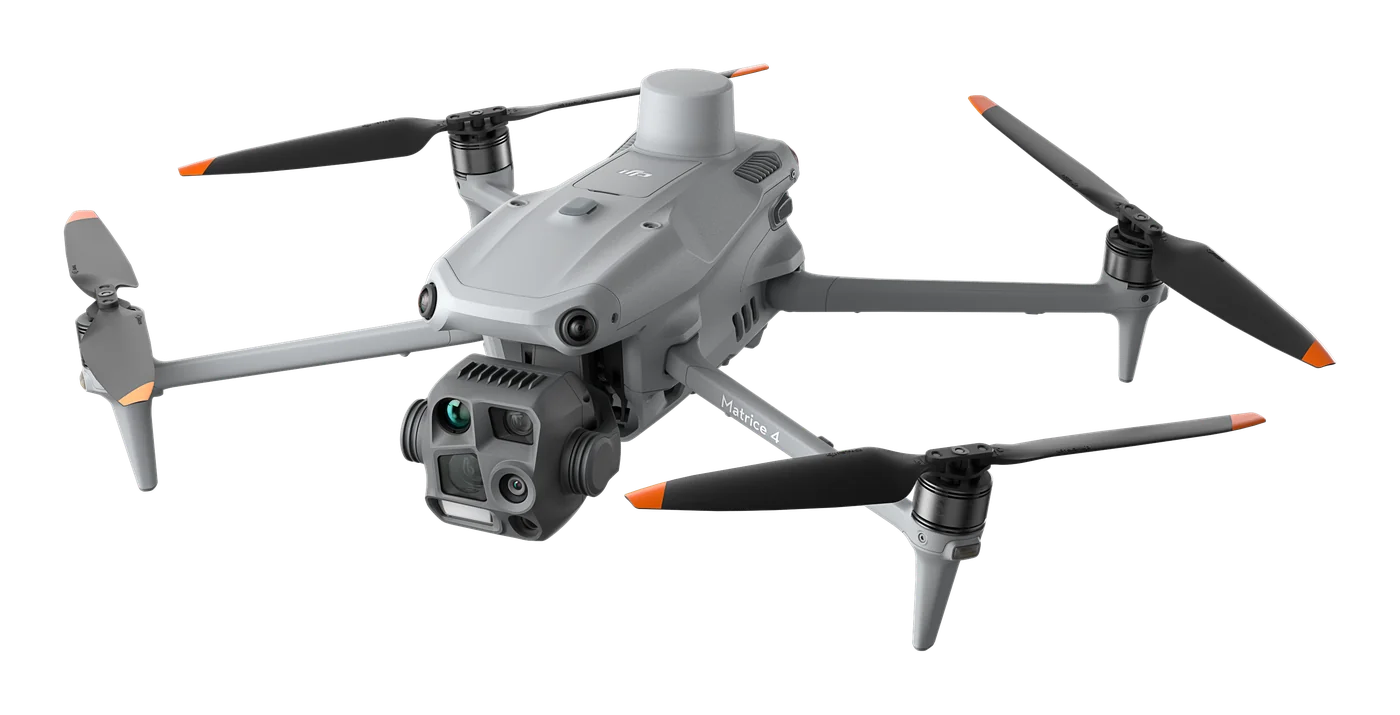
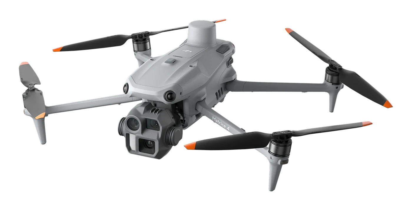
A thermal platform for when seeing heat matters: night-time search and rescue, thermal inspections of power lines and substations, solar plants and buildings. Six sensors, AI object recognition and up to 49 min flight time.
€6,890 incl. VAT
DJI matrice 4E – vaizdas iš šono
DJI Enterprise
Photogrammetry and mapping platform: RTK module, 3-direction orthophoto and 5-direction oblique capture, 0.5 s photo interval and up to 49 min flight time. For topography, construction, mining and 3D models.
€4,590 incl. VAT
Scroll to Top