Dronas.lt

ODAS Solutions · Unmanned surface vessels (USV)

Bathydrone NEXO

Compact autonomous surface drone for hydrographic surveys in rivers, lakes and coastal areas: single operator, ready in 2 min, dual-antenna RTK and operation from 15 cm water depth.
Price on request
Echosounders and accessories are selected to suit the task
Official manufacturer warranty · Training · Service in Lithuania
About the product

Description

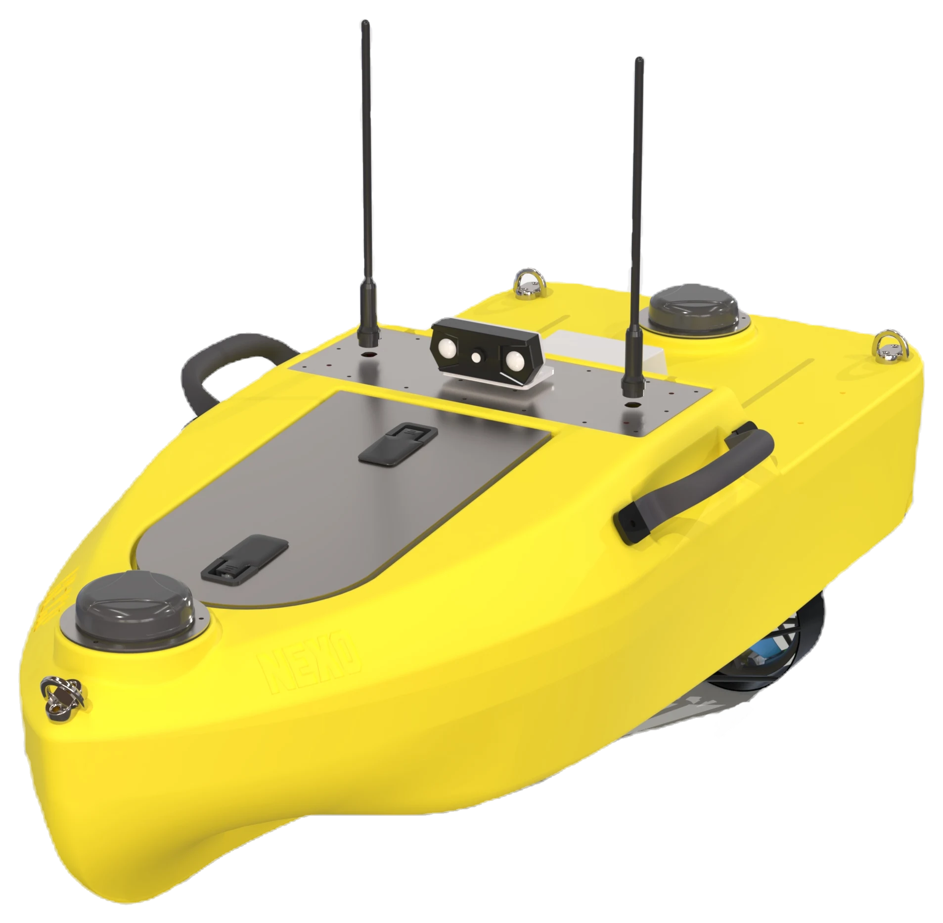
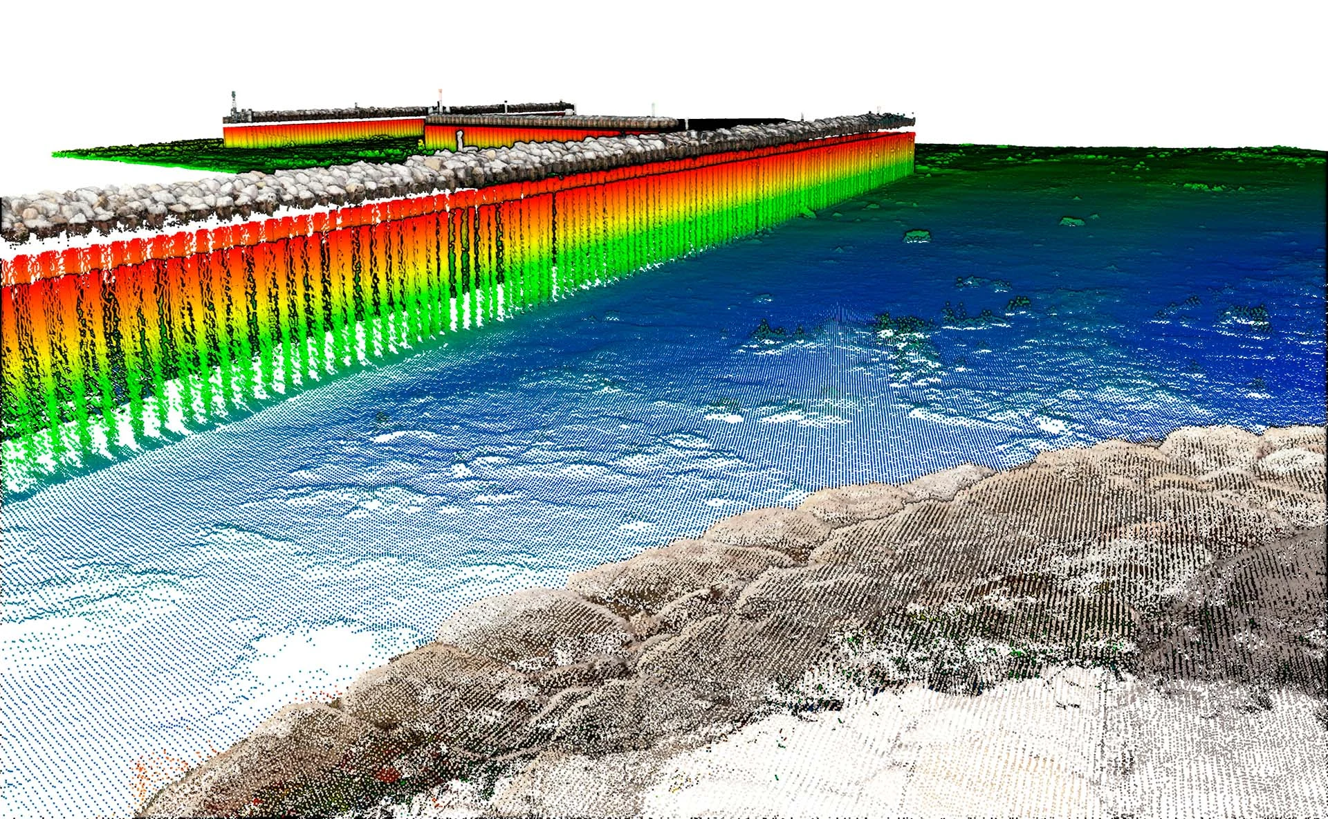
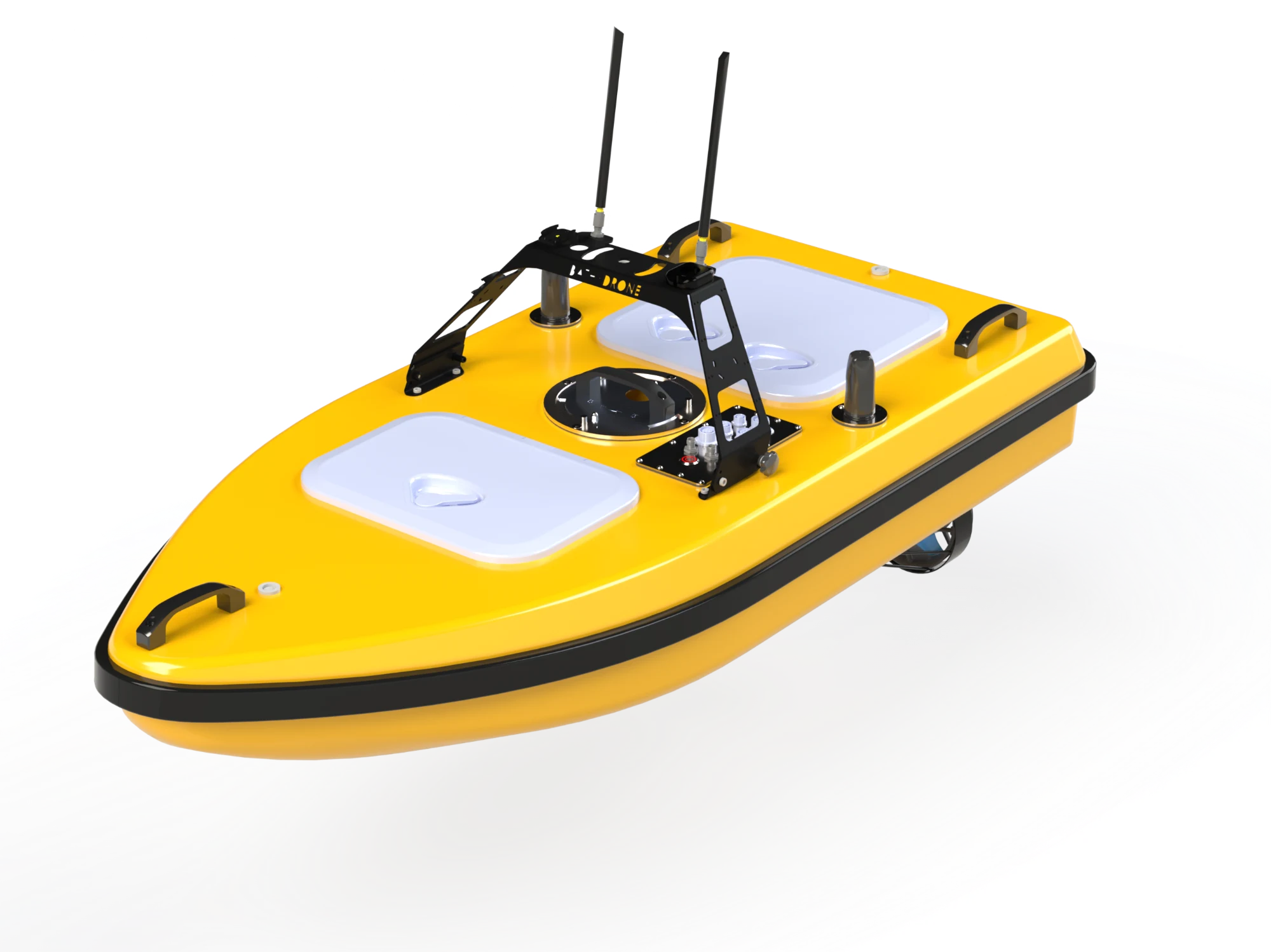
NEXO is a compact Bathydrone surface drone (ASV) for hydrographic surveys in rivers, lakes, coastal zones and confined areas. Dual-antenna RTK GNSS and a long-range radio link ensure precise navigation, and a single operator can get it ready in under 2 minutes. Missions are planned and data collected in a dedicated Android app, and data can be processed with a QGIS plugin.
01

One operator, 2 minutes to launch

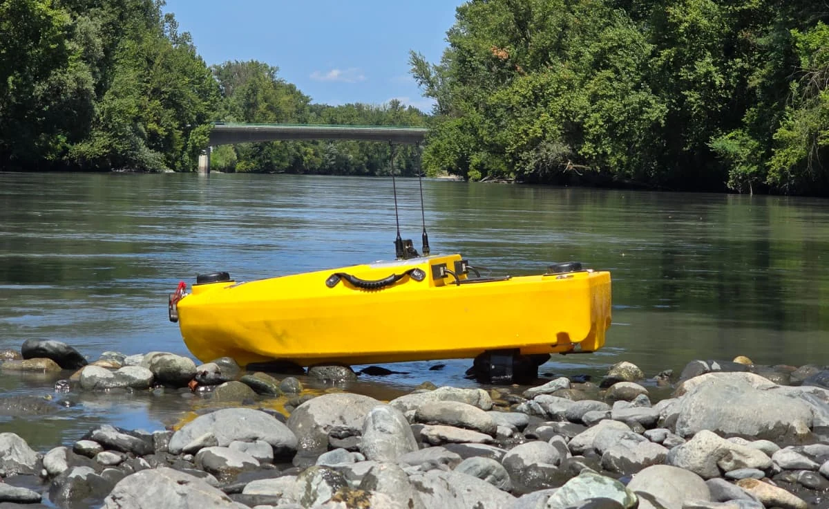
NEXO weighs about 20 kg (without battery), so one person can carry it to the water, and with the transport trolley and cover everything can be moved quickly. The rotomoulded hull is built for rugged, durable work, and its shallow draught (15 cm) allows work in shallow water. The manufacturer states that pilot training takes less than a day and software training 1–2 days.
Bathydrone NEXO
Bathydrone NEXO
02

Automatic missions and safe control

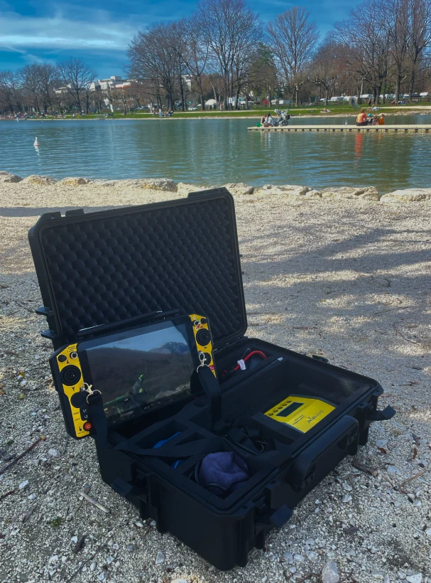
On the controller's Android screen (up to 2 km in open areas) you can draw the survey area – the app generates parallel survey lines automatically. Manual, automatic, position hold and return modes are available; if the radio link is lost, the drone stops and waits until the connection is restored. The Android app and QGIS plugin are supplied with no additional licence fee (export: LAS, LAZ, DXF, CSV, XYZ).
03

Bathymetry in rivers, lakes and reservoirs

NEXO is suitable for single-beam bathymetry and side-scan surveys. Available instruments: Tritech PA500, Airmar SS510, Unabara Z-AXIS (dual-frequency) echosounders and the Starfish side-scan sonar. Optional: extra battery and water sampler (20 slots).
Bathydrone NEXO
For a wider range of mission equipment (multibeam echosounder, ADCP, LiDAR) there is the larger model – Bathydrone VASCO V2.
Specifications
Type
Autonomous surface vessel (ASV), Bathydrone range
Dimensions
120 × 55 × 35 cm (L × W × H)
Weight
20 kg without battery
Max. speed
3,6 m/s
Minimum water depth
15 cm
Payload
5 kg
Theoretical operating time (with single-beam echosounder)
8 h @1 m/s; 3 h @2 m/s; 1 h @3 m/s; 0.5 h @3.6 m/s
Hull
Rotomoulded
Motors
2 brushless motors (differential thrust)
Autopilot and GNSS
ArduPilot autopilot; dual-antenna RTK GNSS
Controls
Android controller with a bright screen and the Bathydrone app, up to 2 km in open areas
Battery
33 Ah LiPo (6S, 22.2 V, 732.6 Wh), field-swappable in ~25 s without tools
Video
Front navigation camera
Instruments (optional)
Tritech PA500, Airmar SS510, Unabara Z-AXIS, Starfish side-scan sonar
In the box
Trolley, transport cover, charger, Android app and QGIS plugin
Documents and specifications
Documents are provided from official manufacturer sources and open in a new window.
Why Dronas.lt
Warranty terms are stated for each product.

Training included

We will help you get ready to work with the equipment.
Warranty service and repairs at the GeoNovus service centre in Vilnius.
Test the equipment before you decide.
Enquiry

Get a quote

Write to us — we will get in touch, confirm the configuration and send a commercial offer. No advance payment required.
Bathydrone NEXO
Product
Bathydrone NEXO
What happens next
1
We will contact you within 1 business day
2
We will discuss and confirm the configuration
3
We will send a commercial offer
Related products

You may also like

Bathydrone VASCO V2
ODAS Solutions
Versatile carbon fibre surface platform for hydrographic surveys: up to 10 kg of equipment, single-beam, dual-frequency and multibeam echosounders, ADCP and side-scan sonar.
Price on request
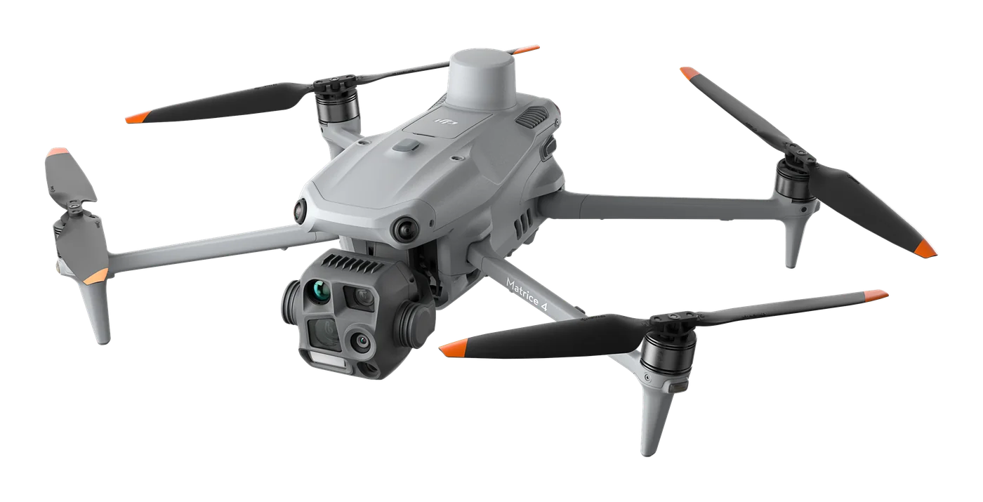
DJI matrice 4T – vaizdas iš šono
DJI Enterprise
A thermal platform for when seeing heat matters: night-time search and rescue, thermal inspections of power lines and substations, solar plants and buildings. Six sensors, AI object recognition and up to 49 min flight time.
€6,890 incl. VAT
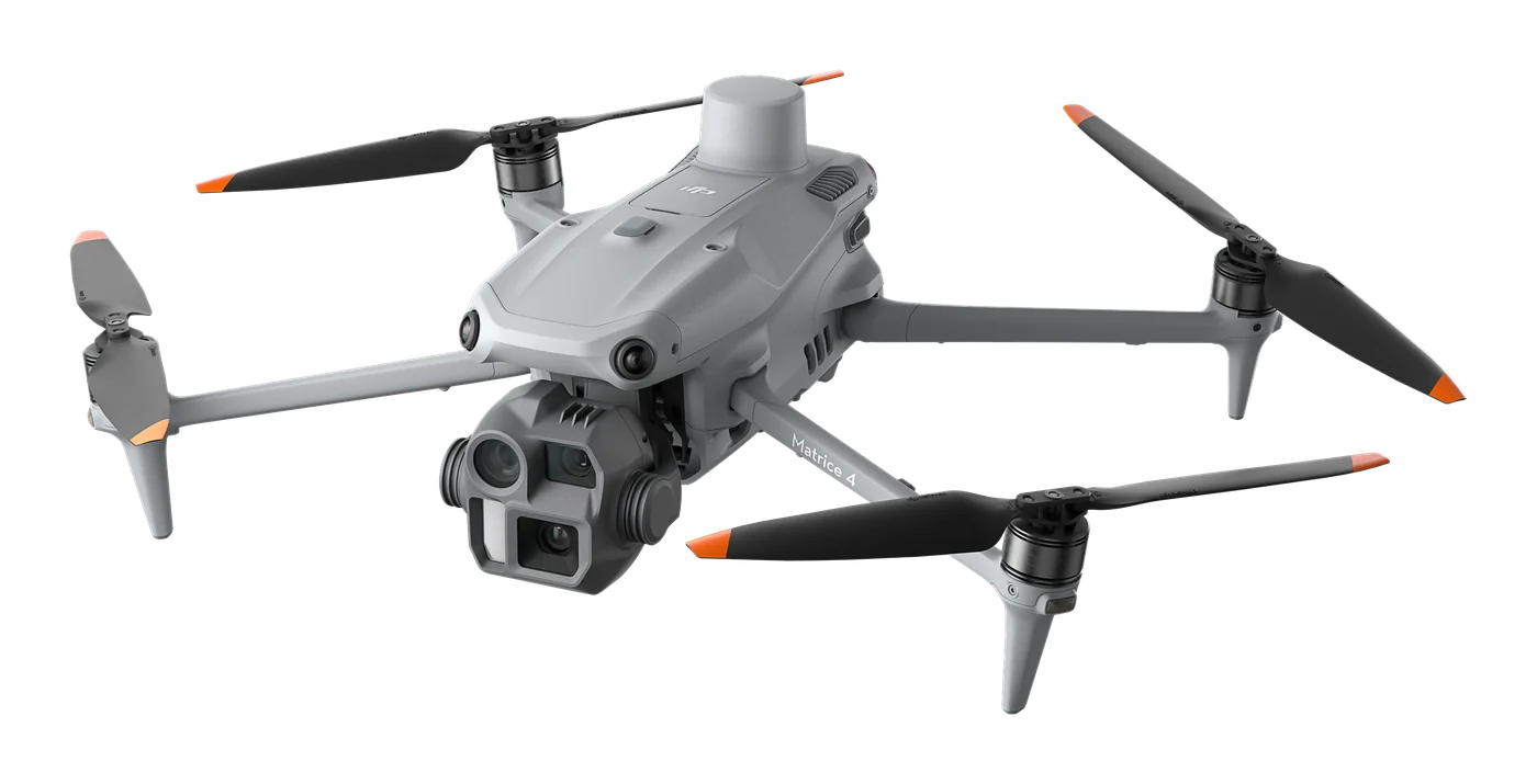
DJI matrice 4E – vaizdas iš šono
DJI Enterprise
Photogrammetry and mapping platform: RTK module, 3-direction orthophoto and 5-direction oblique capture, 0.5 s photo interval and up to 49 min flight time. For topography, construction, mining and 3D models.
€4,590 incl. VAT
Scroll to Top