Dronas.lt

Trimble · Software

Trimble Business Center (TBC)

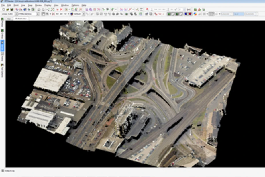
Surveying office software “from field to finish”: GNSS, total station, scanner and drone data in one project, while the Aerial Photogrammetry module creates colourised point clouds, orthomosaics and elevation rasters.
Price on request
Subscription or perpetual licence
Licensing · Training · Technical support
About the product

Description

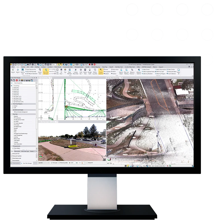
Trimble Business Center (TBC) is Trimble's office software that turns field data from GNSS receivers, total stations, laser scanners, mobile mapping systems and drones into client deliverables. Drone data is handled by the Aerial Photogrammetry module, and all other measurements can be combined in the same project – no unnecessary data export between programs. Key capabilities are listed below.
01

Drone imagery in TBC: the Aerial Photogrammetry module

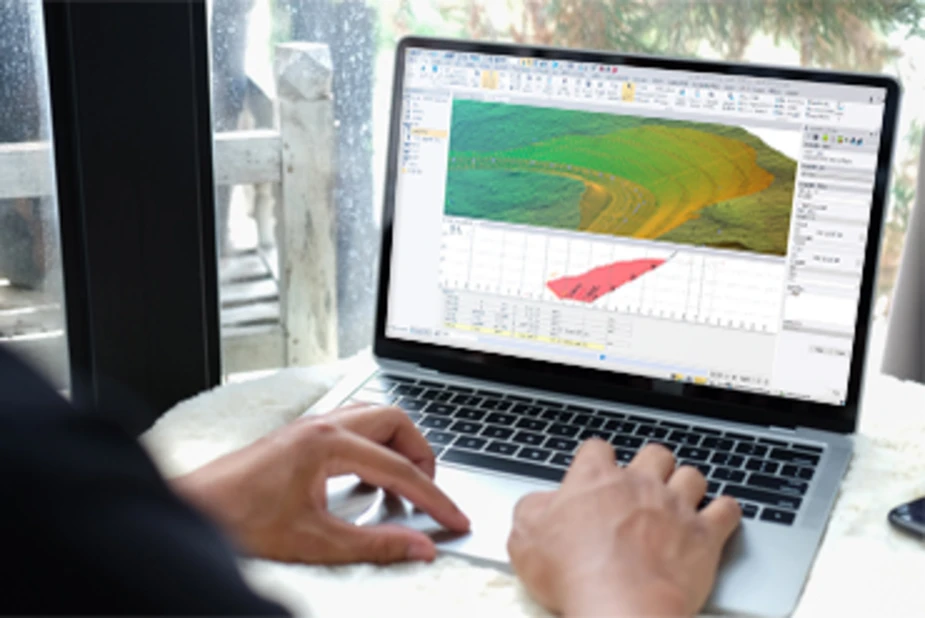
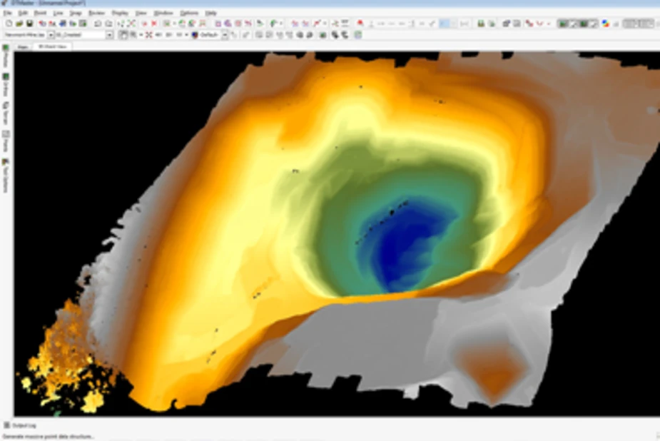
According to Trimble, TBC Aerial Photogrammetry supports raw data from third-party UAVs and creates colourised point clouds, orthomosaics and elevation rasters. The module processes both Trimble and third-party UAS data in TBC and Trimble Inpho UASMaster; when used together with UASMaster, surveying tools, survey equipment support and GNSS post-processing are added.
Trimble Business Center (TBC)
02

Point clouds and scanning

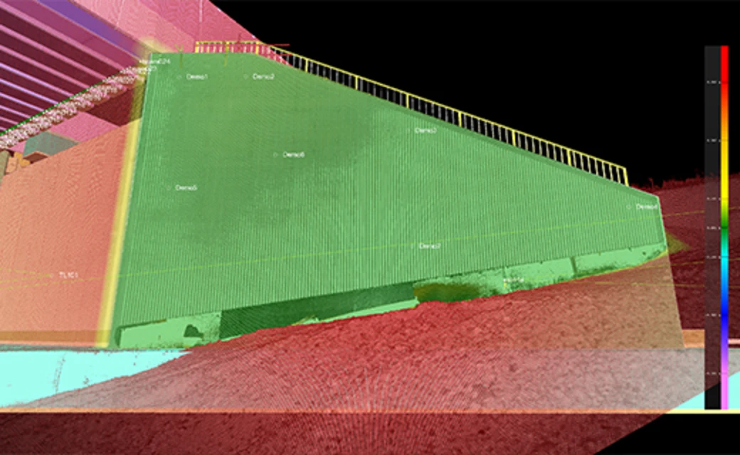
In TBC, point clouds can be classified, regions segmented and features extracted. Trimble states that large point clouds can be published to the Trimble Connect 3D viewer and streamed over the internet, with deliverables including classified point cloud regions and digital surfaces. For laser scanner data Trimble offers a separate Scanning module.
03

From field to report in one project

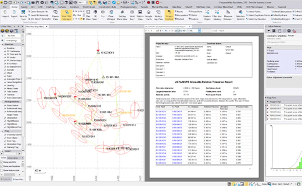
A single project can combine GNSS, total station, digital level, terrestrial scanning, UAV, mobile mapping and machine control data. Before export you can review and refine metadata, perform least-squares network adjustment or GNSS post-processing, and finally prepare adjustment reports, digital surfaces and exports in third-party formats (interfaces with Esri, Autodesk, Bentley).
Trimble Business Center (TBC) – darbas lauke
We help you choose the TBC edition and modules for your work (surveying, drone photogrammetry, scanning) and train you to use the software. Trimble offers a free trial and licensing by subscription (monthly or annual) or perpetual licence.
Specifications
Type
Surveying office software (Windows)
For drone data
Aerial Photogrammetry module: colourised point clouds, orthomosaics, elevation rasters; supports third-party UAV data
Adjustment
Least-squares network and traverse adjustment, GNSS post-processing (depends on edition)
Data sources
GNSS, total stations, digital levels, terrestrial scanners, UAV, mobile mapping, machine control
Editions
Viewer, Field Data, Surface Modeling, Survey Intermediate, Survey Advanced, Site Modeling, Site Construction, Infrastructure Construction
Modules
Aerial Photogrammetry, Scanning, GIS, Mobile Mapping, Monitoring, Tunneling, Roading, Mining, Utility Modeling and more (modules depend on version)
Licensing
Subscription (monthly or annual) or perpetual licence; free trial
System (per TBC 5.81 documentation)
Windows 10 / 11 (64-bit); for the Aerial Photogrammetry module – 32 GB RAM or more recommended, SSD (at least 100 GB required), graphics card with 8 GB or more; for point clouds – OpenGL 3.2 or later
Interfaces
Esri, Autodesk, Bentley; Trimble Access, Trimble Connect, Trimble Inpho UASMaster
Video

Our webinars and reviews

TBC training material for photogrammetry, point cloud and surface modelling modules

TBC 3.90 – short feature overview

TBC 3.90 – full feature overview

Source: our YouTube channel “GeoNovus – Trimble Lietuvoje”. The video loads only after you press “Play”.
Why Dronas.lt

Licensing and installation

We help you purchase a licence and get the software running.

Software training

We will teach you how to use the software.

Technical support

Help whenever questions or issues arise.
We can process your data for you.
Enquiry

Get a quote

Write to us — we will get in touch, confirm the configuration and send a commercial offer. No advance payment required.
Trimble Business Center (TBC)
Product
Trimble Business Center (TBC)
What happens next
1
We will contact you within 1 business day
2
We will discuss and confirm the configuration
3
We will send a commercial offer
Related products

You may also like

DJI FlightHub 2
DJI Enterprise
Mapping software: 2D/3D reconstruction from imagery, LiDAR data processing, 3D Gaussian Splatting and thermal maps with temperature measurement.
Price on request
DJI FlightHub 2
DJI Enterprise
Cloud drone management platform: remote control, flight planning, data analysis, automated workflows and integrations with third-party systems.
Price on request
PIX4Dmatic
Pix4D
Desktop photogrammetry and LiDAR software for large projects: point clouds, orthomosaics, 3D models, terrain classification and vector extraction in one application.
Price on request
Scroll to Top