Dronas.lt

Pix4D · Software

PIX4Dmatic

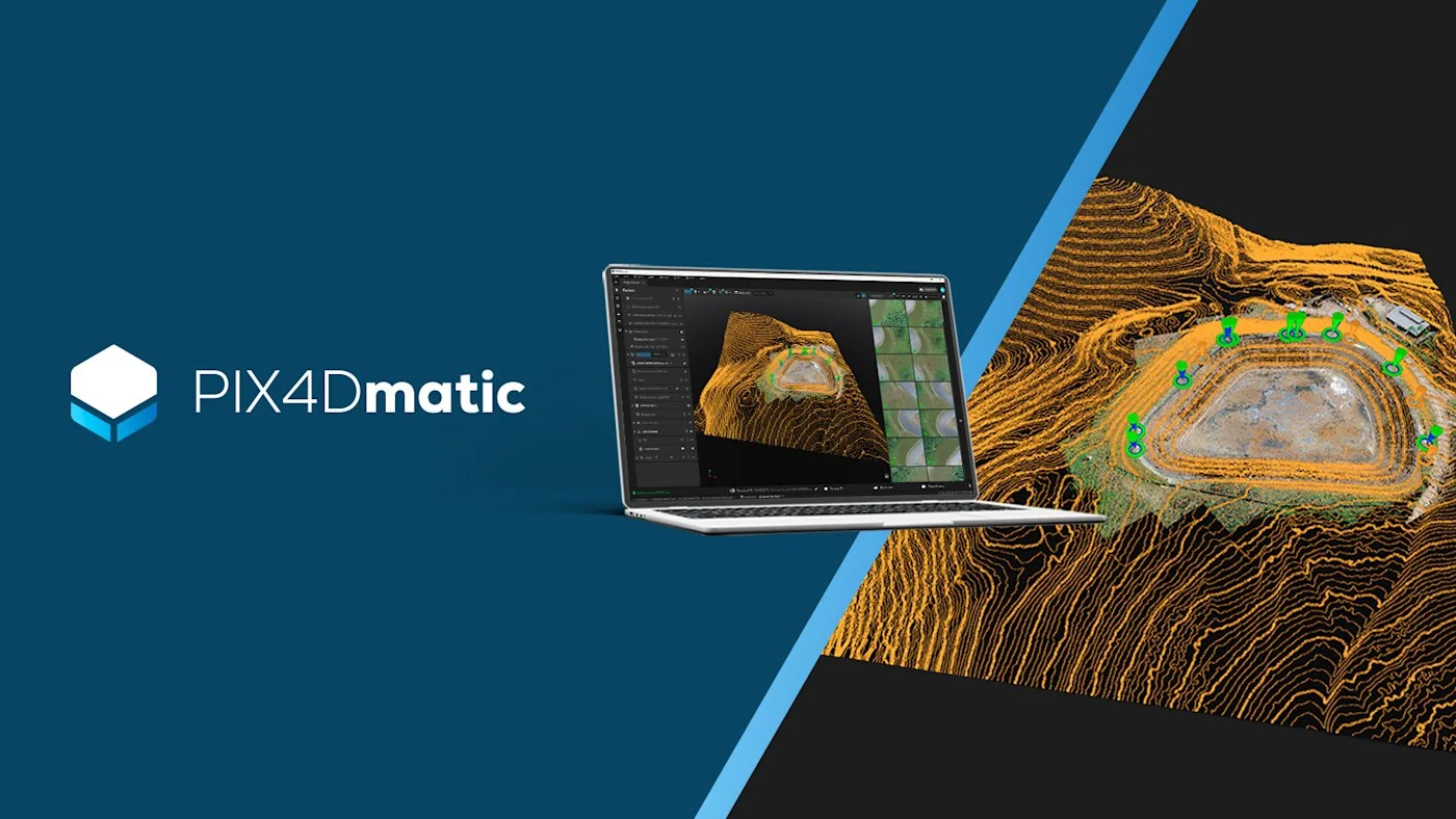
Desktop photogrammetry and LiDAR software for large projects: point clouds, orthomosaics, 3D models, terrain classification and vector extraction in one application.
Price on request
Licences – via the official Pix4D distributor
Official Pix4D distributor in the Baltic states · Licensing · Training · Support
About the product

Description

PIX4Dmatic is Pix4D's desktop software for turning drone, terrestrial, PIX4Dcatch and LiDAR data into survey-grade outputs. It is designed for large projects, and recent versions also bring the former PIX4Dsurvey functionality – terrain classification and vector extraction – into a single workflow. Key capabilities are listed below.
01

Large projects and point clouds

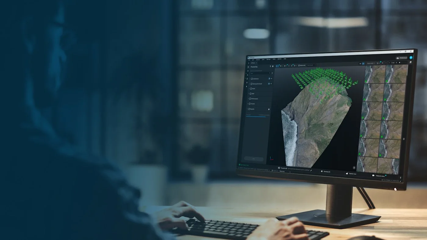
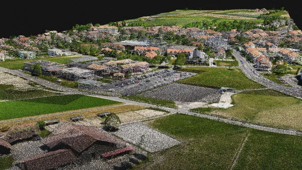
PIX4Dmatic is designed for large image sets collected over several flights – thousands of images in one project. The result is a dense point cloud that can be exported in LAZ, LAS 1.2 / 1.4 and XYZ formats and used in other surveying or CAD software.
PIX4Dmatic
PIX4Dmatic
02

Orthophotos and elevation models (DSM, DTM)

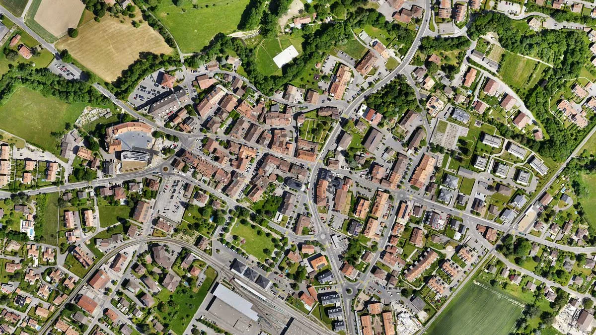
Images produce a georeferenced orthomosaic (GeoTIFF, JPG with JGW, TFW, PRJ) and digital surface and terrain models (DSM, DTM, GeoTIFF). The new orthophoto editor (version 1.54) lets you remove unwanted objects or artefacts.
03

3D mesh and Gaussian Splatting

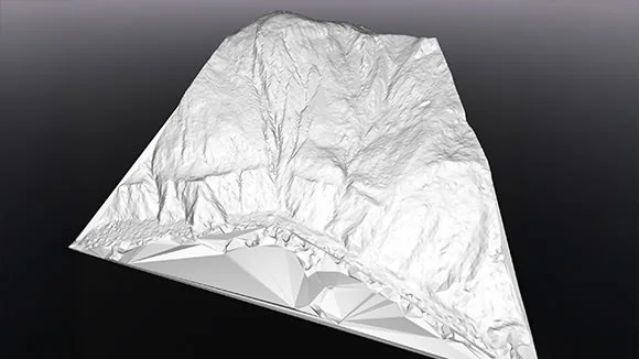
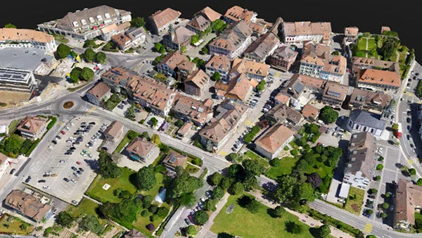
From the same project you can create a 3D mesh model (OBJ, SLPK, Cesium 3D Tiles, LAZ, FBX) and a 3D Gaussian Splatting model (PLY) – suitable for visualisation, documentation and sharing with the client.
PIX4Dmatic
PIX4Dmatic
04

Terrain classification and DTM

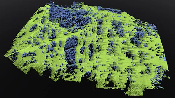
Point clouds are automatically classified (LAS / LAZ), separating ground from buildings, vegetation and other objects. This yields a more accurate terrain model for topographic tasks and volume calculations.
05

TIN, contours and point grid

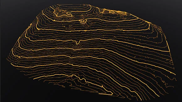
From the terrain surface a TIN (LandXML, GeoTIFF), contours and a point grid (DXF, SHP) are created. The vector data is immediately ready for design, GIS and survey reports.
PIX4Dmatic
Dronas.lt is the official Pix4D distributor in the Baltic states. We help you choose the right PIX4Dmatic licensing option (the manufacturer offers modular access: high-accuracy 3D processing, terrain classification and vector extraction, or a fully integrated version), install it and train you to use the software. Pix4D also offers a trial version – contact us and we will help you get it.
Working with a drone or LiDAR? Choose equipment in the section Unmanned aircraft and Sensors.
Specifications
Type
Desktop photogrammetry and LiDAR software
Input data
Aerial and terrestrial images, PIX4Dcatch, LiDAR
Point clouds
LAZ, LAS 1.2 / 1.4, XYZ
Orthophoto
GeoTIFF, JPG + JGW, TFW, PRJ
DSM / DTM
GeoTIFF
3D mesh
OBJ, SLPK, Cesium 3D Tiles, LAZ, FBX
Gaussian Splatting
PLY
Vectors
TIN (LandXML, GeoTIFF), contours and point grid (DXF, SHP)
Accuracy (according to the manufacturer)
1–2 GSD (X, Y) and 1–3 GSD (Z)
Interface languages
EN, DE, FR, ES, PT, CS, UK, TR, JA, KO, ZH
Video

Our webinars and reviews

PIX4Dmatic – basic training material

Source: our YouTube channel “GeoNovus – Trimble Lietuvoje”. The video loads only after you press “Play”.
Why Dronas.lt

Licensing and installation

We help you purchase a licence and get the software running.

Software training

We will teach you how to use the software.

Technical support

Help whenever questions or issues arise.
We can process your data for you.
Enquiry

Get a quote

Write to us — we will get in touch, confirm the configuration and send a commercial offer. No advance payment required.
PIX4Dmatic
Product
PIX4Dmatic
What happens next
1
We will contact you within 1 business day
2
We will discuss and confirm the configuration
3
We will send a commercial offer
Related products

You may also like

PIX4Dfields
Pix4D
Agricultural software for drone and satellite data: crop health analysis, zoning and spray maps – processed locally on your computer.
Price on request
PIX4Dcloud
Pix4D
Online platform for processing drone and ground data, monitoring and documenting sites – work with your team in one place, with no user limits.
Price on request
PIX4Dreact
Pix4D
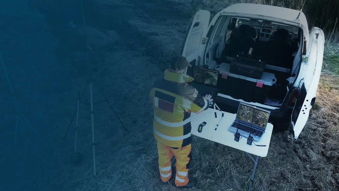
Rapid 2D mapping software for rescue services and public safety: a map in minutes, processed locally on a computer, no internet needed.
Price on request
Scroll to Top