Dronas.lt

DJI Enterprise · Unmanned aircraft

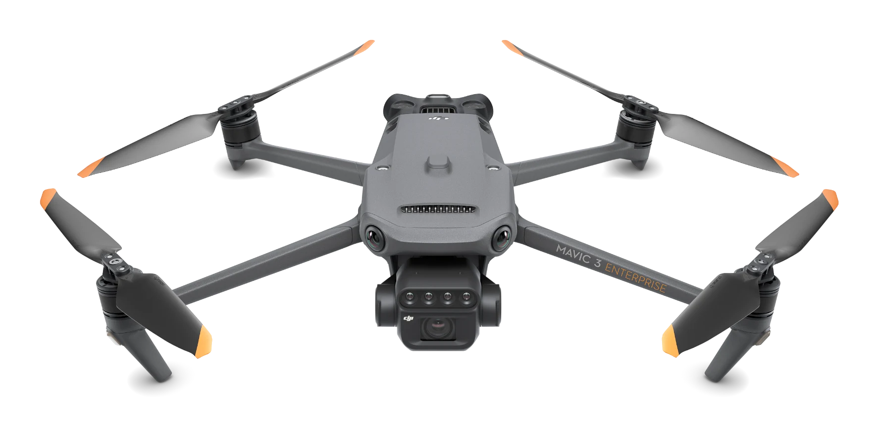
DJI Mavic 3 Multispectral

Drone for precision agriculture and vegetation monitoring: 20 MP RGB camera, four-band multispectral camera, sunlight sensor and RTK. Up to 43 min flight time.
Buy online
4 295 € incl. VAT
  • DJI Mavic 3 Multispectral drone x1
  • DJI Mavic 3 Enterprise RTK module x1
  • DJI Mavic 3 Enterprise Intelligent Battery x1
  • DJI RC Pro remote controller x1
  • DJI Mavic 3 Enterprise propellers x6
  • MicroSD card 64GB x1
  • Camera protector x1
  • USB-C power adapter (100 W) x1
  • Charging cables x2
  • Screwdriver x1
  • Protective case x1
  • Manual x1
Free delivery in Lithuania · Payment by bank transfer · Includes 2-year warranty and 1 year of DJI Care Enterprise
Official manufacturer warranty · Training · Service in Lithuania
About the product

Description

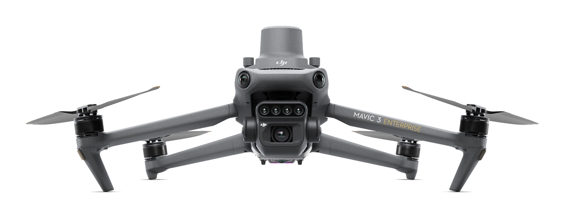
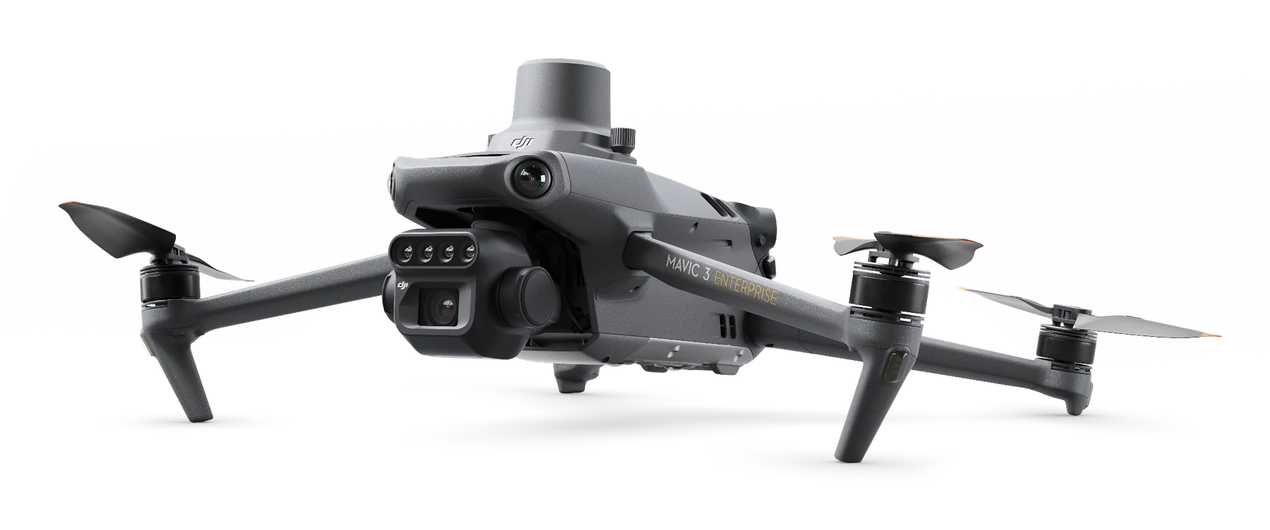
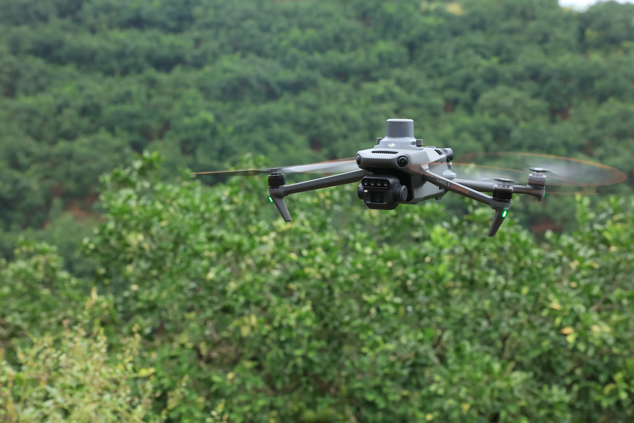
Mavic 3 Multispectral is a compact, foldable platform for crop and vegetation monitoring. In addition to a 20 MP RGB camera with a mechanical shutter, it has four 5 MP multispectral cameras and a sunlight sensor, so a single flight collects data for vegetation indices, vegetation maps and fertilisation and crop protection planning. The aircraft weighs 951 g (with propellers and RTK module).
01

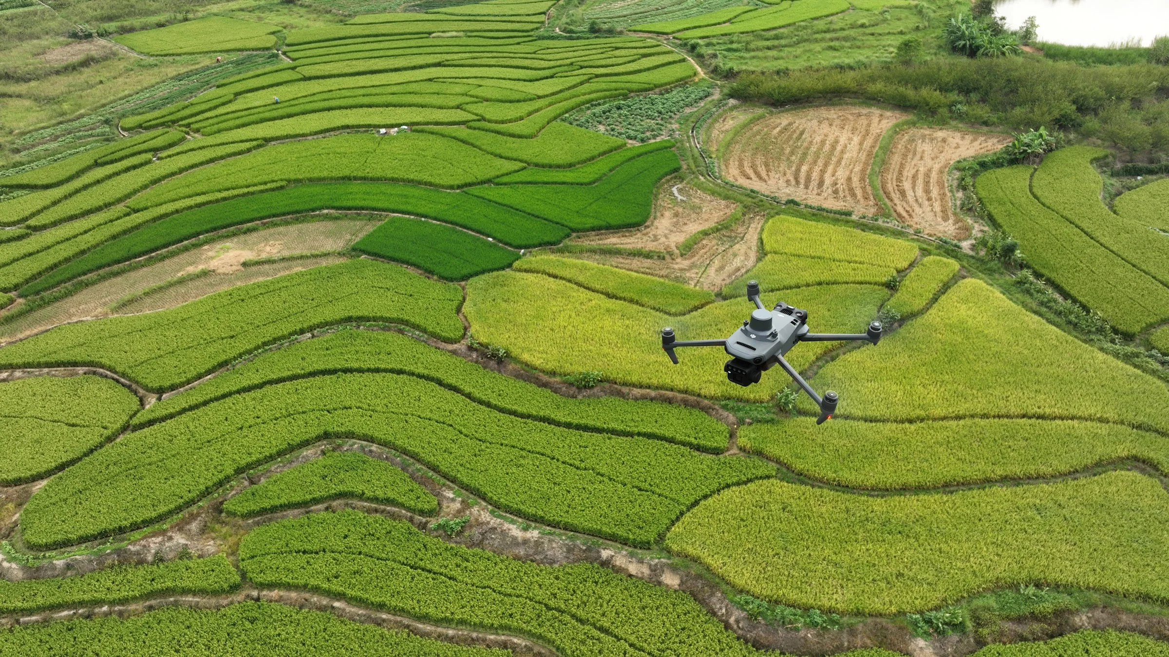
Crop health from above: vegetation indices

The multispectral cameras capture four bands – green (560 nm), red (650 nm), red edge (730 nm) and near-infrared (860 nm). From these, vegetation indices (e.g. NDVI) are calculated that show plant health and stress before it becomes visible to the eye. DJI specifies coverage of up to 200 ha per flight (depending on altitude and conditions).
DJI Mavic 3 Multispectral
02

Accurate maps: RTK and time synchronisation

The integrated sunlight sensor records changes in illumination and allows data to be corrected at different times of day or cloud cover. The RTK module (fixed-solution accuracy 1 cm + 1 ppm horizontal and 1.5 cm + 1 ppm vertical) and microsecond synchronisation of image and position timestamps reduce the number of ground control points needed. Suitable for fields, orchards, vineyards and forest monitoring.
03

From flight to decision in the field

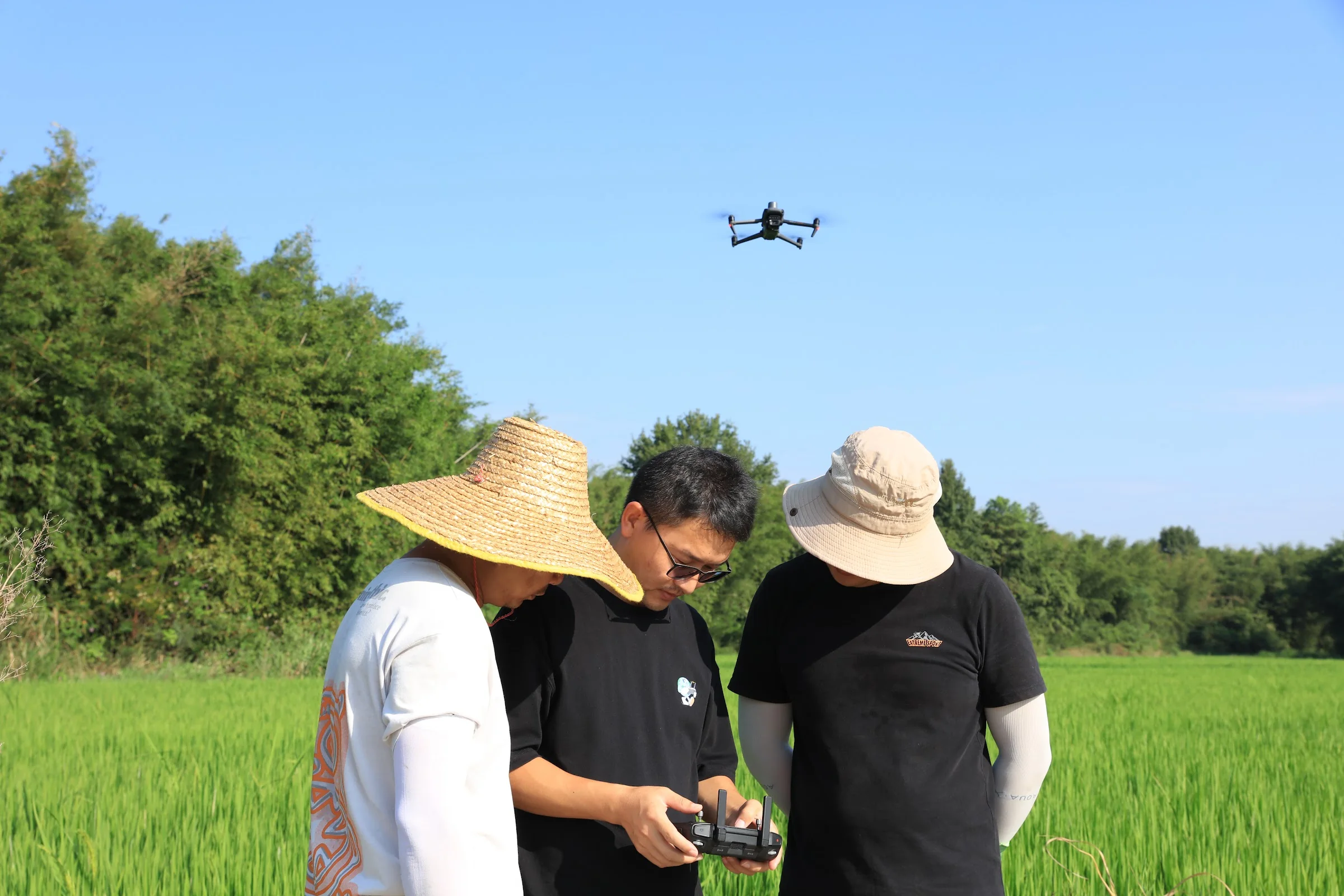
Missions are planned and drone data monitored on the DJI RC Pro Enterprise controller (5.5″, 1,000 nits). Multispectral images are saved in TIFF format, so they can be processed with specialised software such as PIX4Dfields or DJI Terra, producing vegetation maps for farmers, agronomists and researchers.
DJI Mavic 3 Multispectral
Specifications
Max. flight time
43 min (hover up to 37 min)
Weight
951 g (with propellers and RTK module); max. take-off weight 1050 g
Dimensions (folded / unfolded)
223×96.3×122.2 mm / 347.5×283×139.6 mm
RGB camera
4/3 CMOS, 20 MP, mechanical shutter 8–1/2000 s, 84° FOV, 24 mm equivalent, ISO 100–6400, 5280×3956, JPEG / DNG
Multispectral camera
1/2.8″ CMOS, 4 × 5 MP, 73.91° FOV, 25 mm equivalent, f/2.0, fixed focus, 2592×1944, TIFF
Spectral bands
green 560 ± 16 nm; red 650 ± 16 nm; red edge 730 ± 16 nm; near-IR 860 ± 26 nm
Multispectral camera shutter
1/30–1/12 800 s
Sunlight sensor
integrated, for irradiance data correction
RTK accuracy (fixed solution)
1 cm + 1 ppm (horizontal); 1.5 cm + 1 ppm (vertical)
Battery
5000 mAh, 77 Wh, 335.5 g
Video transmission
up to 15 km (FCC)
Remote controller
DJI RC Pro Enterprise, 5.5″, 1,000 nits
Documents and specifications
Documents are provided from official manufacturer sources and open in a new window.
Why Dronas.lt
Warranty terms are stated for each product.

Training included

We will help you get ready to work with the equipment.
Warranty service and repairs at the GeoNovus service centre in Vilnius.
Test the equipment before you decide.
Enquiry

Get a quote

Write to us — we will get in touch, confirm the configuration and send a commercial offer. No advance payment required.
DJI mavic 3M main
Product
DJI Mavic 3 Multispectral
What happens next
1
We will contact you within 1 business day
2
We will discuss and confirm the configuration
3
We will send a commercial offer
Related products

You may also like

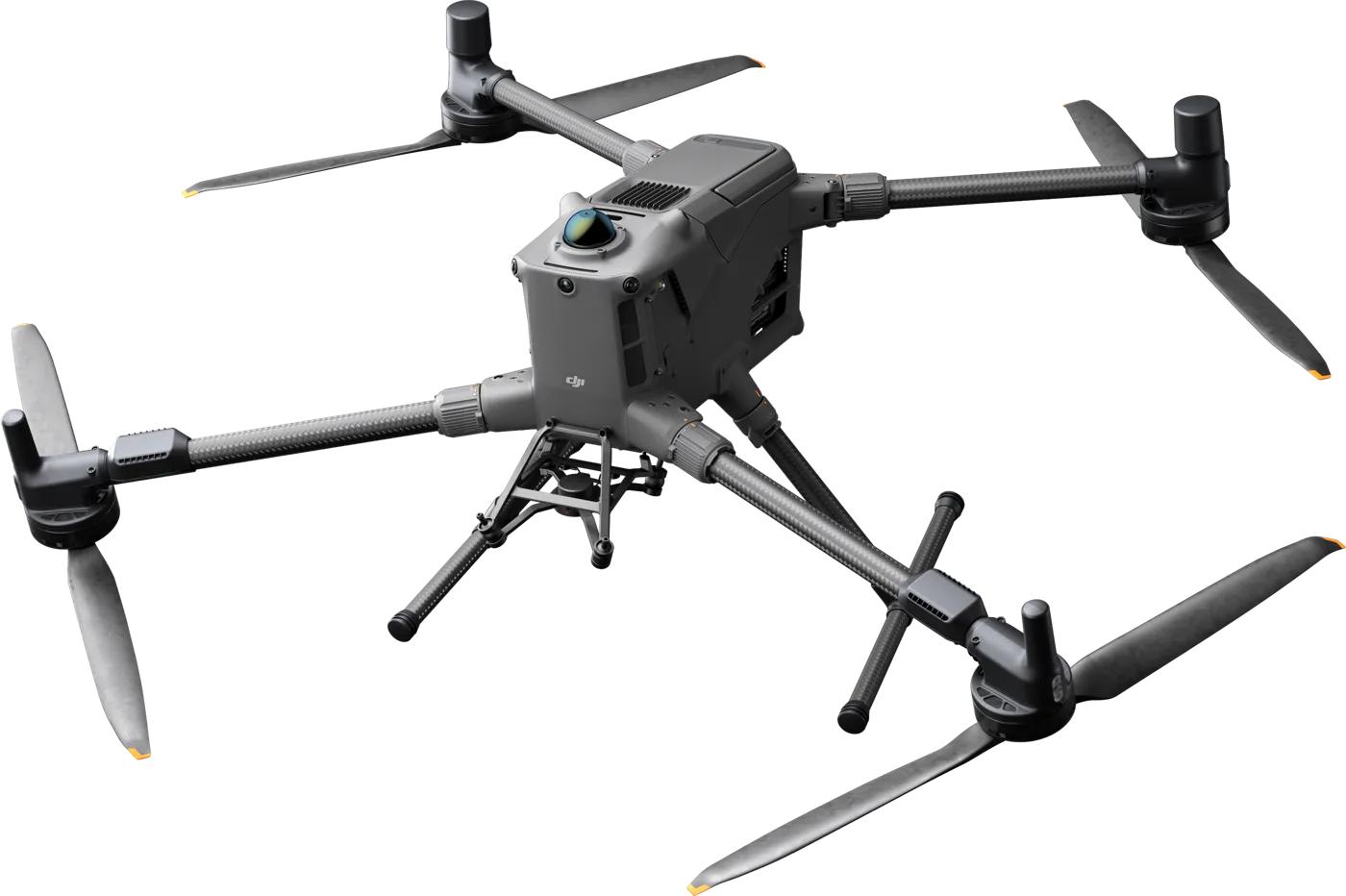
DJI matrice 4T – vaizdas iš šono
DJI Enterprise
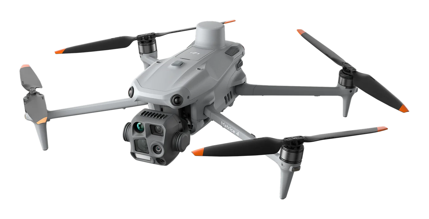
A thermal platform for when seeing heat matters: night-time search and rescue, thermal inspections of power lines and substations, solar plants and buildings. Six sensors, AI object recognition and up to 49 min flight time.
€6,890 incl. VAT
DJI matrice 4E – vaizdas iš šono
DJI Enterprise
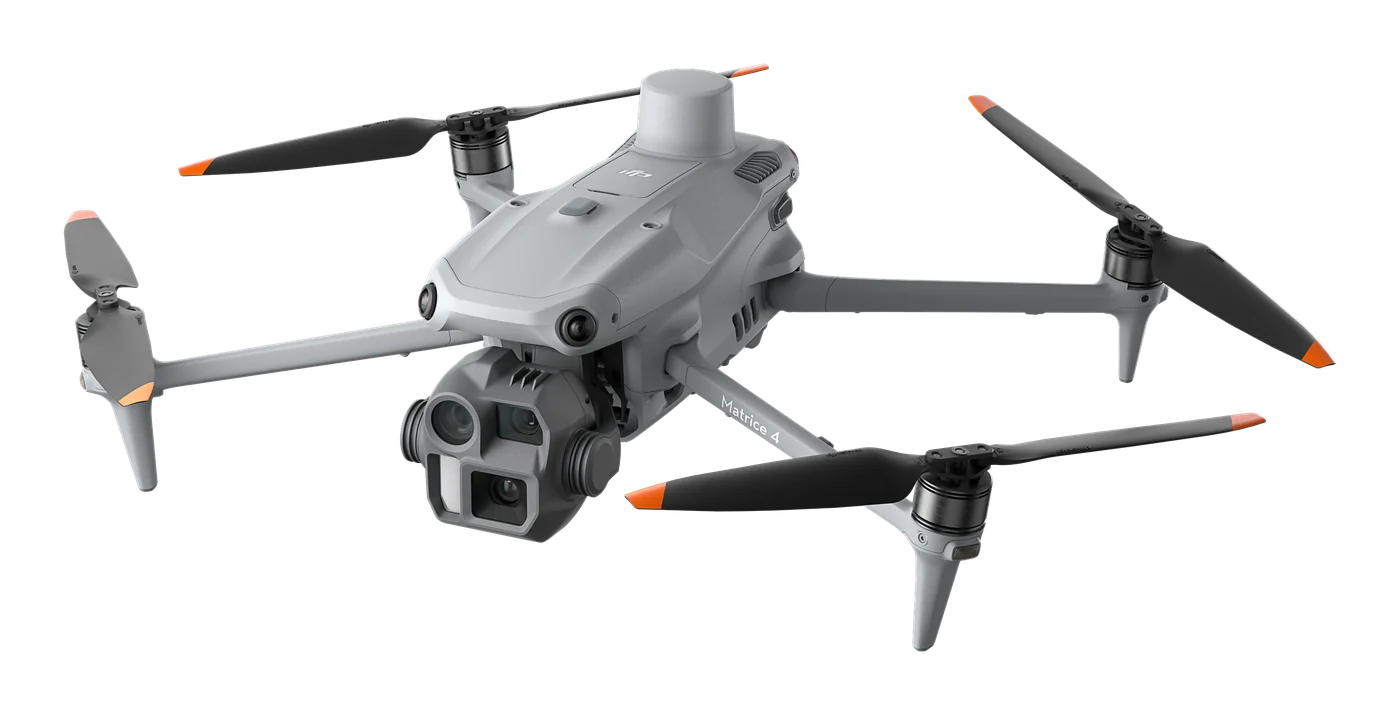
Photogrammetry and mapping platform: RTK module, 3-direction orthophoto and 5-direction oblique capture, 0.5 s photo interval and up to 49 min flight time. For topography, construction, mining and 3D models.
€4,590 incl. VAT
DJI matrice 400 – vaizdas iš šono
DJI Enterprise
Long-endurance flagship platform: up to 59 min flight with payload, 6 kg payload capacity, up to 7 sensors at once and obstacle detection that recognises even high-voltage wires. For power grid and infrastructure inspections, LiDAR mapping, search and rescue.
€9,559 incl. VAT
Scroll to Top