Dronas.lt

Pix4D · Software

PIX4Dfields

Agricultural software for drone and satellite data: crop health analysis, zoning and spray maps – processed locally on your computer.
Price on request
Licensing options – on request
Official Pix4D distributor in the Baltic states · Licensing · Training · Support
About the product

Description

PIX4Dfields is Pix4D software for agronomists, farmers and agricultural service providers. Drone or satellite imagery is turned into easy-to-read maps: crop health, anomalies, zones and machine-ready files. Data is processed on your computer, so there is no waiting for the cloud or an internet connection in the field.
01

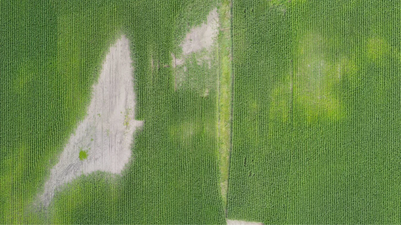
Vegetation indices and crop health

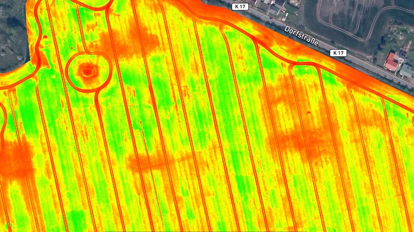
Vegetation indices are calculated from drone or satellite imagery – you see which parts of the field are developing better or worse. This helps spot problems faster and check them in the field instead of driving around the whole area.
PIX4Dfields
PIX4Dfields
02

Zoning and variable rate maps

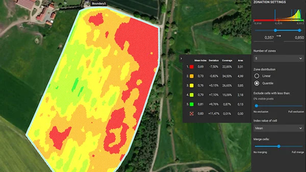
The field can be divided into zones and variable rate application (VRA) prescription maps created for fertiliser or spraying. Ready files are exported to machinery, with ISOXML support and a connection to John Deere Operations Center.
03

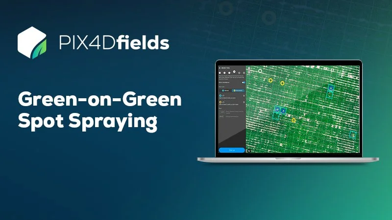
Weed detection and targeted spraying

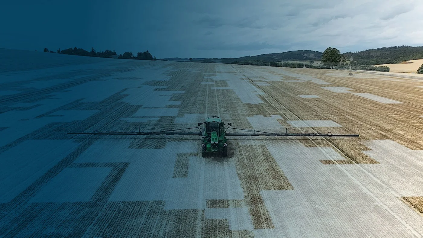
The Magic tool detects weeds against a green background (Green-on-Green) and prepares a targeted spray map – only problem areas are sprayed. DJI, XAG, Top Gun, EAVision and ABZ Innovation solutions are supported.
PIX4Dfields
PIX4Dfields
04

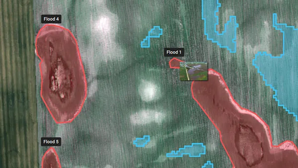
Anomaly detection and reports

Mark problem areas, measure their size and create a PDF report – for yield insights, insurance cases or client communication. Results can be shared via PIX4Dcloud.
05

Boundaries, measurements and trial plots

Draw field boundaries, measure areas and lengths, count plants and manage trial plots – all in the same application.
PIX4Dfields
Dronas.lt is the official Pix4D distributor in the Baltic states. We help you choose a PIX4Dfields licence, match it to your drone and agricultural machinery, and train you to use the software. Pix4D also offers a trial version – contact us and we will help you get it.
Equipment suitable for agriculture can be found in the section Unmanned aircraft.
Specifications
Type
Software for analysing agricultural drone and satellite data
Processing
Locally on a computer (Windows, macOS)
Analysis
Vegetation indices, zoning, anomalies
Maps for machinery
VRA and targeted spray maps, ISOXML, John Deere Operations Center
Weeds
Magic tool (Green-on-Green)
Measurements
Boundaries, areas, lengths, plant counting, trial plots
Reports
PDF (yield insights, insurance); sharing via PIX4Dcloud
Interface languages
EN, DE, FR, ES, PT, IT, CS, HU, RU, JA, ZH
Why Dronas.lt

Licensing and installation

We help you purchase a licence and get the software running.

Software training

We will teach you how to use the software.

Technical support

Help whenever questions or issues arise.
We can process your data for you.
Enquiry

Get a quote

Write to us — we will get in touch, confirm the configuration and send a commercial offer. No advance payment required.
PIX4Dfields
Product
PIX4Dfields
What happens next
1
We will contact you within 1 business day
2
We will discuss and confirm the configuration
3
We will send a commercial offer
Related products

You may also like

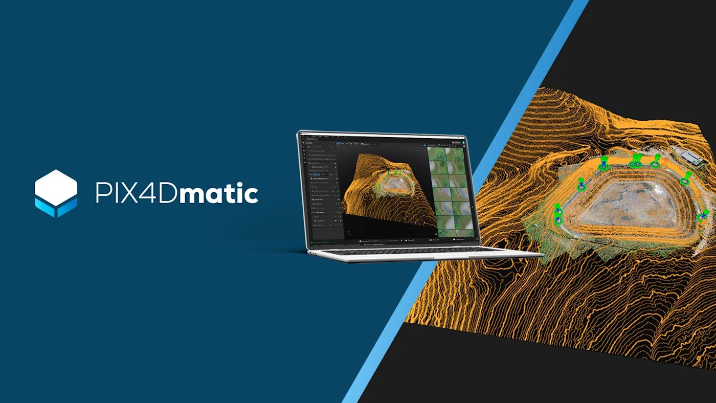
PIX4Dmatic
Pix4D
Desktop photogrammetry and LiDAR software for large projects: point clouds, orthomosaics, 3D models, terrain classification and vector extraction in one application.
Price on request
PIX4Dcloud
Pix4D
Online platform for processing drone and ground data, monitoring and documenting sites – work with your team in one place, with no user limits.
Price on request
PIX4Dreact
Pix4D
Rapid 2D mapping software for rescue services and public safety: a map in minutes, processed locally on a computer, no internet needed.
Price on request
Scroll to Top