Dronas.lt

Pix4D · Software

PIX4Dreact

Rapid 2D mapping software for rescue services and public safety: a map in minutes, processed locally on a computer, no internet needed.
Price on request
Licensing options – on request
Official Pix4D distributor in the Baltic states · Licensing · Training · Support
About the product

Description

PIX4Dreact is Pix4D software developed together with rescue services for when speed matters most. Within minutes of the flight you get a 2D map that you can annotate, measure and share with operation command. Processing runs on your computer, so it works without internet too.
01

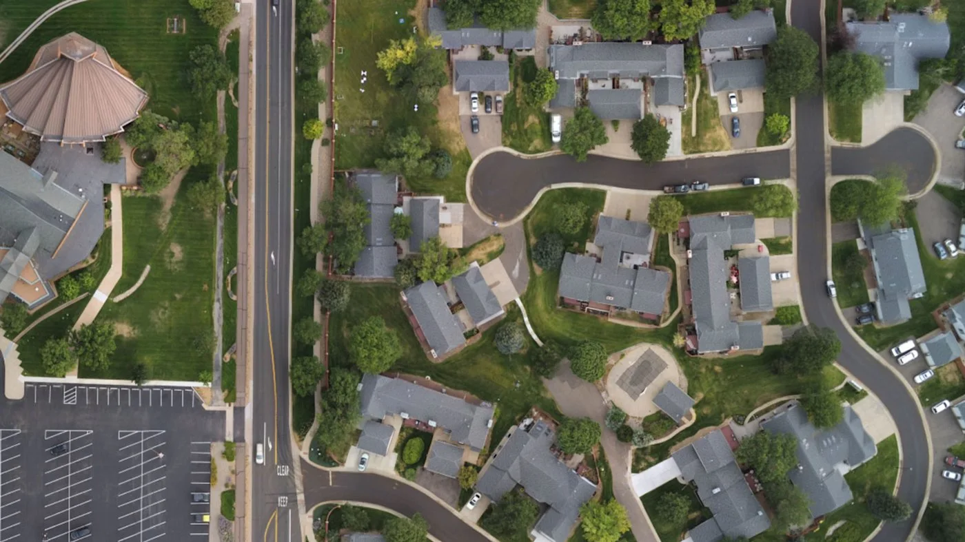
A 2D map in minutes

Drone images are quickly turned into an orthophoto map. The software runs on a mid-range computer, and images can be captured with PIX4Dcapture (Parrot, DJI) or other apps.
PIX4Dreact
PIX4Dreact
02

Markers, measurements and map comparison

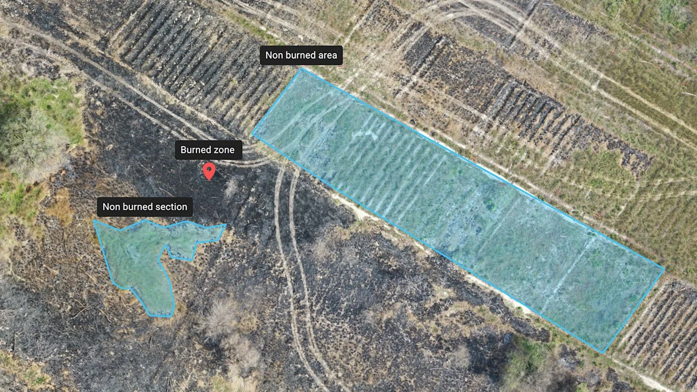
You can place markers on the map, measure distances and areas, overlay GIS layers and compare maps created at different times – for example, how a fire or flood zone is changing.
03

Export and sharing

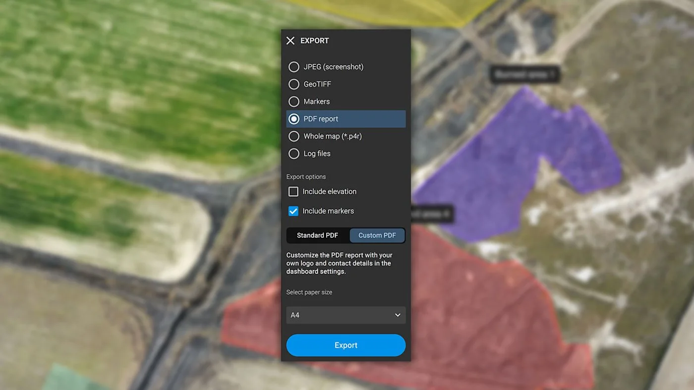
Results are exported as orthophotos (GeoTIFF), markers (GeoJSON, KML, Shapefile), measurements (PDF) and screenshots (JPEG). You can create PDF reports (with your own logo) and share via PIX4Dcloud.
PIX4Dreact
PIX4Dreact
04

Applications

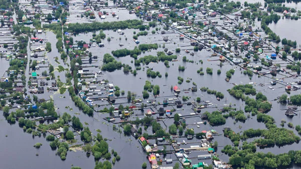
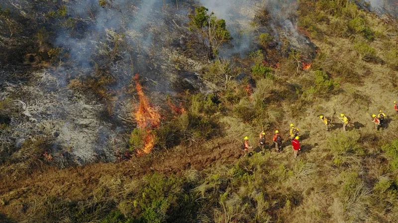
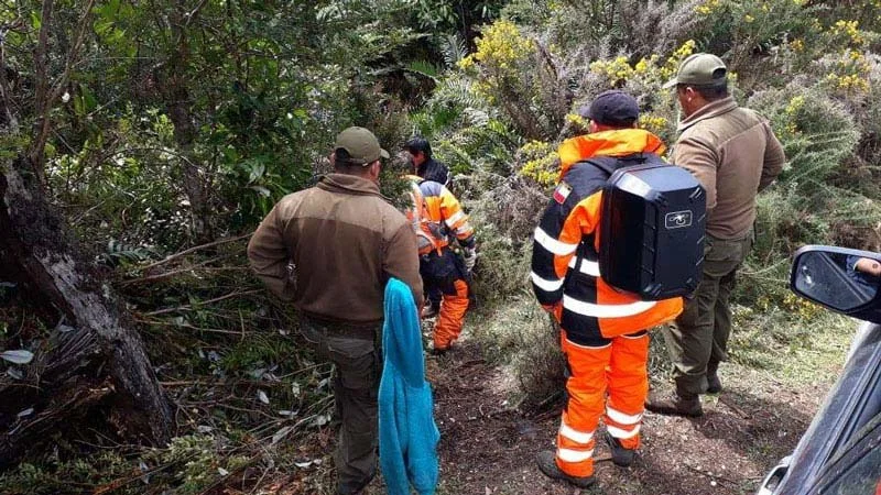
Fires, floods, earthquakes, missing person searches, evacuations and tactical planning. The solution helps you understand the situation faster and make decisions in the field and at headquarters.
05

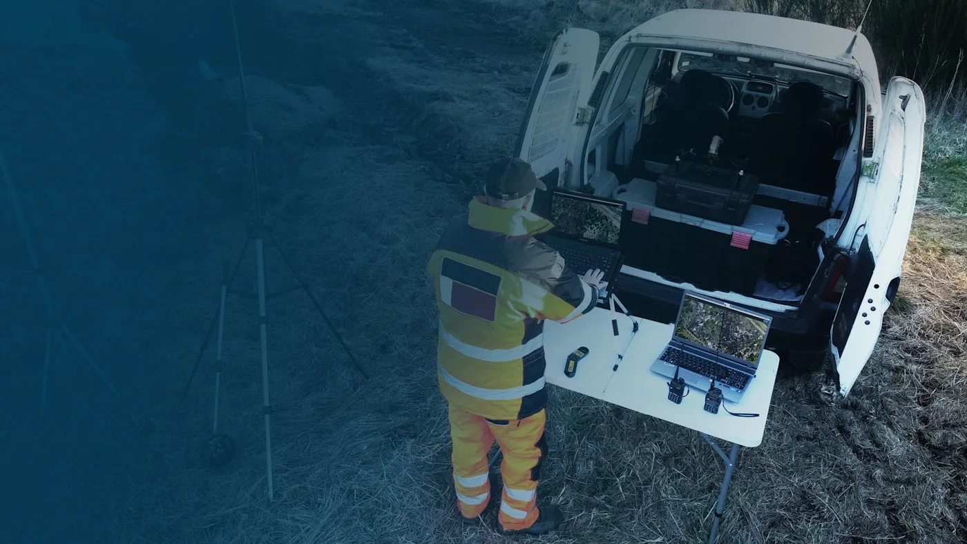
Field workflow

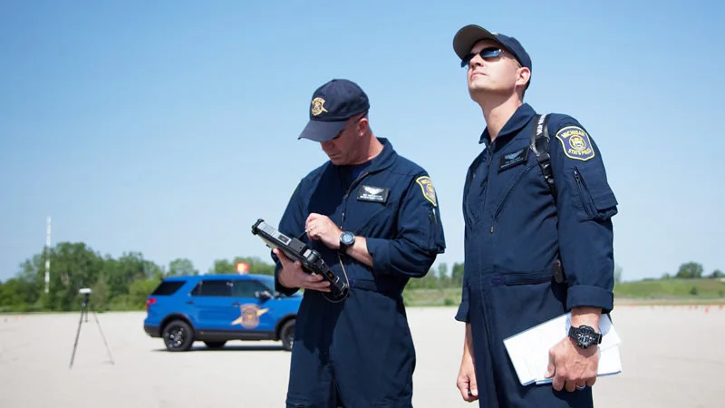
Flight, image transfer, map creation, annotation, report – the whole chain can happen in one place, without the cloud and without long waits.
PIX4Dreact
Dronas.lt is the official Pix4D distributor in the Baltic states. We help you choose a PIX4Dreact licence, select a suitable unmanned aircraft from our range and train your team. Pix4D offers a trial version – contact us and we will help you get it.
Specifications
Type
Rapid 2D mapping software
Processing
Locally on a computer, no internet
Map outputs
Orthophoto GeoTIFF
Markers
GeoJSON, KML, Shapefile
Reports
PDF (custom logo available), measurements PDF, screenshots JPEG
Projects
Map files .p4r; sharing via PIX4Dcloud
Image capture
PIX4Dcapture (Parrot, DJI)
Interface languages
EN, DE, FR, ES, PT, IT, RU, UK, JA, KO, ZH
Why Dronas.lt

Licensing and installation

We help you purchase a licence and get the software running.

Software training

We will teach you how to use the software.

Technical support

Help whenever questions or issues arise.
We can process your data for you.
Enquiry

Get a quote

Write to us — we will get in touch, confirm the configuration and send a commercial offer. No advance payment required.
PIX4Dreact
Product
PIX4Dreact
What happens next
1
We will contact you within 1 business day
2
We will discuss and confirm the configuration
3
We will send a commercial offer
Related products

You may also like

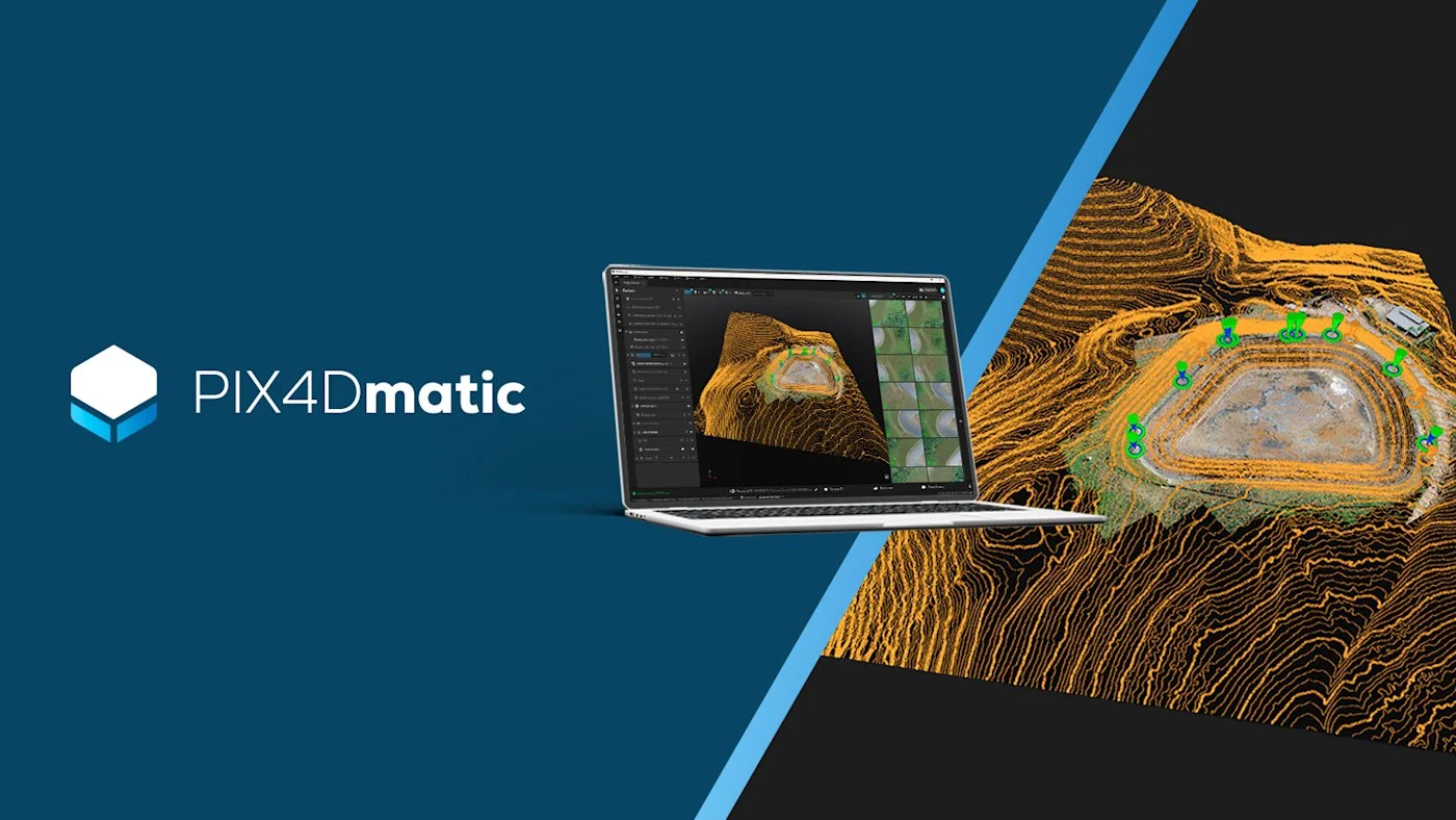
PIX4Dmatic
Pix4D
Desktop photogrammetry and LiDAR software for large projects: point clouds, orthomosaics, 3D models, terrain classification and vector extraction in one application.
Price on request
PIX4Dfields
Pix4D
Agricultural software for drone and satellite data: crop health analysis, zoning and spray maps – processed locally on your computer.
Price on request
PIX4Dcloud
Pix4D
Online platform for processing drone and ground data, monitoring and documenting sites – work with your team in one place, with no user limits.
Price on request
Scroll to Top