Dronas.lt

Pix4D · Software

PIX4Dcloud

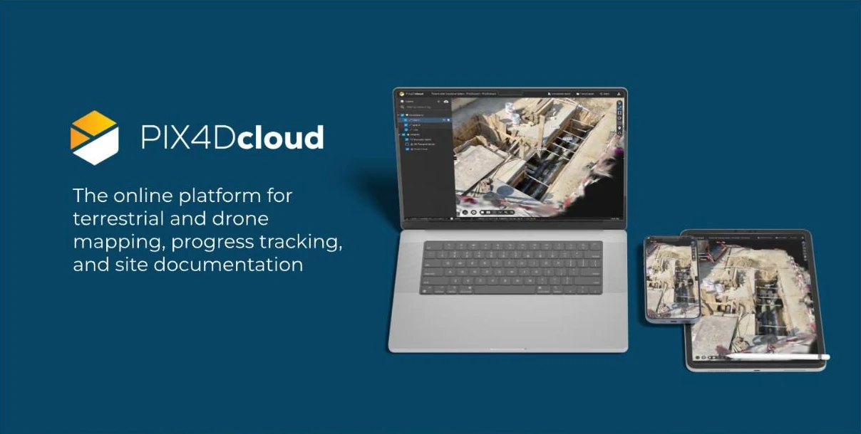
Online platform for processing drone and ground data, monitoring and documenting sites – work with your team in one place, with no user limits.
Price on request
Starter, Pro and Enterprise plans – on request
Official Pix4D distributor in the Baltic states · Licensing · Training · Support
About the product

Description

PIX4Dcloud is Pix4D's online platform where drone and ground data are processed, analysed and presented to the team and the client. It is especially suited to construction, mining and infrastructure sites where changes need to be documented regularly and results shared quickly.
01

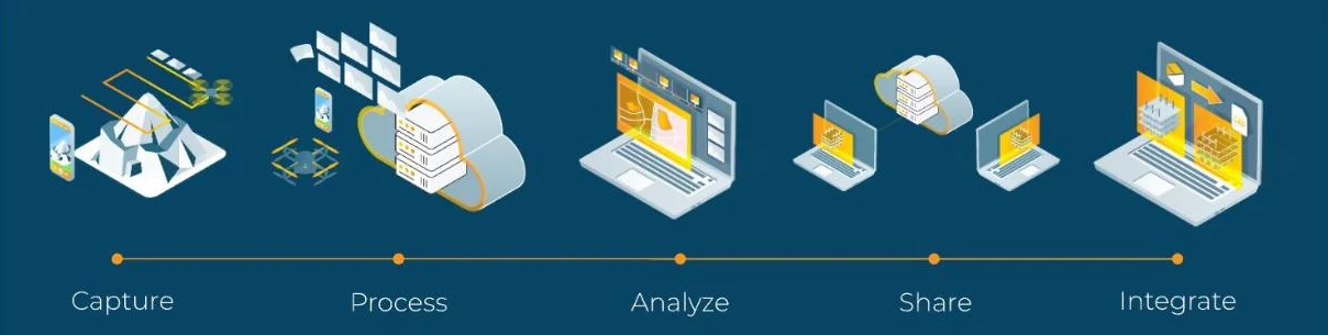
From images to results: capture, process, analyse, share

Upload drone images or other data, the platform processes them in the cloud, and you can analyse the results, share them with colleagues and connect them to other systems. No powerful computer needed – a browser is enough. You can process drone images (on the Enterprise plan – also from drone docks), crane cameras, PIX4Dcatch and RTK data, results from desktop software and design files (DXF, IFC), which can be compared with the actual site condition.
PIX4Dcloud
PIX4Dcloud
02

Site progress tracking and comparison

Regularly update the site with new flights and compare its condition over time in 2D and 3D, calculate volumes and measure changes. Suitable for construction progress monitoring, quarries, warehouses and infrastructure.
03

Orthophotos, 3D mesh, point clouds and measurements

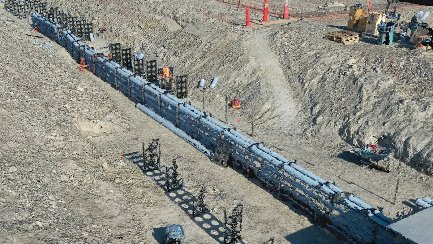
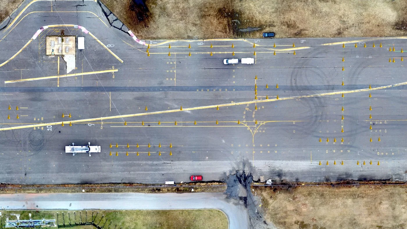
Outputs include orthophotos, 3D mesh models, point clouds and elevation models. In the browser you can measure, add annotations and export data to CAD and GIS formats, and inspect the site virtually without travelling there.
PIX4Dcloud
PIX4Dcloud
04

Three plans: Starter, Pro and Enterprise

Starter includes unlimited collaboration, 2D / 3D outputs, measurements, annotations and export. Pro adds Gaussian Splatting, automatic GCPs, progress tracking, volume comparison, design overlay and Trimble and Esri integrations. Enterprise adds access management, API, webhooks, SSO, custom integrations and drone dock compatibility.
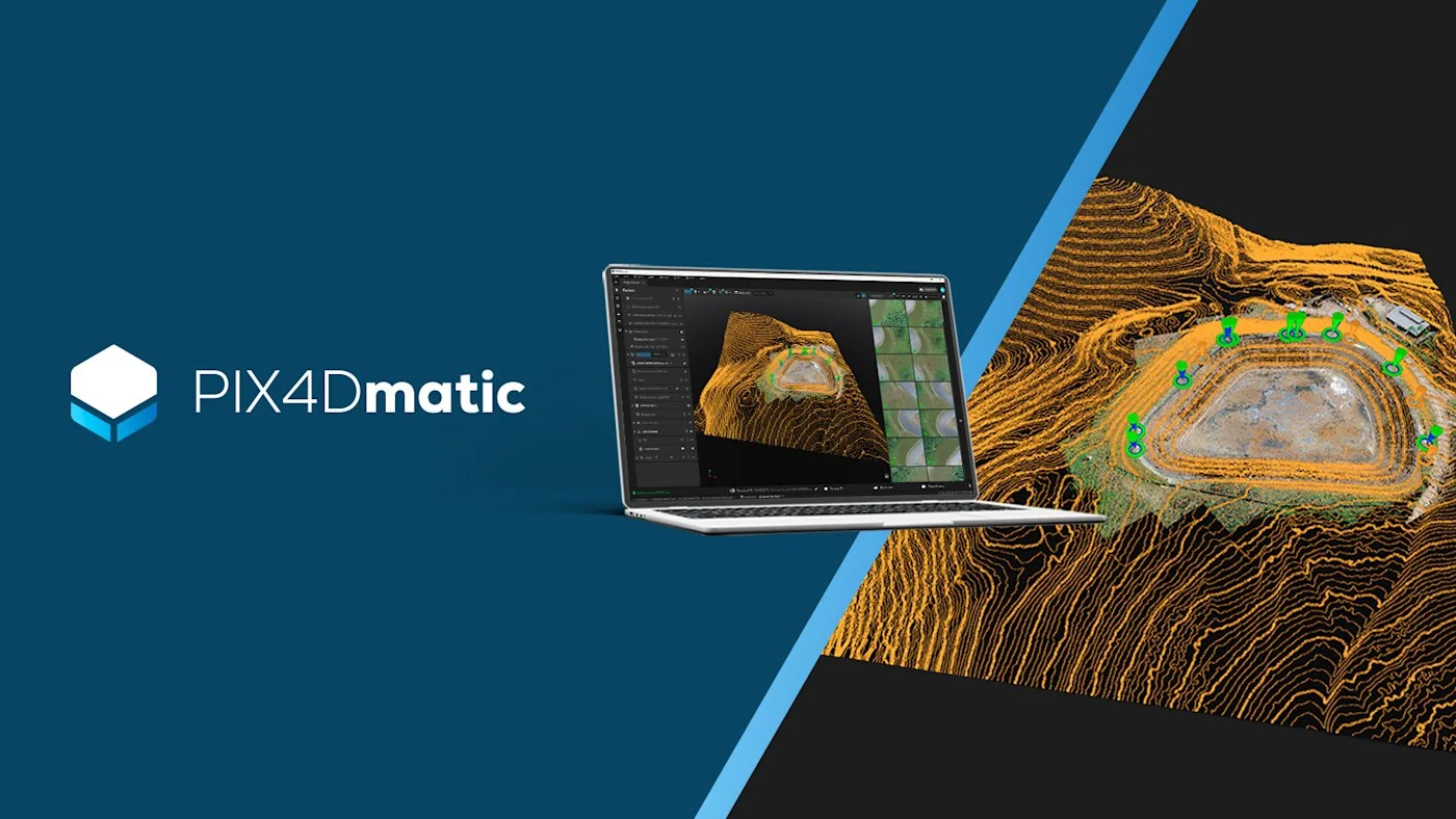
Dronas.lt is the official Pix4D distributor in the Baltic states. We help you choose the right PIX4Dcloud plan, set up your first site and train your team. PIX4Dcloud works well with PIX4Dmatic and DJI docks and drones – consult us when choosing a solution.
The manufacturer declares ISO 27001 and SOC 2 Type 2 compliance.
Specifications
Type
Online photogrammetry and site monitoring platform
Outputs
Orthophotos, 3D mesh, point clouds, elevation models
Analysis
Changes over time, volumes, 2D / 3D comparison, virtual inspection
Data sources
Drone images, crane cameras, PIX4Dcatch, RTK, desktop software outputs, DXF / IFC
Plans
Starter, Pro, Enterprise
Users
Unlimited
Security
ISO 27001, SOC 2 Type 2
Interface languages
EN, DE, FR, ES, PT, IT, JA, KO, TH
Video

Our webinars and reviews

3D Gaussian Splat model of a wind turbine for PIX4Dcloud inspection

Source: our YouTube channel “GeoNovus – Trimble Lietuvoje”. The video loads only after you press “Play”.
Why Dronas.lt

Licensing and installation

We help you purchase a licence and get the software running.

Software training

We will teach you how to use the software.

Technical support

Help whenever questions or issues arise.
We can process your data for you.
Enquiry

Get a quote

Write to us — we will get in touch, confirm the configuration and send a commercial offer. No advance payment required.
PIX4Dcloud
Product
PIX4Dcloud
What happens next
1
We will contact you within 1 business day
2
We will discuss and confirm the configuration
3
We will send a commercial offer
Related products

You may also like

PIX4Dmatic
Pix4D
Desktop photogrammetry and LiDAR software for large projects: point clouds, orthomosaics, 3D models, terrain classification and vector extraction in one application.
Price on request
PIX4Dfields
Pix4D
Agricultural software for drone and satellite data: crop health analysis, zoning and spray maps – processed locally on your computer.
Price on request
PIX4Dreact
Pix4D
Rapid 2D mapping software for rescue services and public safety: a map in minutes, processed locally on a computer, no internet needed.
Price on request
Scroll to Top