
Try another word or clear the filters. The catalogue is constantly growing – if you are looking for specific equipment, we will select it for your task.
Get a quote →
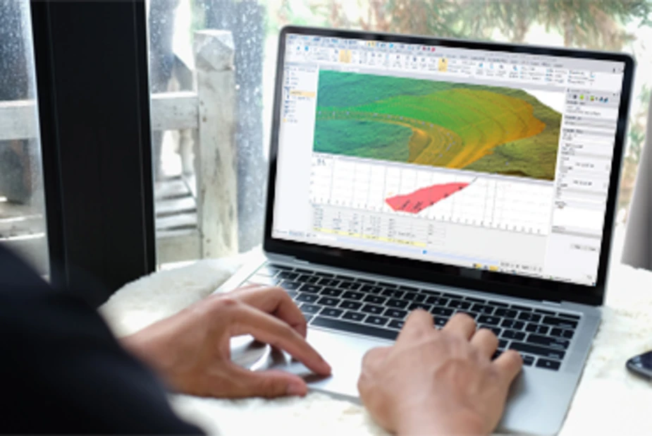
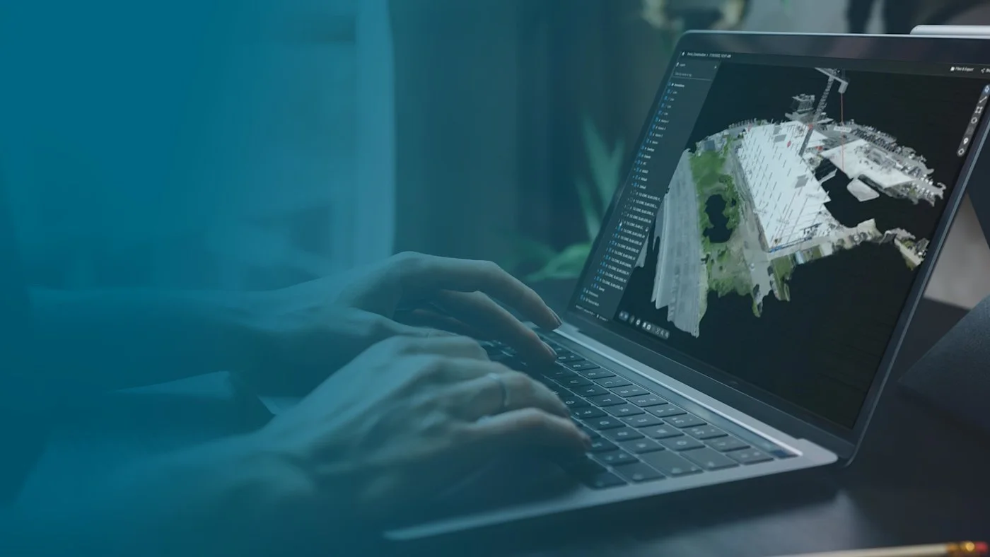
Surveying office software: GNSS, total station, scanner and drone data in one project, Aerial Photogrammetry module for orthomosaics and point clouds.
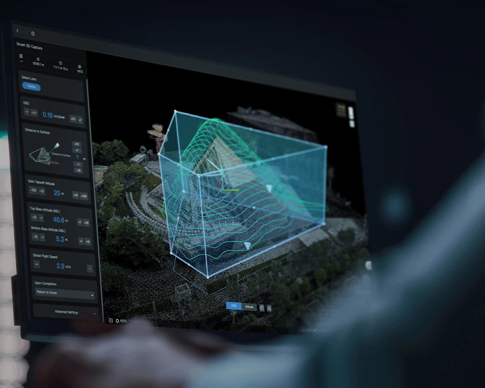
Cloud platform for drone management: remote control, flight planning, data analysis and integrations.
Desktop photogrammetry and LiDAR software for large projects: point clouds, orthophotos, 3D models.
Agricultural drone and satellite data analysis: vegetation indices, zoning, spray maps.
Online platform for processing drone data, monitoring sites and sharing results.
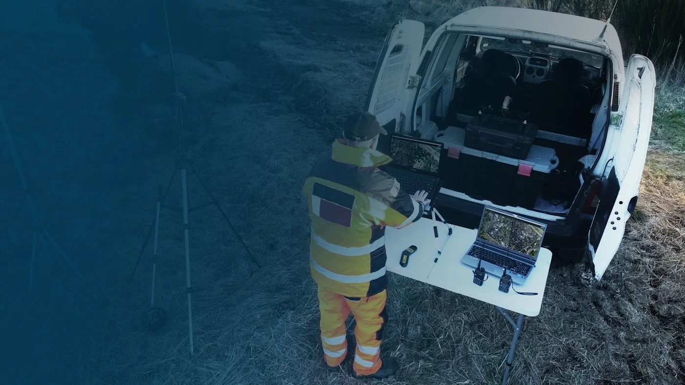
A rapid 2D map for rescue services in minutes, processed locally.
Your shopping cart is empty
Notifications